Air Pollution Chart Manufacturer,Supplier and Exporter in India
Product Code : EL-MAE-3151
Jlab Export is a leading Air Pollution Chart Manufacturer,and suppliers in India
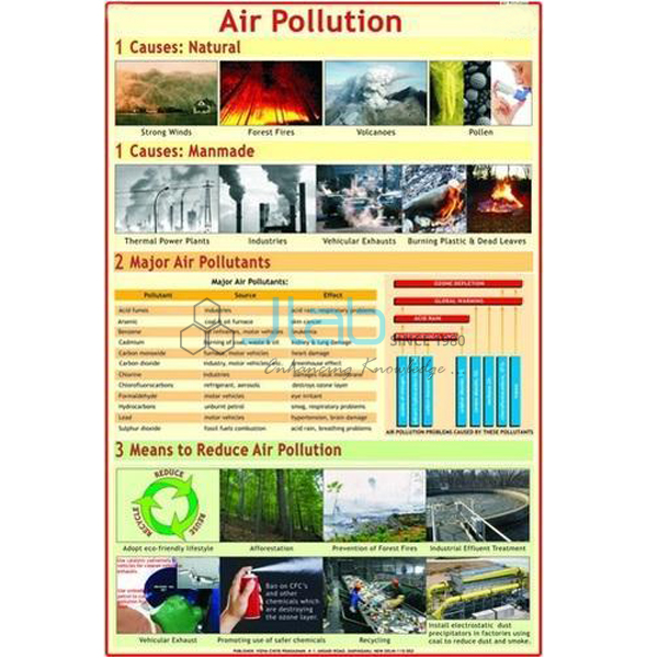
Air Pollution Chart (code EL-MAE-3151) is a 50 x 75 cm wall chart that shows how pollutants affect the human lungs, the thinning of the ozone layer and the greenhouse effect, for science and environmental studies classes. Listed as easy to understand, with a neat graphical presentation, it is laminated, hangs from plastic rollers and comes in English, Hindi or Marathi. JLab (Jain Laboratory Instruments Pvt Ltd, Ambala, India) supplies it to schools, colleges and dealers.
Specifications
| Parameter | Detail |
|---|---|
| Topics shown | How pollutants affect the human lungs; thinning of the ozone layer; the greenhouse effect |
| Size | 50 x 75 cm |
| Printing | Multicolour, in natural colours, on 80 gsm map litho paper |
| Presentation | Easy to understand, with a neat graphical layout |
| Lamination | Hot-seal polyester film on both sides |
| Hanging | Plastic rollers at top and bottom |
| Language editions | English, Hindi or Marathi (separate charts) |
| Quality check | Each chart is visually inspected before dispatch |
| Pack quantity | Each (sold individually) |
| Minimum order quantity | 10 units |
| Dispatch time | Usually 7–10 working days |
| Product code | EL-MAE-3151 |
| Supplied by | Jain Laboratory Instruments Pvt Ltd (JLab), Ambala, India |
What Is the Air Pollution Chart Used For?
The chart links three ideas that pupils often confuse. The first is what polluted air does inside the body: fine particles and gases such as sulphur dioxide and nitrogen oxides irritate the airways and lungs and are linked with asthma and bronchitis. The second is the ozone layer high in the atmosphere, which absorbs most of the Sun’s harmful ultraviolet radiation and was thinned by chlorofluorocarbons (CFCs) once widely used in refrigerators, air conditioners and aerosol sprays. The third is the greenhouse effect, in which carbon dioxide, methane and other gases trap heat near the Earth’s surface.
A good lesson makes the difference clear: the natural greenhouse effect keeps the planet warm enough for life, but the extra gases released by burning fuels and clearing forests strengthen it and drive global warming, while ozone thinning is a separate problem that lets more ultraviolet light reach the ground. The chart suits environmental studies, middle-school science and secondary geography, and it pairs well with the other titles of the Man and Environment series.
What to Specify When Ordering
- Language edition — English, Hindi or Marathi.
- Quantity — minimum 10 units, sold individually.
- Companion titles — the air and noise pollution, water pollution and environment degradation charts cover the rest of the pollution topic.
Frequently Asked Questions
What does the Air Pollution Chart show?
According to its listing, it shows how pollutants affect the human lungs, the thinning of the ozone layer and the greenhouse effect.
What size and paper is it printed on?
It is 50 x 75 cm, printed in multicolour on 80 gsm map litho paper and laminated on both sides with hot-seal polyester film.
Which language editions are available?
English, Hindi and Marathi, as separate charts. Please state the edition you need.
Is the ozone hole the same thing as the greenhouse effect?
No. Ozone thinning lets more ultraviolet radiation reach the Earth; the greenhouse effect is the trapping of heat by gases such as carbon dioxide. The chart covers both, which helps pupils keep them apart.
How does it differ from the Air and Noise Pollution Chart?
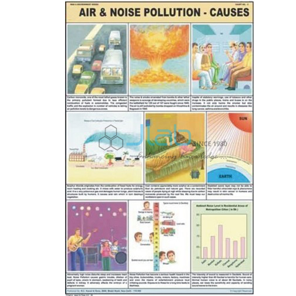
This chart is about air pollution alone, including its effect on the lungs, the ozone layer and the greenhouse effect; the Air and Noise Pollution Chart treats air and noise pollution together.
Who supplies this chart?
JLab, the trading name of Jain Laboratory Instruments Pvt Ltd of Ambala, Haryana, India, supplies it and quotes directly.
Supplier
JLab is the trading name of Jain Laboratory Instruments Pvt Ltd, incorporated in 2017 and based on Hargolal Road, Ambala, Haryana. It supplies environmental education charts such as this title together with the laboratory and teaching equipment in its own range, so schools and dealers can place a single order for a science or geography room, and each chart is inspected by eye before it is packed. JLab exports worldwide and ships to buyers in every region — Chad in Central Africa, Kenya in East Africa, the UAE in the Middle East, Papua New Guinea in Oceania and El Salvador in Central America and the Caribbean, for example. Tender buyers can refer to the JLab lab tenders page.
Related Pollution Charts and Models
- Air and Noise Pollution Chart — air and noise pollution together on one chart from the same series.
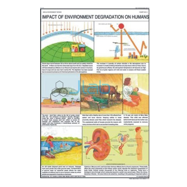
- Impact of Environment Degradation on Humans Chart — how the ozone layer protects us and the greenhouse effect of carbon dioxide.
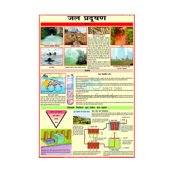
- Water Pollution Chart — industrial effluents in river water and the supply of safe drinking water.
- Air and Water Pollution 3D Model — a rigid PVC relief model of the factors that pollute air and water.
- Non Conventional Sources of Energy — wind, bio-, solar, geothermal and tidal energy, the cleaner alternatives.
See the whole Man and Environment series or all Charts.
Request a Quote
Quotations come directly from JLab. Send the language edition, the quantity (minimum 10 units) and the delivery destination with the Add To Cart enquiry button or through the contact page.
Last updated: 4 October 2026