
Means of Transport Chart Manufacturer,Supplier and Exporter in India
Product Code : EL-SC-3188
Jlab Export is a leading Means of Transport Chart Manufacturer,and suppliers in India
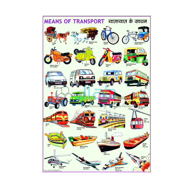
Means of Transport Chart (code EL-SC-3188) is a 50 x 75 cm wall chart for teaching children the different ways people and goods travel, by land, water and air. It is printed in multicolour on 80 GSM map litho paper, thermally laminated on both sides with 30 micron polyester film and fitted with plastic rollers at the top and bottom for hanging; English, Hindi, Kannada, Urdu and Bengali are listed. JLab (Jain Laboratory Instruments Pvt Ltd, Ambala, India) supplies it to schools, colleges and dealers.
Get a quote: use the Add To Cart enquiry button below, or send your quantity and destination through the contact page.
Specifications
| Parameter | Detail |
|---|---|
| Subject | Means of transport |
| Size | 50 x 75 cm (small size) |
| Languages available | English, Hindi, Kannada, Urdu and Bengali |
| Paper | 80 GSM map litho paper |
| Printing | Multicolour |
| Lamination | Thermal lamination, 30 micron polyester film on both sides |
| Rollers and hanging | Plastic rollers at the top and bottom, with hanging arrangement |
| Quality check | Each chart is visually inspected before dispatch |
| Pack quantity | Each (sold individually) |
| Minimum order quantity | 10 units |
| Dispatch time | Usually 7–10 working days |
| Product code | EL-SC-3188 |
| Supplied by | Jain Laboratory Instruments Pvt Ltd (JLab), Ambala, India |
What Is the Means of Transport Chart Used For?
Transport is a favourite primary EVS and social studies topic: children sort vehicles into land, water and air transport, compare slow and fast or old and modern ways of travelling — from animal-drawn carts and bicycles to trains, ships and aeroplanes — and talk about which transport carries people and which carries goods. In middle school the same ideas return in geography lessons on transport and communication (class 7 in the NCERT scheme), and the chart is a handy prompt for road-safety talks and for vocabulary practice in the regional language of the class.
The rollers at both ends keep the chart flat on the wall and let it be rolled up for storage; the thermal polyester lamination can be wiped with a damp cloth. The vehicles pictured are not listed, so ask for a photo of the print you are quoted if you need particular ones.
What to Specify When Ordering
- Language version — English, Hindi, Kannada, Urdu or Bengali; confirm with JLab how the languages are arranged on the chart you are quoted.
- Quantity per language — the minimum order is 10 units in total.
- Related charts — road traffic signs and other social studies titles can be added to the same enquiry.
Frequently Asked Questions
Which languages is the Means of Transport Chart available in?
English, Hindi, Kannada, Urdu and Bengali are listed. State the version you need; JLab will confirm whether the chart you are quoted carries one language or two.
What paper and lamination are used?
Multicolour printing on 80 GSM map litho paper, thermally laminated on both sides with 30 micron thick polyester film.
How is the chart hung?
It has plastic rollers at the top and at the bottom, with a hanging arrangement, so it is ready to hang on a classroom wall.
What size is it?
50 x 75 cm, a comfortable size for a classroom wall or a corridor display board.
What are the minimum order and dispatch time?
At least 10 units per order, sold individually, usually dispatched within 7–10 working days after a visual check. For export quotations, add the destination country and port or city and delivery terms such as FOB or CIF.
Who supplies this chart?
JLab — Jain Laboratory Instruments Pvt Ltd, Ambala, Haryana, India — supplies it and quotes directly.
Supplier
JLab is the trading name of Jain Laboratory Instruments Pvt Ltd, a company incorporated in 2017 on Hargolal Road, Ambala, Haryana. It supplies multilingual classroom charts such as this one alongside the laboratory equipment it makes for schools, so dealers and schools in different language regions can order charts and lab items together. Each chart is checked by eye before packing, and reorders come through the same office. The company is registered for GST under GSTIN 06AADCJ9848D1ZE and holds Legal Entity Identifier 549300DTGS77DGYD6N03. JLab can ship to every region of the world — Greece in Southern Europe, Hungary in Eastern Europe, Sudan in North Africa, the UK in Western Europe and Turkmenistan in Central Asia are examples. Tender information is on the JLab lab tenders page.
Related Charts and Teaching Aids
- Road Traffic Signs Chart — a 50 x 75 cm Special Charts title for road-safety lessons.
- Traffic Light — a row of red, amber and green indicator lamps, each with its own input socket, for a working road-signal demonstration.
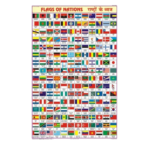
- Flags of all Nation Chart — national flags, for lessons on countries and travel around the world.
See the Charts on Geography, all Special Charts or the full Charts range.
Request a Quote
Quotes come direct from JLab. Press Add To Cart on this page, or send the language version, the number of charts (minimum 10 units) and your delivery location through the contact page.
Last updated: 3 October 2026