
Raised Relief Map of the Moon Manufacturer,Supplier and Exporter in India
Product Code : EL-AE-7199
Jlab Export is a leading Raised Relief Map of the Moon Manufacturer,and suppliers in India
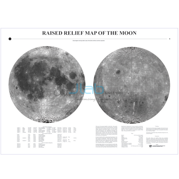
Raised Relief Map of the Moon (code EL-AE-7199) is a raised relief map of the lunar surface that shows both the near side and the far side, with the landing sites of lunar missions marked. At 22 x 34 in and a scale of 1 inch to 240 miles, it lets students see and touch the Moon’s craters, basins and highlands in astronomy and geography lessons. It is made by Jain Laboratory Instruments Pvt Ltd (JLab) at its works in Ambala, India.
Specifications
| Parameter | Detail |
|---|---|
| Type | Raised relief map of the surface of the Moon |
| Coverage | Near side and far side |
| Features marked | Lunar mission landing sites |
| Scale | 1 inch = 240 miles (about 1 cm = 152 km), a ratio of about 1:15,200,000 |
| Size | 22 x 34 in (about 559 x 864 mm) |
| Quality check | Each map is visually inspected before dispatch |
| Pack quantity | Each (sold individually) |
| Minimum order quantity | 10 units |
| Dispatch time | Usually 7–10 working days |
| Product code | EL-AE-7199 |
| Manufacturer | Jain Laboratory Instruments Pvt Ltd (JLab) — OEM |
| Country of origin | India (made in Ambala, Haryana) |
What Is the Moon Relief Map Used For?
A photograph flattens the Moon; a raised relief map gives its surface shape, so students can trace crater rims, mountain ranges and the broad lowland basins with a finger as well as an eye. Because the Moon turns once on its axis in the time it takes to orbit Earth, the same face always points towards us, and the far side is known only from spacecraft. Comparing the two sides shows the contrast clearly: the near side carries the large, dark plains called maria, while the far side is mostly heavily cratered highland with very few maria.
The marked landing sites link the map to the history of lunar exploration — every crewed Apollo landing, for example, was on the near side. The map suits Moon and space-exploration topics in school science and geography, astronomy clubs and introductory planetary-science teaching. Store it flat or hang it on a wall, keep heavy objects off the raised surface, and dust it gently.
What to Specify When Ordering
- Quantity — the minimum order is 10 maps.
- Landing sites — if a particular mission must be shown, name it so JLab can confirm it is marked.
- Companion models — an orbiter or planetarium set can be added to the same enquiry.
Frequently Asked Questions
What scale is the Raised Relief Map of the Moon?
One inch on the map represents 240 miles on the Moon, or about 1 cm to 152 km. Since a mile is 63,360 inches, 240 miles is 15,206,400 inches, so the ratio is about 1:15,200,000.
How big is the map?
It measures 22 x 34 in, about 559 x 864 mm. At 240 miles to the inch, the Moon’s disc works out at about 9 inches across.
Does it show the far side of the Moon?
Yes. Both the near side, which always faces Earth, and the far side are shown, so students can compare the dark maria of the near side with the cratered highlands of the far side.
Which lunar landing sites are marked?
The map marks lunar mission landing sites, but the listing does not name them or give the date of the edition. If you need a specific landing, including a recent one, ask JLab to confirm before ordering.
Why choose a raised relief map rather than a flat chart?
The raised surface shows heights and depressions directly, which helps students understand crater shapes and the difference between lowland maria and highlands, and makes the map usable by touch.
What should an export enquiry include?
The number of maps, destination country and port or city, delivery terms such as FOB or CIF, any packing or labelling needs and a tender reference if there is one.
Who manufactures this Moon map?
Jain Laboratory Instruments Pvt Ltd, trading as JLab, at its works in Ambala, Haryana, India.
OEM Manufacturer
JLab is the trading name of Jain Laboratory Instruments Pvt Ltd, a manufacturer of astronomy, geography and science teaching aids in India, incorporated in 2017 and based on Hargolal Road, Ambala, Haryana. The Moon map is produced in JLab’s own works and not sourced from a trader, so schools, colleges, dealers and importers buy straight from the maker, each map is inspected by eye before dispatch, and repeat orders go back to the same manufacturer. JLab exports to every region; buyers in Italy in Southern Europe, Tunisia in North Africa, Botswana in Southern Africa, the Netherlands in Western Europe and Canada in North America illustrate that reach. Tender information is on the JLab lab tenders page.
Sun, Earth and Moon Teaching Aids
- Orbiter Astronomy — a hand-turned, gear-driven Sun, Earth and Moon model for day and night, seasons and Moon phases.
- Illuminated Orbiter Astronomy — an illuminated orbiter driven by an electronic motor.
- Project Planetarium — a study guide, solar system chart and mini Sun-Moon-Earth model for plotting eclipses and Moon phases.
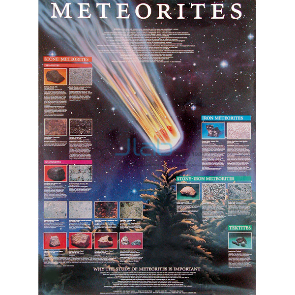
- Meteorites Poster — photographs of meteorite fragments with their composition and discovery sites.
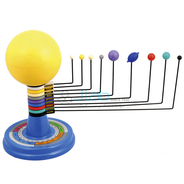
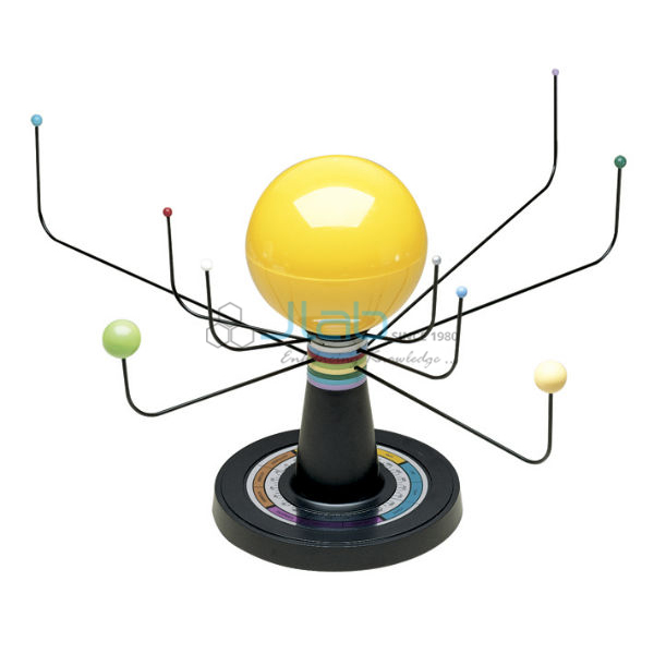
- Solar System Model Astronomy — a model whose base calendar sets the planets to their positions by date.
See the full Astronomy Equipment range or all Geography Lab Models.
Request a Quote
JLab quotes for this map directly as the manufacturer. Use the Add To Cart enquiry button on this page, or send the number of maps (minimum 10), any landing sites you need confirmed and your delivery location through the contact page.
Last updated: 3 October 2026