
Inflatable Globe Geopolitical Manufacturer,Supplier and Exporter in India

Product Code : EL-ME-7483
Jlab Export is a leading Inflatable Globe Geopolitical Manufacturer,and suppliers in India
Inflatable Globe Geopolitical (code EL-ME-7483) is a 600 mm inflatable world globe that shows countries, capitals, important cities, time zones and geographic features, among other details. Because it is easy to inflate, it is a practical way to put a globe into the hands of each student, at school or at home. It is made by Jain Laboratory Instruments Pvt Ltd (JLab) at its works in Ambala, India.
Specifications
| Parameter | Detail |
|---|---|
| Type | Inflatable world globe, geopolitical |
| Size | 600 mm |
| Shows | Countries, capitals, important cities, time zones and geographic features |
| Inflation | Easy to inflate |
| Suitable for | School or home use |
| Quality check | Each globe is visually inspected before dispatch |
| Pack quantity | Each (sold individually) |
| Minimum order quantity | 10 units |
| Dispatch time | Usually 7–10 working days |
| Product code | EL-ME-7483 |
| Manufacturer | Jain Laboratory Instruments Pvt Ltd (JLab) — OEM |
| Country of origin | India (made in Ambala, Haryana) |
How Does It Compare with Other JLab Globes?
| Globe | Listed features |
|---|---|
| This inflatable globe (EL-ME-7483) | 600 mm; inflatable and easy to inflate; countries, capitals, important cities, time zones and geographic features |
| Student Globe Model | Desktop-size globe in geographical detail, for students’ own desks or small groups |
| Political Globe | Political boundaries of the world’s countries; offered in several sizes and languages |
| Globes, Economy | Economy range offered in three diameters, from teacher’s demonstration globe to student desk globes |
| Geographical Globes, Superior | Superior range of geographical globes in three sizes |
Choose the inflatable globe when you want a large globe that students can pass around, handle freely and store flat between lessons. The desk, economy and superior globes are rigid globes for a fixed place on a desk or teacher’s table, and the political globe suits buyers who need a particular language.
What Is the Inflatable Globe Used For?
A globe shows the Earth without the distortion that every flat map projection introduces, so it is the natural starting point for lessons on continents and oceans, countries and their capitals, and the grid of latitudes and longitudes taught in class 6 geography. With the time zones marked, students can see why local time changes as you travel east or west, and teachers can set quick finding tasks — locate a capital, trace a coastline, name the countries a line of latitude crosses. An inflatable globe can be handed from group to group without the risk of breaking a stand or a rigid sphere, and it is equally useful for home learning.
Inflate it until it is firm but not tight, keep it away from sharp edges and heaters, and let the air out to store it flat at the end of term.
What to Specify When Ordering
- Quantity — the minimum order is 10 globes; schools wanting one per student can order a full class set.
- Size check — the listing gives the globe as 600 mm; confirm the inflated measurement with JLab if it must fit a display shelf or cabinet.
- Companion items — world maps, rigid globes and compasses (linked below) can be quoted together.
Frequently Asked Questions
What does the Inflatable Globe Geopolitical show?
Countries, capitals, important cities, time zones and geographic features are among the details printed on it.
What size is the globe?
It is listed as 600 mm. Globe sizes are normally quoted as the diameter, so confirm the inflated measurement with JLab if exact size matters.
Is it hard to inflate?
No. It is described as an easy-to-inflate world globe, and it can be deflated again for flat storage.
Who is it for?
Students in school geography lessons, and families using it at home; it is a way to give every student a globe to handle rather than sharing one teacher’s globe.
How does it differ from a rigid desk globe?
A rigid globe such as the Student Globe Model sits at a desk; the inflatable globe can be passed around, handled freely and packed away flat.
Who manufactures this globe?
Jain Laboratory Instruments Pvt Ltd (JLab) makes it at its works in Ambala, Haryana, India, and quotes for it directly.
OEM Manufacturer
JLab is the trading name of Jain Laboratory Instruments Pvt Ltd, a manufacturer of geography and science teaching equipment in India, incorporated in 2017 and based on Hargolal Road, Ambala, Haryana. JLab produces this inflatable globe in its own works rather than buying it in from a trader, so schools, colleges, dealers and importers buy factory-direct; every globe gets a visual inspection before dispatch, and repeat orders go straight to the manufacturer. JLab exports worldwide and supplies buyers in every region, such as Guyana in South America, Mali in West Africa, Fiji in Oceania, Kazakhstan in Central Asia and Cameroon in Central Africa. Tender buyers will find details on the JLab lab tenders page.
Maps and Globes
- Map Of World Political — a giant-size laminated political wall map of the world with plastic rollers.
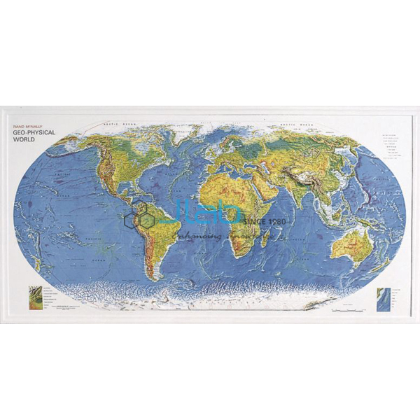
- Geo Physical World Map — a 3-D raised relief map highlighting physical features.
- Student Globe Model — a desktop-size globe for individual or small-group work.
- Political Globe — a rigid globe showing country boundaries, in several languages.
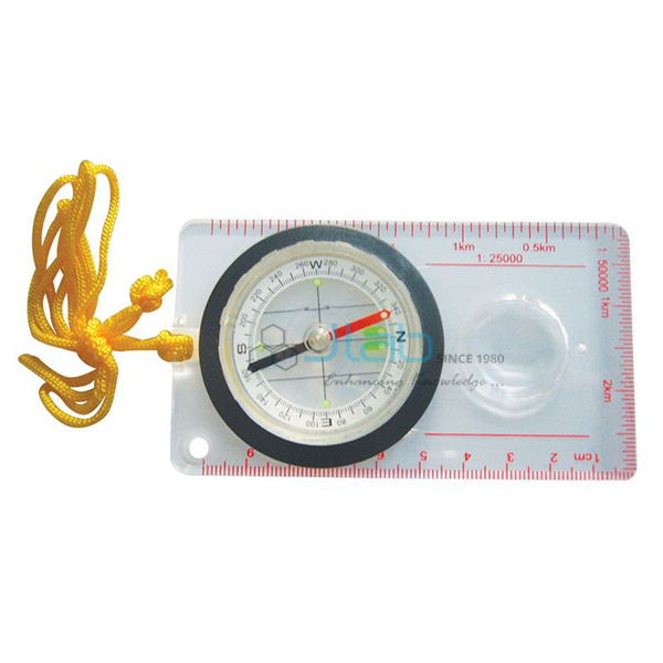
- Orienteering Compass — a base-plate compass for map and direction work alongside the globe.
See the full Mapping Equipment range or all Geography Lab Models.
Request a Quote
Quotes come direct from the manufacturer. Use the Add To Cart enquiry button on this page, or send the number of globes (minimum 10 units), the destination country and port or city, your delivery terms such as FOB or CIF and any tender reference through the contact page.
Last updated: 3 October 2026