
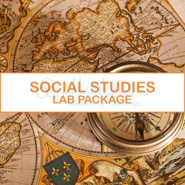
Social Studies Lab Package Manufacturer,Supplier and Exporter in India
Product Code : EL-SK-13318
Jlab Export is a leading Social Studies Lab Package Manufacturer,and suppliers in India
Social Studies Lab Package (code EL-SK-13318) is a complete set of charts, maps, models, specimens and instruments for a school social studies room, bringing history, geography, civics, economics and culture into hands-on, inquiry-based lessons. It runs from rock and mineral sets and electric earth models to freedom-struggle charts and civics posters. JLab produces and packs this social studies set in Ambala, India.
Specifications
| Parameter | Detail |
|---|---|
| Subjects | History, geography, civics, economics and culture |
| Maps | 8 laminated wall maps (70 x 100 cm), 4 framed raised relief maps (72 x 100 cm), 5 history maps, a 55 x 90 cm timeline |
| Models | 8 geomorphology models (25 x 35 cm), 7 geographical term models (40 x 35 cm), 8-piece fibre glass land form model (90 x 90 cm) |
| Rock sets | Rocks (50), minerals (30), ores (20), alloys (20), gems (20) |
| Instruments | Telescope with tripod, binocular, brass Brunton compass, pocket stereoscope |
| Globe | Illuminated 2-in-1 globe, 30 cm dia, 48 cm high |
| Storage | 3 iron map stands, each for 36 maps |
| Quality check | Each package is visually inspected before dispatch |
| Pack quantity | Each (sold individually) |
| Minimum order quantity | 1 unit |
| Dispatch time | Usually 14–18 working days |
| Product code | EL-SK-13318 |
| Manufacturer | Jain Laboratory Instruments Pvt Ltd (JLab) — OEM |
| Country of origin | India (made in Ambala, Haryana) |
Geography and Earth Science
Twenty 75 x 100 cm geography charts cover topics from the rock cycle, volcanoes and glaciers to the ozone layer, the water and carbon cycles and the solar system. The wall maps show India, Asia and the world in political and physical form, with state maps on request. The models show river transport, ice sheets, plate boundaries, faults, deltas, valleys, waterfalls and dams, and the land form model joins into one hexagon showing plains, deserts, coastlines, cities, canals and highways.
Electric models demonstrate day and night, the phases of the moon, the seasons and standard time, and a motorised model shows the solar system. The globe shows physical features and turns political when its light is switched on.
History and Civics Charts
Ten English-Hindi charts trace Indian civilisation from the Indus Valley to the Mughals, and eleven English charts follow the freedom struggle from the revolt of 1857 to independence in 1947. History maps cover the Aryan period, the Mauryan empire, Ashoka, Akbar and the rise of British power, alongside portraits of Gandhi, Subhash Chandra Bose, Vivekananda, Bhagat Singh and Maharaja Ranjit Singh. Twenty civics charts deal with citizenship, duties, national symbols, government and fundamental rights.
Related Geography Items
- Illuminated Globe — a separate illuminated globe for other classrooms.
- Collection of 50 Rocks — a 50-rock collection sold as an item on its own.
- Geography Teaching Models — further models for teaching physical geography.
More complete lab packages are in Science Kit.
Request a Quote
Use Add To Cart, or send the number of packages, the state map you need and the delivery address through the contact page.
Last updated: 25 October 2026