
Africa Political Chart Manufacturer,Supplier and Exporter in India
Product Code : EL-MC-3297
Jlab Export is a leading Africa Political Chart Manufacturer,and suppliers in India
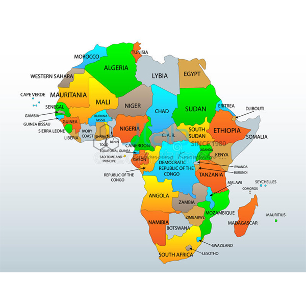
Africa Political Chart (code EL-MC-3297) is a laminated 70 x 100 cm wall chart of Africa’s countries and the boundaries between them, used for lessons on the continent in school social science and geography and in college geography rooms. Buyers choose an English-only or a Hindi-only edition. It is made by Jain Laboratory Instruments Pvt Ltd (JLab) at its works in Ambala, India.
Specifications
| Parameter | Detail |
|---|---|
| Subject | Political map of Africa |
| Finish | Laminated |
| Size | 70 x 100 cm |
| Language | English-only or Hindi-only edition |
| Quality check | Each chart is visually inspected before dispatch |
| Pack quantity | Each (sold individually) |
| Minimum order quantity | 10 units |
| Dispatch time | Usually 7–10 working days |
| Product code | EL-MC-3297 |
| Manufacturer | Jain Laboratory Instruments Pvt Ltd (JLab) — OEM |
| Country of origin | India (made in Ambala, Haryana) |
What Is the Africa Political Chart Used For?
Teachers use a political chart of Africa when the syllabus works through the continents one by one. Typical classroom tasks are grouping the countries into North, West, Central, East and Southern Africa, picking out landlocked states such as Chad, Mali, Niger, Uganda and Zambia, and noticing that Lesotho is surrounded on every side by South Africa. Hung beside a physical map, it also helps pupils connect deserts, rivers and highlands with the countries that contain them, and it serves as a quick reference in a geography lab when current-affairs topics name an African country.
Lamination keeps the print clean in a busy classroom: wipe it with a soft, slightly damp cloth, and roll it loosely or lay it flat for storage instead of folding it.
What to Specify When Ordering
- Edition — English only or Hindi only.
- Number of charts — 10 units is the minimum order.
- Hanging — rollers or eyelets are not mentioned in this listing; ask what is supplied if your rooms need a particular fitting.
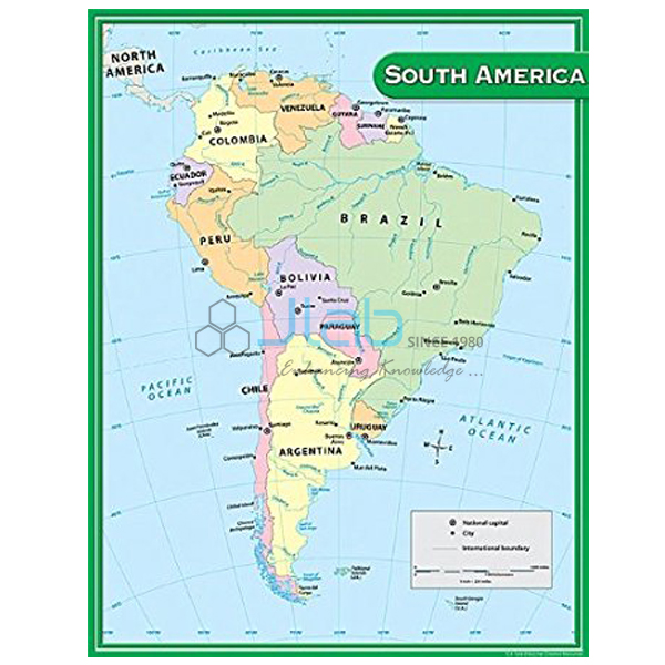
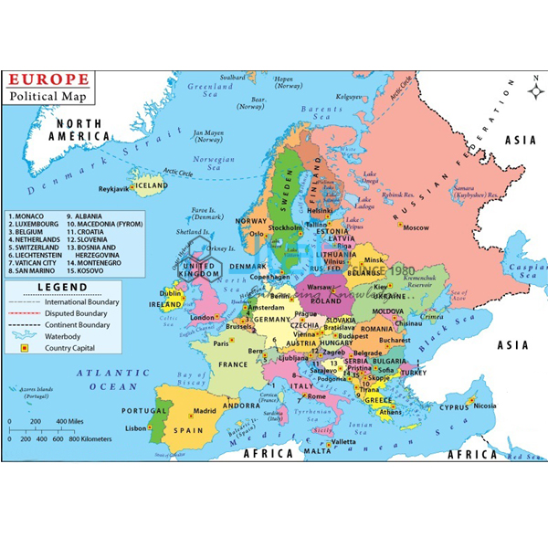
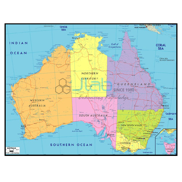
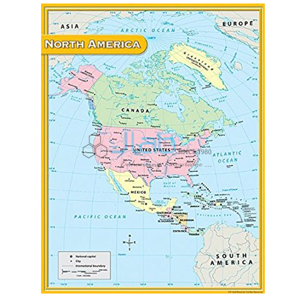
- Other continents — the Asia, Europe, Australia, North America and South America charts can go on the same enquiry.
Frequently Asked Questions
What size is the Africa Political Chart, and which languages are available?
The chart is 70 x 100 cm with a laminated finish, and it is produced as an English-only edition or a Hindi-only edition. A combined bilingual version is not listed.
Does it mark capital cities and the Equator?
The listing describes it as a political chart of Africa but gives no detailed legend, so it does not say whether capitals, cities or lines of latitude are marked. Ask JLab for a current image of the chart if those details matter for your lessons.
Can I order the other continent charts at the same time?
Yes. JLab lists Asia, Europe and Australia political charts and North America and South America charts in the same laminated 70 x 100 cm size, and they can all be quoted in one enquiry.
Who manufactures the chart?
It is manufactured by Jain Laboratory Instruments Pvt Ltd (JLab) at the company’s works in Ambala, Haryana, which quotes for it directly.
OEM Manufacturer
JLab is the trading name of Jain Laboratory Instruments Pvt Ltd, a maker of educational laboratory equipment and classroom charts in India, incorporated in 2017 with its base on Hargolal Road, Ambala, Haryana. The Africa Political Chart is made in-house rather than resold from a trader, so schools, colleges, dealers and importers get it factory-direct, every chart is inspected by eye before dispatch, and repeat orders are handled by the manufacturer itself. JLab exports worldwide and supplies buyers in every region — Tanzania in East Africa, Congo in Central Africa, Tunisia in North Africa, Colombia in South America and Switzerland in Western Europe are a few examples. Tender buyers will find details on the JLab lab tenders page.
More Continent Charts and Globes
- Asia Political Chart — the neighbouring continent, laminated, 70 x 100 cm.
- Europe Political Chart — Africa’s northern neighbour across the Mediterranean, same format.
- South America Chart — another continent chart in the same size and finish, useful for comparison lessons.
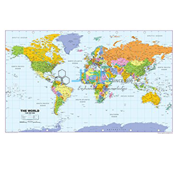
- World Physical Chart — for the physical features behind the political map.
- Inflatable Globe Geopolitical — a world globe showing countries, capitals and important cities that pupils can handle.
See the full Maps Charts range or all Charts.
Request a Quote
Quotes come direct from the manufacturer. Press Add To Cart on this page, or write through the contact page with the quantity (minimum 10 units), the English or Hindi edition and the delivery location.
Last updated: 3 October 2026