Asia Political Chart Manufacturer,Supplier and Exporter in India
Product Code : EL-MC-3298
Jlab Export is a leading Asia Political Chart Manufacturer,and suppliers in India
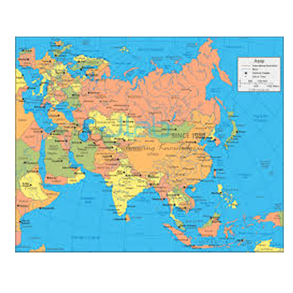
Asia Political Chart (code EL-MC-3298) is a laminated 70 x 100 cm wall chart showing the countries of Asia and their boundaries, used in school social science and geography to teach the political map of the continent and India’s position within it. It is printed in English only or in Hindi only, one language per chart. Jain Laboratory Instruments Pvt Ltd (JLab) makes it at its works in Ambala, India.
Specifications
| Parameter | Detail |
|---|---|
| Subject | Political map of Asia |
| Finish | Laminated |
| Size | 70 x 100 cm |
| Language | English-only or Hindi-only edition |
| Quality check | Each chart is visually inspected before dispatch |
| Pack quantity | Each (sold individually) |
| Minimum order quantity | 10 units |
| Dispatch time | Usually 7–10 working days |
| Product code | EL-MC-3298 |
| Manufacturer | Jain Laboratory Instruments Pvt Ltd (JLab) — OEM |
| Country of origin | India (made in Ambala, Haryana) |
What Is the Asia Political Chart Used For?
For Indian classrooms, Asia is the continent pupils study most closely. In class 9 geography, lessons on India’s size and location start from India’s place in Asia and its neighbours, and a wall chart of Asia makes that discussion visual. Teachers also use it to divide the continent into South, South-East, East, Central and West Asia; to locate the SAARC members — Afghanistan, Bangladesh, Bhutan, India, the Maldives, Nepal, Pakistan and Sri Lanka; and to compare landlocked countries such as Nepal, Bhutan, Mongolia and Laos with island nations such as Japan, Sri Lanka, Indonesia and the Philippines.
The laminated face can be wiped down with a lightly damp cloth. When the chart comes off the wall, store it flat or rolled, never folded.
What to Specify When Ordering
- Language — English-only or Hindi-only print.
- Quantity — a minimum of 10 units.
- Display fittings — the listing does not mention rollers or eyelets; confirm the hanging arrangement with JLab.
- Related charts — the India and Sri Lanka charts and the other continent charts can be quoted together.
Frequently Asked Questions
How big is the Asia Political Chart?
It is 70 x 100 cm and laminated, sized to hang on a classroom wall alongside the other continent charts in the range.
Can I get the chart in Hindi?
Yes — there is a Hindi-only edition as well as an English-only edition. State which one you need; the listing does not offer a bilingual print.
Which details are printed besides country boundaries?
The listing identifies it as a political chart of Asia but does not describe its legend, so capitals, cities or other features cannot be confirmed from it. Request a current image of the chart from JLab before ordering if you need specific details.
Who is the manufacturer?
Jain Laboratory Instruments Pvt Ltd, known as JLab, manufactures the chart at its Ambala works in Haryana, India.
OEM Manufacturer
JLab is the trading name of Jain Laboratory Instruments Pvt Ltd, a manufacturer in India of school science equipment and teaching charts, incorporated in 2017 and operating from Hargolal Road, Ambala, Haryana. This chart is produced in JLab’s own works instead of being sourced from a trader; schools, colleges, dealers and importers therefore buy direct from the maker, every chart is visually inspected before it ships, and repeat supplies come from the same works. JLab exports worldwide and has customers in every region — Japan in East Asia, Yemen in the Middle East, Mexico in North America, Moldova in Eastern Europe and Kazakhstan in Central Asia, for example. For tenders, see the JLab lab tenders page.
Charts and Globes to Use Alongside
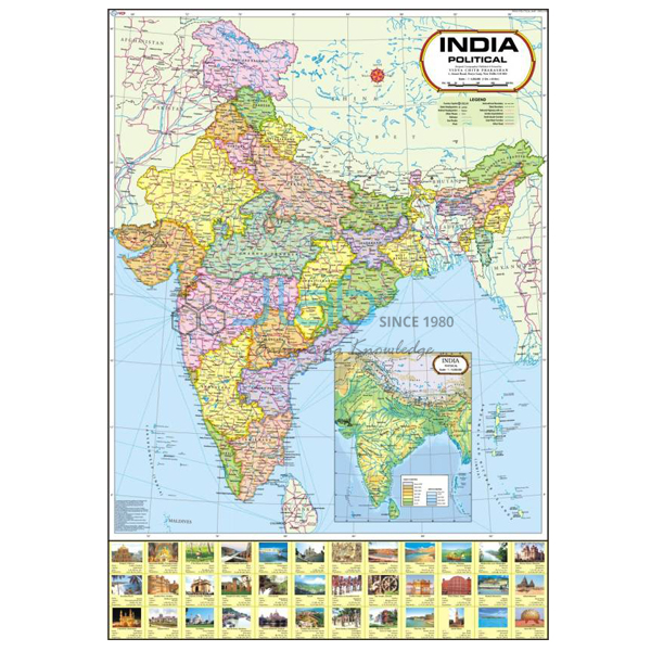
- India Chart — a closer look at India, laminated, 70 x 100 cm, English or Hindi.
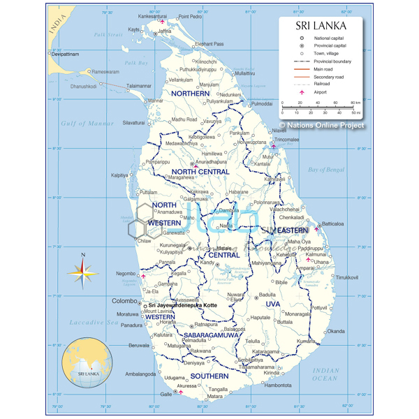
- Sri Lanka Chart — one of India’s island neighbours, in the same format.
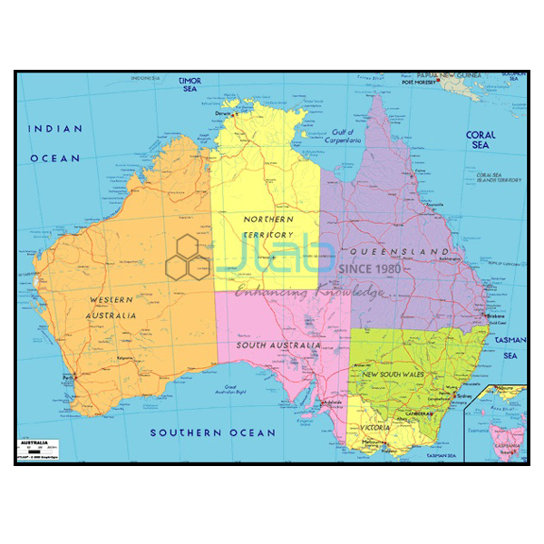
- Australia Political Chart — the continent to the south-east, same size and finish.
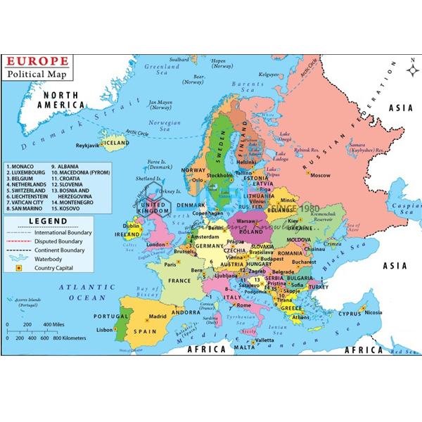
- Europe Political Chart — Asia’s western neighbour on the same landmass.
- Political Globe — shows the political boundaries of the countries of the world.
Find more in the Maps Charts range and the complete Charts section.
Request a Quote
Quotes come direct from the manufacturer. Use Add To Cart on this page, or send the quantity (minimum 10 units), the English or Hindi edition and your delivery location through the contact page.
Last updated: 3 October 2026