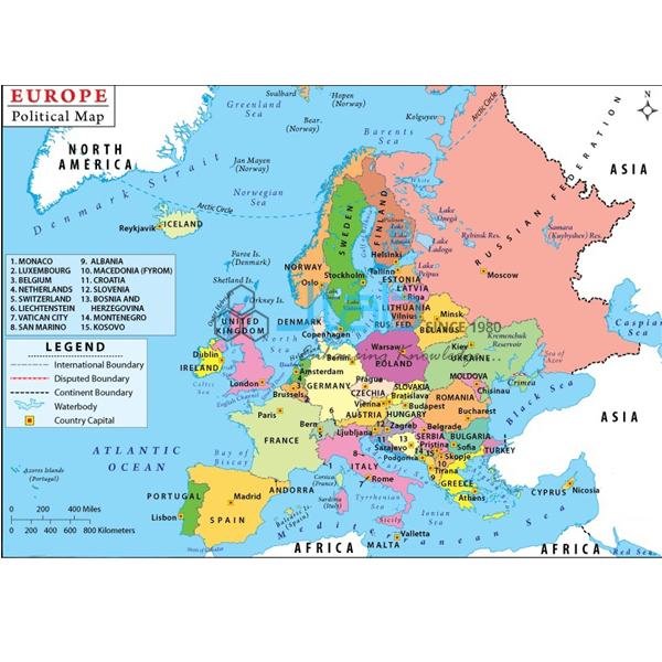
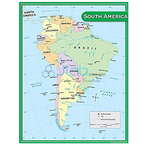
Political Chart Manufacturer,Supplier and Exporter in India
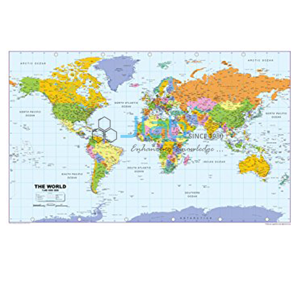
Product Code : EL-MC-3296
Jlab Export is a leading Political Chart Manufacturer,and suppliers in India
Political Chart (code EL-MC-3296) is a laminated 70 x 100 cm political map chart for classroom geography and social science, where it is used to teach how an area is divided into countries or states and where their boundaries run. It is made in two single-language editions, English only and Hindi only. Jain Laboratory Instruments Pvt Ltd (JLab) makes it at its works in Ambala, India.
Specifications
| Parameter | Detail |
|---|---|
| Map type | Political map chart |
| Area covered | Not named in the listing — confirm the region with JLab when you enquire |
| Finish | Laminated |
| Size | 70 x 100 cm |
| Language | English-only edition or Hindi-only edition |
| Quality check | Each chart is visually inspected before dispatch |
| Pack quantity | Each (sold individually) |
| Minimum order quantity | 10 units |
| Dispatch time | Usually 7–10 working days |
| Product code | EL-MC-3296 |
| Manufacturer | Jain Laboratory Instruments Pvt Ltd (JLab) — OEM |
| Country of origin | India (made in Ambala, Haryana) |
What Is the Political Chart Used For?
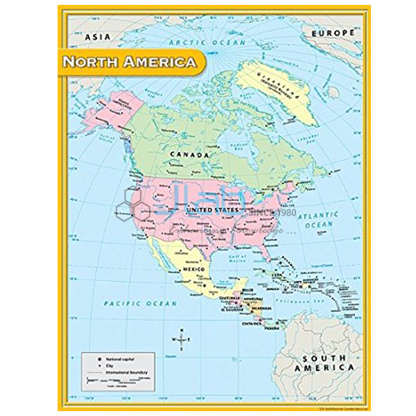
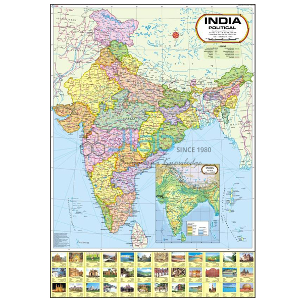
A political map shows countries or states and the lines between them, while a physical map shows mountains, plateaus, plains and water. On the classroom wall, a political chart is the reference for location exercises: finding a named country, listing the neighbours that share its border, telling coastal countries from landlocked ones, and checking answers for outline-map practice in social science. Placed beside a physical map of the same area, it lets pupils see how rivers and mountain ranges often form boundaries.
The laminated surface can be dusted or wiped with a slightly damp cloth. Keep the chart unfolded when it is not on display, as creases in the laminate are permanent.
What to Specify When Ordering
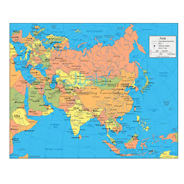
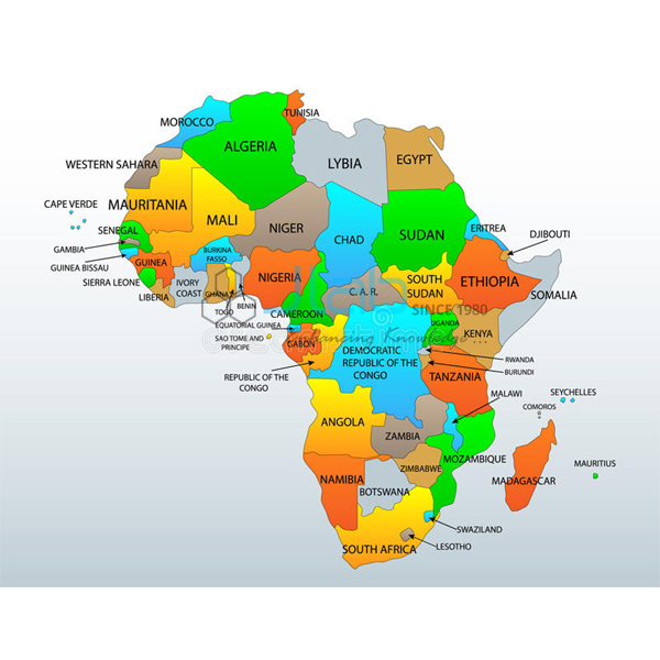
- Region — confirm the area you want covered; JLab also lists separate political charts of Africa, Asia, Australia and Europe.
- Language — the English-only or the Hindi-only edition.
- Quantity — at least 10 units per order.
- How it will hang — rollers or eyelets are not mentioned in the listing, so ask what is supplied.
Frequently Asked Questions
Which region does the Political Chart cover?
The listing does not name it. Ask JLab to confirm the area and send a current image of the chart before you order; if you need a particular continent, the Africa, Asia, Australia and Europe political charts are listed separately.
How is a political chart different from a physical chart?
A political chart shows countries or states and their boundaries; a physical chart shows the shape of the land, such as mountains and plains, together with rivers and seas. JLab makes a World Physical Chart in the same laminated 70 x 100 cm size for the physical side of the lesson.
Which languages is it printed in?
English or Hindi, one language per chart. Mention the edition in your enquiry; a bilingual version is not part of this listing.
Who makes the Political Chart?
JLab — Jain Laboratory Instruments Pvt Ltd — manufactures it in Ambala, Haryana, India.
OEM Manufacturer
JLab is the trading name of Jain Laboratory Instruments Pvt Ltd, an Indian manufacturer of educational laboratory equipment and wall charts, incorporated in 2017 and located on Hargolal Road, Ambala, Haryana. This chart is produced at the company’s own works, not bought in from a trader, which means schools, colleges, dealers and importers deal with the maker directly, every chart is inspected before it is packed, and reorders come from the same source. The company is registered for GST under GSTIN 06AADCJ9848D1ZE and holds Legal Entity Identifier 549300DTGS77DGYD6N03. JLab exports worldwide and serves buyers across every region — Uganda in East Africa, Barbados in Central America and the Caribbean, Japan in East Asia, South Africa in Southern Africa and the Maldives in South Asia among them. Schools buying through a tender can start at the JLab lab tenders page.
Related Maps and Globes
- World Physical Chart — the physical counterpart, laminated, 70 x 100 cm, in English or Hindi.
- Africa Political Chart — a continent-level political chart in the same format.
- Europe Political Chart — another continent in the same laminated size.
- Map Of World Political — a giant-size laminated political map of the world in English, fitted with plastic rollers.
- Political Globe — shows the political boundaries of the world’s countries on a globe.
Browse the whole Maps Charts range or all Charts.
Request a Quote
Quotes come direct from the manufacturer. Click Add To Cart on this page, or use the contact page to send the quantity (minimum 10 units), the region and language edition you need, and the delivery address or port.
Last updated: 3 October 2026