South America Chart Manufacturer,Supplier and Exporter in India
Product Code : EL-MC-3302
Jlab Export is a leading South America Chart Manufacturer,and suppliers in India
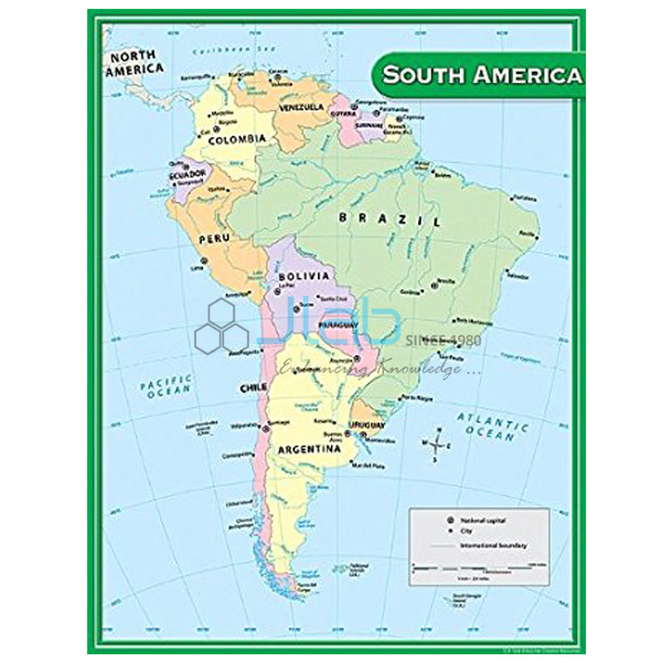
South America Chart (code EL-MC-3302) is a 70 x 100 cm laminated wall map of South America for geography and social science classrooms, where it supports lessons on the continent’s countries, landforms and environments. It is supplied in either an English-only or a Hindi-only edition. JLab (Jain Laboratory Instruments Pvt Ltd, Ambala, India) supplies it to schools, colleges and dealers.
Specifications
| Parameter | Detail |
|---|---|
| Continent | South America |
| Size | 70 x 100 cm |
| Finish | Laminated |
| Language editions | English only; Hindi only |
| Quality check | Each chart is visually inspected before dispatch |
| Pack quantity | Each (sold individually) |
| Minimum order quantity | 10 units |
| Dispatch time | Usually 7–10 working days |
| Product code | EL-MC-3302 |
| Supplied by | Jain Laboratory Instruments Pvt Ltd (JLab), Ambala, India |
What Is the South America Chart Used For?
South America lies mostly in the Southern Hemisphere, with the Equator crossing its northern part. Its geography is easy to teach from a wall map: the Andes run along the whole western edge, the Amazon river and its rainforest basin fill much of the north and centre, Brazil covers a large share of the continent, and the Atacama desert and Patagonia show how dry and cold the south-west and far south can be. In Indian schools the continent comes up in the class 7 geography chapter on life in the Amazon basin and in later continent studies; colleges use such maps in geography rooms for regional reference. The laminated finish protects the chart from frequent handling.
What to Specify When Ordering
- Language — English-only or Hindi-only edition, with quantities.
- Order size — at least 10 charts.
- Map style — ask for an image of the print, as the listing does not say whether it is a political or physical map.
Frequently Asked Questions
What are the dimensions of the South America Chart?
70 x 100 cm, laminated.
Is it political or physical?
The listing does not state the map type. JLab can send an image of the current print so you can check it.
Which language editions are there?
An English-only edition and a Hindi-only edition. A combined English-and-Hindi version is not listed.
What should be included in an export enquiry?
The quantity per edition, destination country and port or city, delivery terms such as FOB or CIF, any packing or labelling needs and a tender reference if applicable.
Who supplies the South America Chart?
JLab — Jain Laboratory Instruments Pvt Ltd, Ambala, Haryana, India — supplies it and quotes directly.
Supplier
Behind the JLab name is Jain Laboratory Instruments Pvt Ltd, incorporated in 2017 and based on Hargolal Road, Ambala, Haryana. The company supplies maps and educational charts like this one together with the laboratory and teaching equipment it produces, so schools and dealers can order a whole geography room and science lab in one go, and it inspects each chart visually before packing. JLab ships worldwide to buyers in every region — including Ukraine in Eastern Europe, Cyprus in Southern Europe, Luxembourg in Western Europe, Lithuania in Northern Europe and Sudan in North Africa. Tender information is on the JLab lab tenders page.
Maps and Globes to Use With It
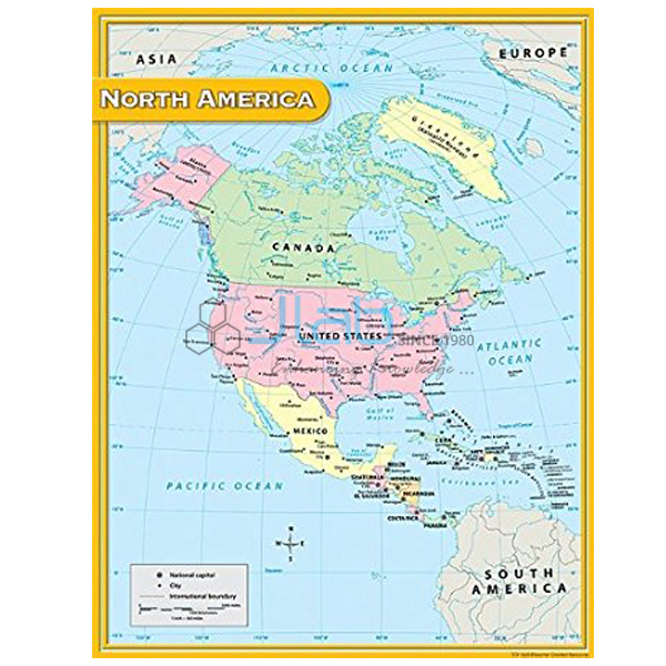
- North America Chart — the other continent of the Americas, in the same size and finish.
- Africa Political Chart — Africa’s countries and boundaries, another Southern Hemisphere continent.
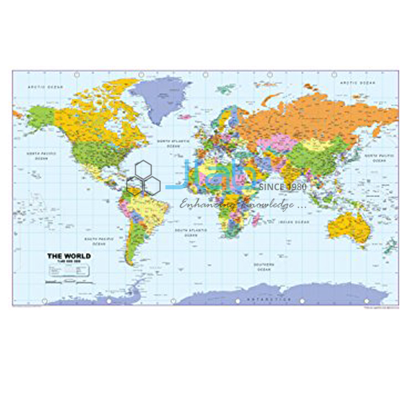
- World Physical Chart — continents, oceans and landforms on one map.
- Physical Globe — the Earth’s physical features on a globe.
- Political Globe — the world’s political boundaries on a globe.
Browse Maps Charts or the complete Charts range.
Request a Quote
Quotations come straight from JLab: use Add To Cart on this page, or send the quantity (minimum 10 units), the language edition and the delivery address through the contact page.
Last updated: 4 October 2026