North America Chart Manufacturer,Supplier and Exporter in India
Product Code : EL-MC-3301
Jlab Export is a leading North America Chart Manufacturer,and suppliers in India
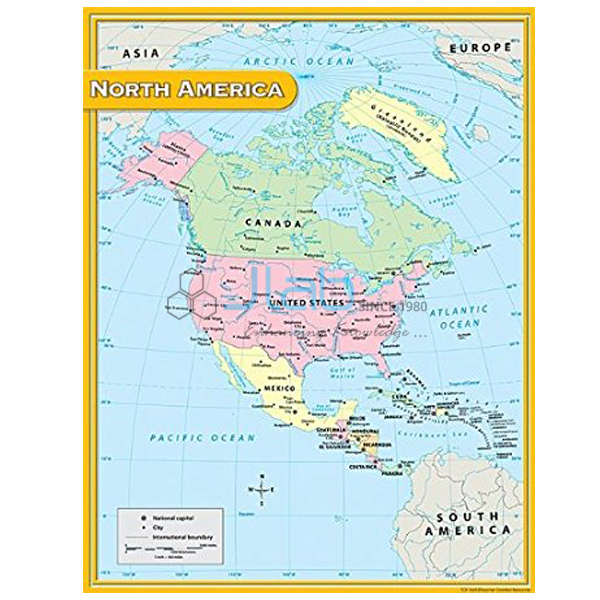
North America Chart (code EL-MC-3301) is a laminated wall map of the North American continent, 70 x 100 cm, used in school geography and social science for continent studies and in college geography rooms as a reference map. It is offered as an English-only edition and as a Hindi-only edition. JLab (Jain Laboratory Instruments Pvt Ltd, Ambala, India) supplies it to schools, colleges and dealers.
Specifications
| Parameter | Detail |
|---|---|
| Region mapped | North America |
| Dimensions | 70 x 100 cm |
| Finish | Laminated |
| Language | English-only edition or Hindi-only edition |
| Quality check | Each chart is visually inspected before dispatch |
| Pack quantity | Each (sold individually) |
| Minimum order quantity | 10 units |
| Dispatch time | Usually 7–10 working days |
| Product code | EL-MC-3301 |
| Supplied by | Jain Laboratory Instruments Pvt Ltd (JLab), Ambala, India |
What Is the North America Chart Used For?
North America stretches from the Arctic islands of Canada to the tropics of Central America and the Caribbean, with Canada, the United States and Mexico making up most of its area. Lessons on the continent usually cover its position in the Northern and Western Hemispheres, the western mountain ranges such as the Rockies, the Great Lakes and the Mississippi basin, and the way climate and vegetation change from north to south. A 70 x 100 cm chart is large enough to be read from the back of a classroom, so the teacher can trace these features while pupils follow in their atlases. Its laminated face resists wear and wipes clean.
What to Specify When Ordering
- Edition — English only or Hindi only, with the number of each.
- Quantity — minimum 10 charts.
- Print check — the listing does not say whether the map is political or physical, so ask for an image of the current print.
Frequently Asked Questions
What size is the North America Chart?
It is 70 x 100 cm and laminated.
Does it show countries or physical relief?
The listing does not say. Request an image of the current print to see whether the map is political or physical and how much detail it carries.
Can I get it in Hindi?
Yes. It comes in a Hindi-only edition as well as an English-only edition; there is no bilingual print in this listing.
What should an export quotation request contain?
The quantity per edition, the destination country and port or city, delivery terms such as FOB or CIF, any labelling or packing requests and the tender reference if relevant.
Who supplies the North America Chart?
JLab (Jain Laboratory Instruments Pvt Ltd), Ambala, Haryana, India, supplies the chart and sends quotations directly.
Supplier
JLab is the trading name of Jain Laboratory Instruments Pvt Ltd, a company incorporated in 2017 and based on Hargolal Road, Ambala, Haryana. It resells wall maps and charts like this one as part of the wider range of teaching and laboratory equipment it produces, which lets schools and dealers buy maps and lab supplies together; each chart is inspected visually before dispatch. JLab exports worldwide and serves buyers in every region, such as Moldova in Eastern Europe, Nigeria in West Africa, Namibia in Southern Africa, the Maldives in South Asia and El Salvador in Central America and the Caribbean. Tender information is available on the JLab lab tenders page.
Related Continent Maps
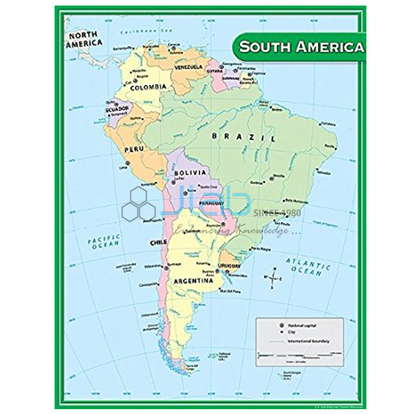
- South America Chart — the neighbouring continent, for comparing the Americas.
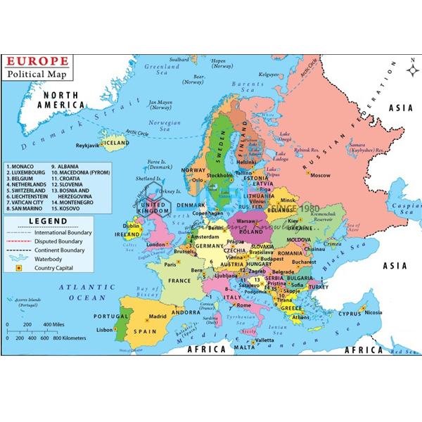
- Europe Political Chart — the countries of Europe and their borders.
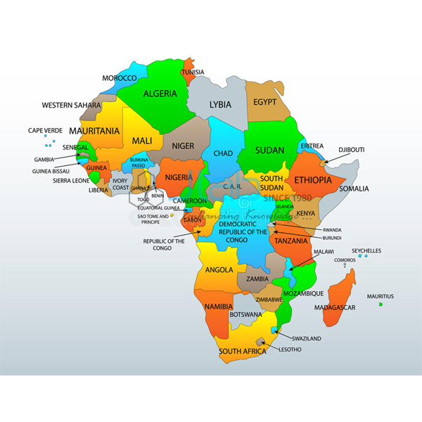
- Africa Political Chart — Africa’s countries and boundaries.
- World Physical Chart — the continents, oceans and major landforms of the Earth.
- Physical Globe — a globe of the Earth’s physical features.
More maps are listed in Maps Charts, part of the Charts range.
Request a Quote
JLab quotes directly. Click Add To Cart on this page, or send the number of charts (minimum 10 units), the edition and your delivery location via the contact page.
Last updated: 4 October 2026