
Australia Political Chart Manufacturer,Supplier and Exporter in India
Product Code : EL-MC-3299
Jlab Export is a leading Australia Political Chart Manufacturer,and suppliers in India
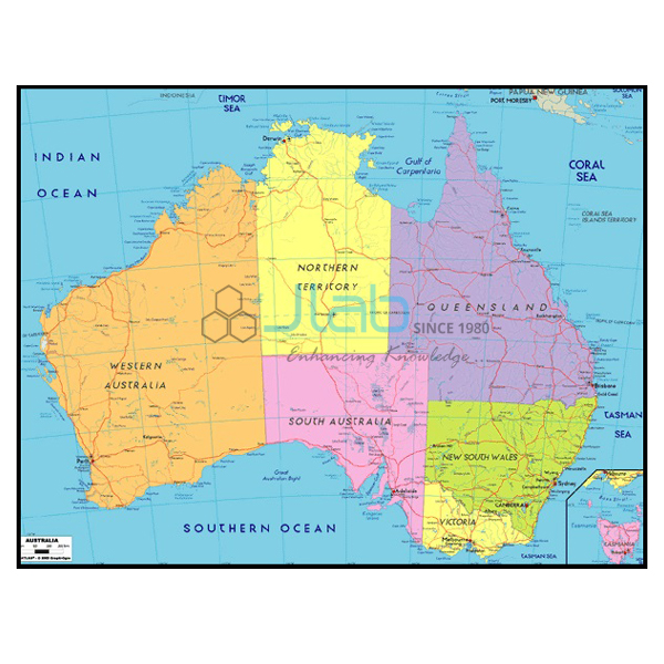
Australia Political Chart (code EL-MC-3299) is a political wall map of Australia, 70 x 100 cm and laminated, used in school geography and social science when classes study the country-continent and its internal boundaries. Schools can order it in an English-only edition or a Hindi-only edition. JLab (Jain Laboratory Instruments Pvt Ltd, Ambala, India) supplies it to schools, colleges and dealers.
Get a quote: use the Add To Cart enquiry button below, or send your quantity and destination through the contact page.
Specifications
| Parameter | Detail |
|---|---|
| Map type | Political map of Australia |
| Chart size | 70 x 100 cm |
| Surface | Laminated |
| Editions | English only; Hindi only |
| Quality check | Each chart is visually inspected before dispatch |
| Pack quantity | Each (sold individually) |
| Minimum order quantity | 10 units |
| Dispatch time | Usually 7–10 working days |
| Product code | EL-MC-3299 |
| Supplied by | Jain Laboratory Instruments Pvt Ltd (JLab), Ambala, India |
What Is the Australia Political Chart Used For?
A political map shows boundaries and places rather than relief. Australia is unusual in being a single country that is also a continent, so its political map is about the division of the country into states and territories, each with its own capital, and about the national capital and major coastal cities. Teachers use the chart for continent studies in middle and secondary school geography, for lessons on the Southern Hemisphere and Oceania, and alongside a physical map or globe when comparing where people live with the dry interior. Hung in a geography lab or classroom, the laminated chart can be wiped clean and reused year after year.
What to Specify When Ordering
- Edition — English only or Hindi only, and how many of each.
- Quantity — the minimum order is 10 charts.
- Map detail — ask for an image of the current print if you need to confirm labels or scale.
Frequently Asked Questions
How big is the Australia Political Chart?
70 x 100 cm, with a laminated finish.
Which languages are available?
Two separate editions: English only and Hindi only. A combined bilingual print is not listed.
What exactly does the map show?
It is a political map of Australia; the listing does not itemise the labels, so request an image of the print if your lesson depends on particular details.
What are the minimum order and lead time?
At least 10 units, sold individually, usually dispatched within 7–10 working days after a visual check. Export shipping time is added according to the route.
What does JLab need for an export quotation?
The quantity per edition, the destination country and port or city, delivery terms such as FOB or CIF, any labelling instructions and a tender reference where applicable.
Who supplies this chart?
JLab, the trading name of Jain Laboratory Instruments Pvt Ltd in Ambala, Haryana, India, supplies it and quotes directly.
Supplier
Jain Laboratory Instruments Pvt Ltd, known as JLab, was incorporated in 2017 and operates from Hargolal Road, Ambala, Haryana. It supplies printed maps and wall charts such as this one together with the science and teaching equipment it produces, so a school can fit out its geography room and laboratories on one order, and each chart is checked by eye before it is packed. JLab exports to every region of the world, with buyers for example in Hong Kong in East Asia, the Netherlands in Western Europe, Papua New Guinea in Oceania, Guatemala in Central America and the Caribbean and Lithuania in Northern Europe. Tenders are covered on the JLab lab tenders page.
Continent Maps and Globes
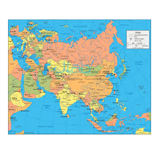
- Asia Political Chart — the countries of Asia and their boundaries.
- Africa Political Chart — Africa’s countries and the borders between them.
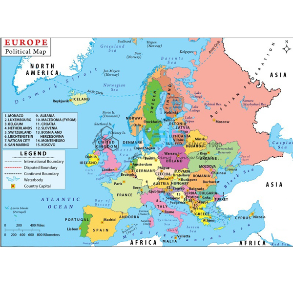
- Europe Political Chart — the countries of Europe and their borders.
- World Physical Chart — continents, oceans and major landforms, for comparing relief with the political map.
- Political Globe — political boundaries of the world’s countries on a globe.
See every title in Maps Charts or the wider Charts range.
Request a Quote
For a quotation from JLab, use Add To Cart on this page or the contact page, giving the quantity (minimum 10 units), the edition and the delivery address.
Last updated: 4 October 2026