Plateau Model Manufacturer,Supplier and Exporter in India

Product Code : EL-ERAM-4407
Jlab Export is a leading Plateau Model Manufacturer,and suppliers in India
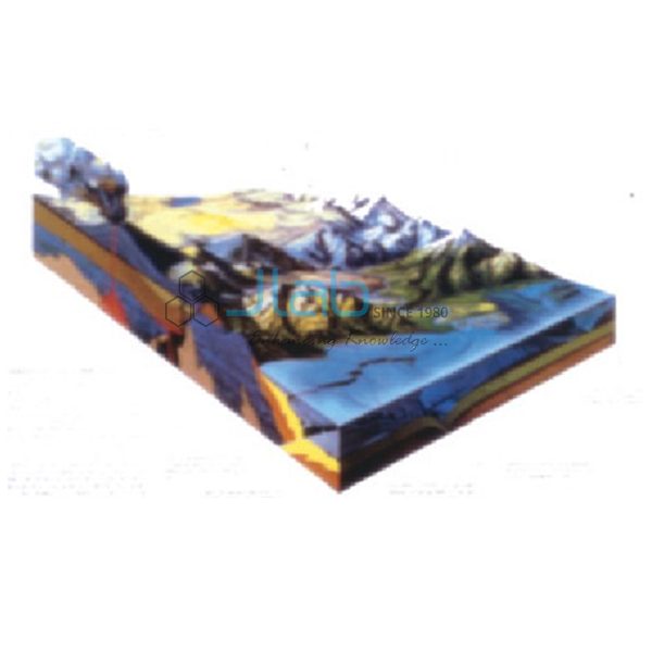
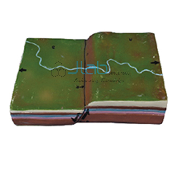
Plateau Model (code EL-ERAM-4407) is a landform teaching model of a plateau — an area of highland, usually made up of relatively flat terrain. It helps students grasp the two things that define a plateau: low relative relief and some altitude. The model is used in school and college geography rooms and is made by Jain Laboratory Instruments Pvt Ltd (JLab) at its works in Ambala, India.
Specifications
| Parameter | Detail |
|---|---|
| Landform | Plateau — an area of highland, usually relatively flat terrain |
| Defining criteria | Low relative relief and some altitude |
| Quality check | Each model is visually inspected before dispatch |
| Pack quantity | Each (sold individually) |
| Minimum order quantity | 10 units |
| Dispatch time | Usually 7–10 working days |
| Product code | EL-ERAM-4407 |
| Manufacturer | Jain Laboratory Instruments Pvt Ltd (JLab) — OEM |
| Country of origin | India (made in Ambala, Haryana) |
What Is the Plateau Model Used For?
Plateaus, mountains and plains are the three major landforms introduced in the class 6 geography chapter on the Earth’s landforms, and students often confuse the first two. Relative relief — the difference between the highest and lowest points in an area — is the key: a mountain has height and a large relief, a plain is low and nearly level, while a plateau combines altitude with a fairly flat top. Plateaus are often called tablelands, and many end in one or more steep edges. They form where flat-lying rock is uplifted or where layer upon layer of lava builds up, as in the basalt Deccan Plateau of India. The Tibetan Plateau is a very high example, and the Chota Nagpur Plateau is known for its iron, coal and manganese.
A physical model lets a class compare these ideas side by side with mountain and valley models, which is why it sits well in a geography lab equipment set for middle and senior school.
Frequently Asked Questions
What makes a landform a plateau rather than a mountain?
Low relative relief. Both stand high, but a plateau’s surface is relatively flat, whereas a mountain rises steeply to a peak with a large difference in height across a small area.
Which other landform models go well with it?
A fold mountain model and a valley model, so students can compare altitude and relief across three landforms; all can go on one enquiry.
OEM Manufacturer
JLab is the trading name of Jain Laboratory Instruments Pvt Ltd, a maker of geography models and educational laboratory equipment, incorporated in 2017 and operating from Hargolal Road, Ambala, Haryana. Its landform models come from its own works, not from traders, so schools, dealers and importers buy at source and each piece is inspected by eye before it leaves. JLab exports worldwide and ships to buyers in every region — for example Canada in North America, Switzerland in Western Europe, Ghana in West Africa, Colombia in South America and Kuwait in the Middle East.
Other Landform Models
- Fold Mountain Model — mountains raised by uplift and folding of crustal layers.
- Valley Model — an elongated lowland between uplands, often with a river.
- A Mountainous Pass Model — a natural route through a mountain range or over a ridge.
- Geographical Terms 3D Model — a wall model of landscape features behind common geographical terms.
- Landforms Model For Earth Science Lab — a set of models covering glaciers, coastlines, canyons, deserts, lakes and mountains.
Browse Educational Rock and Minerals or Rocks and Minerals.
Request a Quote
Get your quotation from the manufacturer: press Add To Cart, or send the quantity (minimum 10 units) and destination through the contact page.
Last updated: 9 October 2026