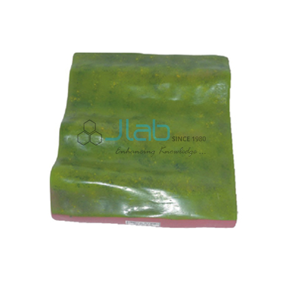

A Mountainous Pass Model Manufacturer,Supplier and Exporter in India
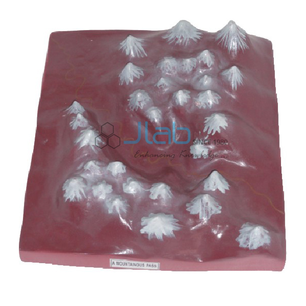
Product Code : EL-ERAM-4421
Jlab Export is a leading A Mountainous Pass Model Manufacturer,and suppliers in India
A Mountainous Pass Model (code EL-ERAM-4421) is a geography teaching model of a mountain pass — a natural route through a mountain range or over a ridge. It shows students why a pass is at once the highest point between two valleys and the lowest point along a ridge, the idea behind most mountain roads and trade routes. Jain Laboratory Instruments Pvt Ltd (JLab) makes it at its works in Ambala, India.
Specifications
| Parameter | Detail |
|---|---|
| Landform | Mountain pass — a natural route through a mountain range or over a ridge |
| Position | The highest point between two valleys and the lowest point along a ridge |
| Quality check | Each model is visually inspected before dispatch |
| Pack quantity | Each (sold individually) |
| Minimum order quantity | 10 units |
| Dispatch time | Usually 7–10 working days |
| Product code | EL-ERAM-4421 |
| Manufacturer | Jain Laboratory Instruments Pvt Ltd (JLab) — OEM |
| Country of origin | India (made in Ambala, Haryana) |
What Is the Mountain Pass Model Used For?
A pass usually lies at a col or saddle, the dip in a ridge between two peaks. Travellers crossing a range climb out of one valley, cross the ridge at this lowest point and descend into the next valley, so passes have carried trade, armies and today’s roads for centuries. In the Himalaya many passes carry the Tibetan word la, meaning pass — Zoji La and Nathu La are two — while the Khyber Pass between Pakistan and Afghanistan is among the most famous routes in history.
The model helps students connect the landform with map reading: on a contour map, a saddle appears as a low gap between the closed contours of two hilltops. It fits school lessons on physical features and on India’s mountain frontiers, and map-work practicals in college geography.
Frequently Asked Questions
What is a mountain pass?
A natural route through a mountain range or over a ridge — the highest point between two valleys and the lowest point along the ridge.
Why are passes important?
They are the easiest crossing points of a range, so roads, trade routes and borders often follow them.
What size is the model?
The listing does not give the size or material; JLab confirms them when it quotes.
Who manufactures it?
JLab — Jain Laboratory Instruments Pvt Ltd — at its works in Ambala, Haryana.
OEM Manufacturer
JLab is the trading name of Jain Laboratory Instruments Pvt Ltd, a manufacturer in India of educational lab equipment that includes relief and landform models, incorporated in 2017 and based on Hargolal Road, Ambala, Haryana. Production takes place in its own works rather than through traders, so schools, colleges, dealers and importers get the model straight from the factory. JLab exports worldwide and ships to buyers in every region — for example South Africa in Southern Africa, Rwanda in East Africa, Vanuatu in Oceania, Serbia in Southern Europe and Kazakhstan in Central Asia.
Related Mountain Landform Models
- Valley Model — the lowlands that a pass connects.
- Gorge and A Mountain Model — a deep ravine between cliffs, often cut by a river.
- Fold Mountain Model — how mountain ranges rise through uplift and folding.
- Geographical Terms 3D Model — many landscape features and their terms in one wall model.
Browse Educational Rock and Minerals or the wider Rocks and Minerals section.
Request a Quote
Ask the manufacturer for a quote with the Add To Cart button, or send your quantity (minimum 10 units) and destination through the contact page.
Last updated: 9 October 2026