
Andhra Pradesh Political Chart Manufacturer,Supplier and Exporter in India
Product Code : EL-SMP-3307
Jlab Export is a leading Andhra Pradesh Political Chart Manufacturer,and suppliers in India
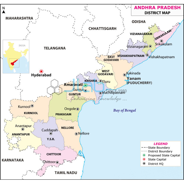
Andhra Pradesh Political Chart (code EL-SMP-3307) is a political wall map of Andhra Pradesh, 70 x 100 cm, listed as showing the state’s latest boundaries with its capital cities and important towns, for social studies and geography teaching. The multicolour print on 80 gsm map litho paper is sealed in hot-seal polyester film on both sides, with plastic rollers at top and bottom, and the text is in English. It is made by Jain Laboratory Instruments Pvt Ltd (JLab) at its works in Ambala, India.
Specifications
| Parameter | Detail |
|---|---|
| Map | Andhra Pradesh, political |
| Content | Latest boundaries; capital cities and important towns; political features |
| Dimensions | 70 x 100 cm |
| Paper and printing | 80 gsm map litho paper, multicolour print |
| Protection | Laminated with hot-seal polyester film on both sides |
| Hanging | Plastic rollers fitted at top and bottom |
| Language | English |
| Quality check | Each chart is visually inspected before dispatch |
| Pack quantity | Each (sold individually) |
| Minimum order quantity | 10 units |
| Dispatch time | Usually 7–10 working days |
| Product code | EL-SMP-3307 |
| Manufacturer | Jain Laboratory Instruments Pvt Ltd (JLab) — OEM |
| Country of origin | India (made in Ambala, Haryana) |
What Is the Andhra Pradesh Political Map Used For?
Andhra Pradesh’s political map has changed more than most. After Telangana was separated from it, Hyderabad became part of Telangana and Andhra Pradesh began developing Amaravati as its capital, and the state has since reorganised its districts. A current wall map lets students see the state as it is today: the long coastline on the Bay of Bengal, the neighbouring states of Telangana, Chhattisgarh, Odisha, Karnataka and Tamil Nadu, and important towns such as Visakhapatnam, Vijayawada, Guntur, Nellore, Tirupati, Kurnool and Kakinada. These are lesson examples; the listing does not itemise the towns or district lines printed, so ask JLab which edition is supplied if your syllabus depends on the latest district pattern or on how the capital is marked.
In Andhra Pradesh schools the chart serves home-state social studies lessons; in other states and in colleges it is used alongside neighbouring state maps for regional geography of southern India and for map-based quiz and general-knowledge practice. The lamination keeps the paper clean and protects it from handling — wipe it with a damp cloth, use a pointer rather than pins, and store it rolled, not folded.
What to Specify When Ordering
- Quantity — at least 10 charts per order.
- Edition check — ask JLab to confirm how the capital and districts are shown on the current print.
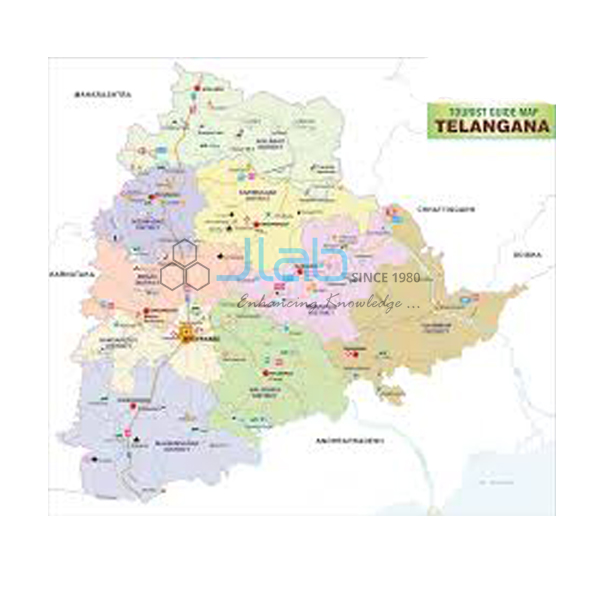
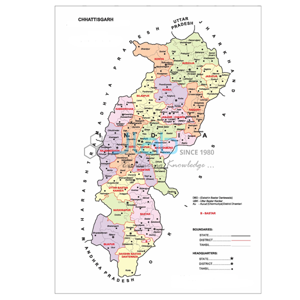
- Neighbouring state maps — Telangana, Karnataka, Tamil Nadu and Chhattisgarh charts can be quoted together.
- Delivery — delivery town or export port, FOB or CIF terms, and any tender number.
Frequently Asked Questions
Does the chart show Andhra Pradesh after Telangana was formed?
The listing describes the map as showing the latest boundaries. Because the state’s capital and districts have changed in recent years, confirm the edition with JLab before ordering if those details matter for your lessons.
What size is the chart and how is it finished?
It measures 70 x 100 cm and is printed in multicolour on 80 gsm map litho paper, laminated on both sides with hot-seal polyester film, with plastic rollers fitted at the top and bottom.
Is a Telugu edition available?
This listing is in English. Telugu is the state’s official language; ask JLab whether a Telugu edition can be supplied when you request a quote.
Can the map be used for physical geography too?
It is a political map, with boundaries, capitals, towns and political features. Rivers such as the Godavari and Krishna or the Eastern Ghats are not listed as part of its content, so check with JLab if you need them.
What should an export enquiry include?
Quantity, destination country and port or city, delivery terms such as FOB or CIF, any packing or labelling requirements, and the tender reference if one applies.
Who makes this Andhra Pradesh map?
JLab (Jain Laboratory Instruments Pvt Ltd) makes it at its Ambala works in Haryana and quotes for it directly.
OEM Manufacturer
The map comes from Jain Laboratory Instruments Pvt Ltd, trading as JLab, an Indian manufacturer of state and world wall maps, teaching charts and school laboratory equipment that was incorporated in 2017 and is based on Hargolal Road, Ambala, Haryana. JLab makes it in its own works instead of buying from traders, so schools, colleges, dealers and importers order straight from the factory; each chart is examined before dispatch and reorders return to the same manufacturer. JLab exports worldwide and has buyers in every region, such as the USA in North America, Ecuador in South America, Denmark in Northern Europe, Tunisia in North Africa and Belgium in Western Europe. For purchases by tender, see the JLab lab tenders page.
Maps of Neighbouring States
- Telangana Political Chart — laminated 70 x 100 cm, in English only or the regional language only.
- Karnataka Political Map Chart — the western neighbour, in the same 70 x 100 cm laminated format.
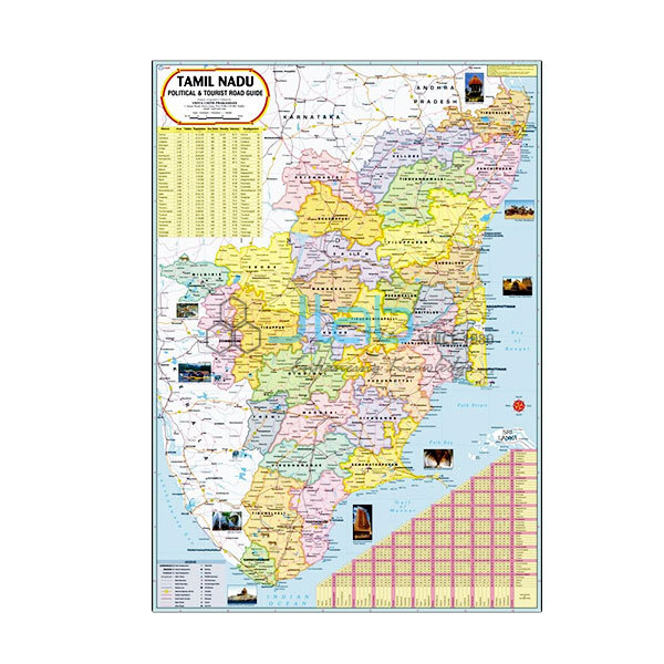
- Tamil Nadu Chart — the southern neighbour, with latest boundaries, capital cities and important towns.
- Chhattisgarh Chart — the northern neighbour, on 80 gsm map litho paper with polyester lamination.
- Political Chart — a laminated 70 x 100 cm political chart in English only or Hindi only.
See all states in State Maps Political or the complete Charts range.
Request a Quote
JLab quotes directly as the maker. Use Add To Cart on this page or the contact page, and include the number of maps (minimum 10 units), any neighbouring state maps, and the delivery location.
Last updated: 3 October 2026