
Delta Model Manufacturer,Supplier and Exporter in India

Product Code : EL-ERAM-4417
Jlab Export is a leading Delta Model Manufacturer,and suppliers in India
Delta Model (code EL-ERAM-4417) is a geography teaching model of a river delta, the landform that forms at the mouth of a river from the sediment the river carries and deposits. Students use it to see how a river ends: not only by emptying into the sea, but by building new land there. JLab (Jain Laboratory Instruments Pvt Ltd) makes the model at its works in Ambala, India.
Specifications
| Parameter | Detail |
|---|---|
| Landform | Delta — formed at the mouth of a river |
| How it forms | Deposition of the sediment carried by the river |
| Quality check | Each model is visually inspected before dispatch |
| Pack quantity | Each (sold individually) |
| Minimum order quantity | 10 units |
| Dispatch time | Usually 7–10 working days |
| Product code | EL-ERAM-4417 |
| Manufacturer | Jain Laboratory Instruments Pvt Ltd (JLab) — OEM |
| Country of origin | India (made in Ambala, Haryana) |
What Is the Delta Model Used For?
When a river reaches the sea or a lake, its current slows and it can no longer carry its load of silt and sand. The sediment settles, the main channel splits into smaller distributaries, and layer by layer new land grows outwards; many deltas take the triangular shape of the Greek letter delta that gave them their name. Delta soils are fertile and often densely farmed.
In Indian school geography the model supports the work of rivers in class 7 and the drainage chapter in class 9, which contrasts the deltas of the east-flowing Mahanadi, Godavari, Krishna and Kaveri — and the Ganga–Brahmaputra delta of the Sundarbans — with the estuaries of the west-flowing Narmada and Tapi.
Frequently Asked Questions
What is a delta?
A landform formed at the mouth of a river from the deposition of the sediment carried by the river.
What is the difference between a delta and an estuary?
A delta builds land outwards from the river mouth through deposition; an estuary is an arm of the sea reaching inland to meet the river mouth, where tides and currents tend to carry sediment away instead.
Is there a photo and size for this model?
Not on this listing yet. Ask JLab for a current photo, the size and the material when you request a quote.
Who manufactures it?
Jain Laboratory Instruments Pvt Ltd (JLab), at its own works in Ambala, Haryana.
OEM Manufacturer
JLab is the trading name of Jain Laboratory Instruments Pvt Ltd, an educational lab equipment manufacturer in India that also makes geography models, incorporated in 2017 and based on Hargolal Road, Ambala, Haryana. Models are made in JLab’s own works rather than bought in, so schools, colleges, dealers and importers order straight from the producer. JLab exports worldwide and ships to buyers in every region — for example Nepal in South Asia, Libya in North Africa, Barbados in Central America and the Caribbean, Ecuador in South America and Kuwait in the Middle East.
Related River and Coast Models
- Estuary Model — the contrasting river ending, where the sea reaches inland to meet the river mouth.
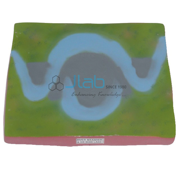
- River Meander and Ox Bow Lake Model — the winding bends and cut-off lakes of a river’s lower course.
- Transporting River System Model — the trunk stream that carries water and sediment downstream.
- Streams (Rivers) Charts — a wall chart of the collecting, transporting and dispersing systems of a river.
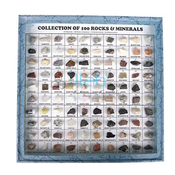
Browse the Educational Rock and Minerals range or the Rocks and Minerals section.
Request a Quote
Quotes come from the manufacturer. Click Add To Cart, or send the quantity (10 units or more) and destination through the contact page.
Last updated: 9 October 2026