
Transporting River System Model Manufacturer,Supplier and Exporter in India
Product Code : EL-ERAM-4401
Jlab Export is a leading Transporting River System Model Manufacturer,and suppliers in India
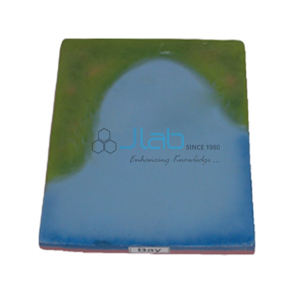
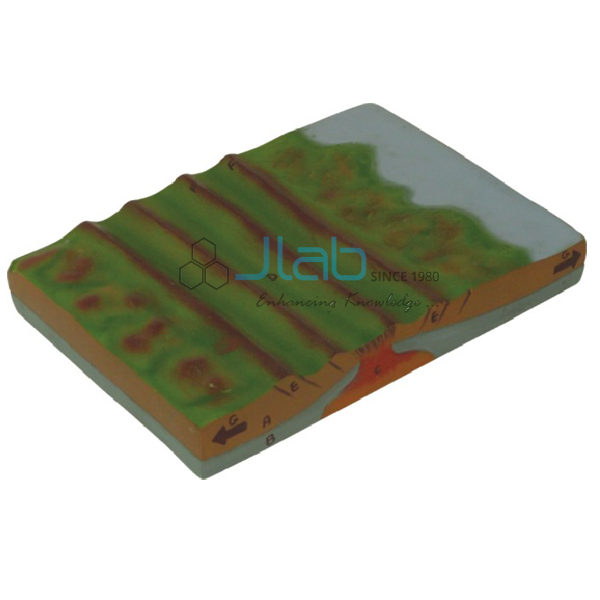
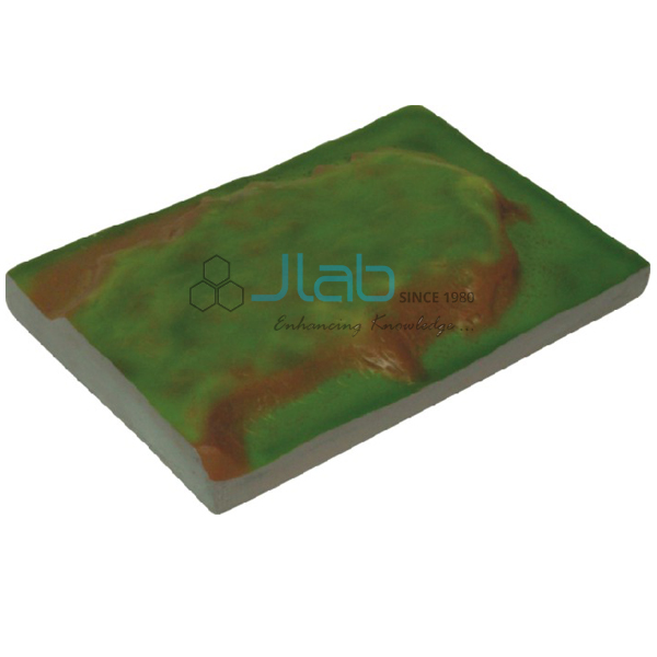
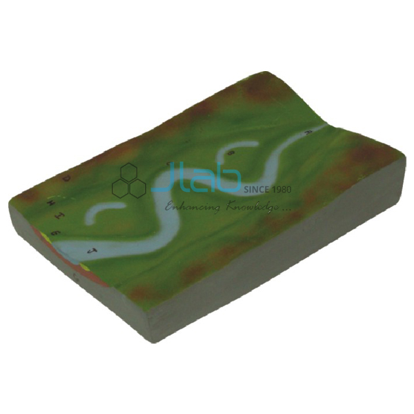
Transporting River System Model (code EL-ERAM-4401) is a geography model of the middle section of a river system: the main trunk stream that moves water and sediment from the collecting system towards the dispersing system. Students use it to study meanders, oxbow lakes and levees, the features associated with this stretch. Jain Laboratory Instruments Pvt Ltd (JLab) makes it at its works in Ambala, India.
Specifications
| Parameter | Detail |
|---|---|
| Topic | Transporting river system — the main trunk stream carrying water and sediment from the collecting system towards the dispersing system |
| Associated features (as listed) | Meanders, oxbow lakes and levees |
| Quality check | Each model is visually inspected before dispatch |
| Pack quantity | Each (sold individually) |
| Minimum order quantity | 10 units |
| Dispatch time | Usually 7–10 working days |
| Product code | EL-ERAM-4401 |
| Manufacturer | Jain Laboratory Instruments Pvt Ltd (JLab) — OEM |
| Country of origin | India (made in Ambala, Haryana) |
What Is the Transporting River System Model Used For?
Once the headwater tributaries have joined, the river’s main job is to carry its load downstream. On gentler slopes the channel swings from side to side: water flows fastest on the outside of each bend and erodes that bank, while sand and silt settle on the inside, so the bends grow into meanders. When the river breaks through the narrow neck of a loop, the abandoned bend is left as an oxbow lake. During floods, the river drops sediment as soon as it spills over its banks, building raised natural levees along the channel.
The model supports lessons on the work of rivers in school geography (for example the CBSE class 7 and class 11 landform chapters) and introductory physical geography in colleges. It is the middle piece of the three-part sequence and pairs naturally with the collecting system model upstream and a delta model at the mouth.
Frequently Asked Questions
What does the transporting system of a river do?
It is the main trunk stream that moves water and sediment from the collecting system in the headwaters towards the dispersing system near the mouth.
Which features are associated with this model?
Meanders, oxbow lakes and levees, according to the listing. If your lesson needs particular features labelled, ask JLab to confirm what the current version shows.
Should I order the collecting river system model as well?
If you teach the whole river course, yes: the collecting model covers the headwater tributaries, V-shaped valleys and waterfalls, and both can go on one enquiry.
What are the order and dispatch terms?
Minimum 10 units, sold individually and usually dispatched within 7–10 working days. Export shipping time is extra and depends on the destination.
OEM Manufacturer
JLab is the trading name of Jain Laboratory Instruments Pvt Ltd, an Ambala-based manufacturer of educational science and geography equipment incorporated in 2017, with premises on Hargolal Road, Ambala, Haryana. This river model comes from JLab’s own works rather than a trading house, so schools, colleges, dealers and importers get factory-direct supply and a single point of contact for repeat orders. JLab exports worldwide and ships to buyers in every region — for example Armenia in Eastern Europe, Kenya in East Africa, Uzbekistan in Central Asia, Guinea in West Africa and South Korea in East Asia.
Related River Models
- Collecting River System Model — the headwater stage upstream of this one.
- River Meander and Ox Bow Lake Model — focuses on how a cut-off meander becomes an oxbow lake.
- Delta Model — where the river deposits its sediment at the mouth.
- River in Action 3D Model — shows the stages of river action in different phases.
More teaching models are in Educational Rock and Minerals and the Rocks and Minerals range.
Request a Quote
Ask the manufacturer directly: click Add To Cart on this page, or send your quantity (at least 10 units) and delivery destination through the contact page.
Last updated: 9 October 2026