Streams (Rivers) Charts Manufacturer,Supplier and Exporter in India
Product Code : EL-CFOTE-3142
Jlab Export is a leading Streams (Rivers) Charts Manufacturer,and suppliers in India
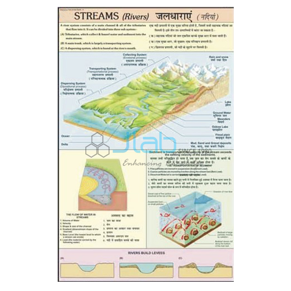
Streams (Rivers) Charts (code EL-CFOTE-3142) is a 50 x 75 cm laminated geography wall chart on how a stream is formed and how it functions, divided into the collecting system, the transporting system and the dispersing system of a river. It suits school and college lessons on drainage and river landforms, and carries English and Hindi together. It is made by Jain Laboratory Instruments Pvt Ltd (JLab) at its works in Ambala, India.
Specifications
| Parameter | Detail |
|---|---|
| Topic | How a stream is formed and functions — collecting system, transporting system and dispersing system |
| Printing | Multicolour on 80 gsm map litho paper |
| Size | 50 x 75 cm |
| Lamination | Hot seal polyester film on both sides |
| Rollers | Plastic rollers fitted at top and bottom |
| Language | English and Hindi combined |
| Quality check | Each chart is visually inspected before dispatch |
| Pack quantity | Each (sold individually) |
| Minimum order quantity | 10 units |
| Dispatch time | Usually 7–10 working days |
| Product code | EL-CFOTE-3142 |
| Manufacturer | Jain Laboratory Instruments Pvt Ltd (JLab) — OEM |
| Country of origin | India (made in Ambala, Haryana) |
What Is the Streams (Rivers) Chart Used For?
Rain, melting snow and springs feed water that runs off the land in small rills and gullies; these join into streams, and the area that drains into one river, bounded by a divide or watershed, is its drainage basin. Geographers describe a river as working in three parts. In the collecting system, many headwater tributaries gather water and sediment from the uplands. The transporting system is the main trunk stream that carries this load downstream. In the dispersing system, near the mouth, the river spreads its water and sediment through distributaries, often building a delta or an alluvial fan. The Ganga is a familiar example: Himalayan tributaries collect, the trunk river carries across the northern plains, and distributaries disperse into the Ganga–Brahmaputra delta.
The chart gives the class a single picture of this whole system for lessons on drainage and the work of rivers in middle and secondary school, and in senior secondary and college physical geography. Its individual diagrams are not listed, so ask JLab for an image if you need to check one before ordering.
What to Specify When Ordering
- Number of charts — minimum order 10 units.
- River models — the collecting and transporting river system models and the delta model, linked below, cover the same three stages in three dimensions.
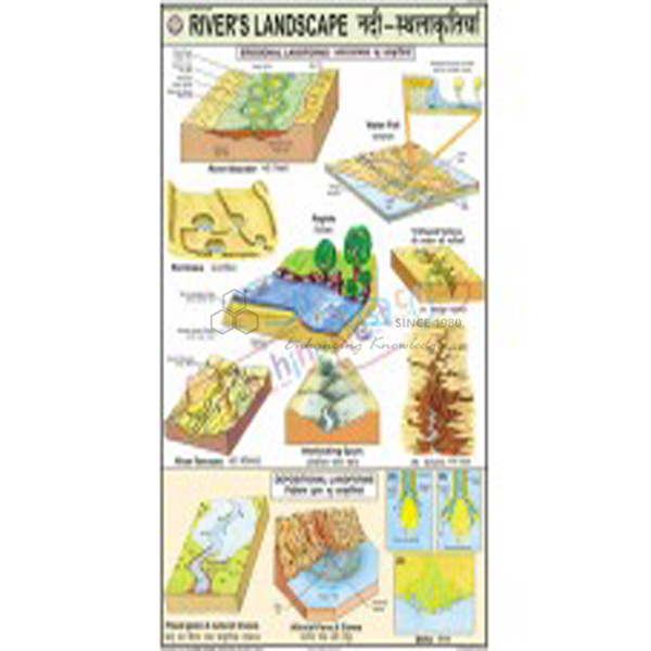
- Other series charts — for example the Rivers Landscape Chart on river erosion and deposition.
- Delivery — destination city and country, and FOB, CIF or other terms for export.
Frequently Asked Questions
What do the collecting, transporting and dispersing systems mean?
They are the three working parts of a river. The collecting system is the network of headwater tributaries, the transporting system is the main stream that carries water and sediment, and the dispersing system is where the river divides and releases its load near the mouth.
How large is the chart and how is it made?
It is 50 x 75 cm, printed in multicolour on 80 gsm map litho paper, laminated on both sides with hot seal polyester film, and fitted with plastic rollers at the top and bottom.
Is this one chart or a set?
It is listed and sold as a single chart, despite the plural in its name. Order 10 units or more.
Which languages are printed on it?
English and Hindi, combined on the same chart.
Are the river models included with the chart?
No. The river system models and the delta model are separate listings and can be quoted with the chart in one enquiry.
Who manufactures the Streams (Rivers) Chart?
Jain Laboratory Instruments Pvt Ltd (JLab) makes it at its works in Ambala, Haryana, India.
OEM Manufacturer
JLab is the trading name of Jain Laboratory Instruments Pvt Ltd, a manufacturer of geography and earth science teaching aids and lab equipment in India, incorporated in 2017 and based on Hargolal Road, Ambala, Haryana. Because the chart is produced in JLab’s own works and not bought from a trader, schools, colleges, dealers and importers buy it from the source; each chart is visually checked before dispatch, and repeat orders are handled by the manufacturer. JLab exports worldwide and ships to buyers in every region, for example Croatia in Southern Europe, Fiji in Oceania, Ireland in Western Europe, Mongolia in East Asia and Sudan in North Africa. For tender supplies, see the JLab lab tenders page.
River System Models and Charts
- Collecting River System Model — the network of headwater tributaries, with V-shaped valleys, interlocking spurs, rapids, waterfalls and gorges.
- Transporting River System Model — the main trunk stream moving water and sediment, with meanders, oxbow lakes and levees.
- Delta Model — the landform built at a river mouth by deposition of sediment.
- River in Action 3D Model — a rigid PVC model showing the stages of river action.
- Rivers Landscape Chart — erosion and depositional landforms made by rivers.
More titles are in the Changing Face of the Earth series and the wider Charts range.
Request a Quote
JLab quotes directly as the manufacturer. Use the Add To Cart enquiry button, or send the number of charts (minimum 10 units), any river models you want with them, and the delivery location through the contact page.
Last updated: 3 October 2026