Glaciers Information Chart Manufacturer,Supplier and Exporter in India
Product Code : EL-CFOTE-3146
Jlab Export is a leading Glaciers Information Chart Manufacturer,and suppliers in India
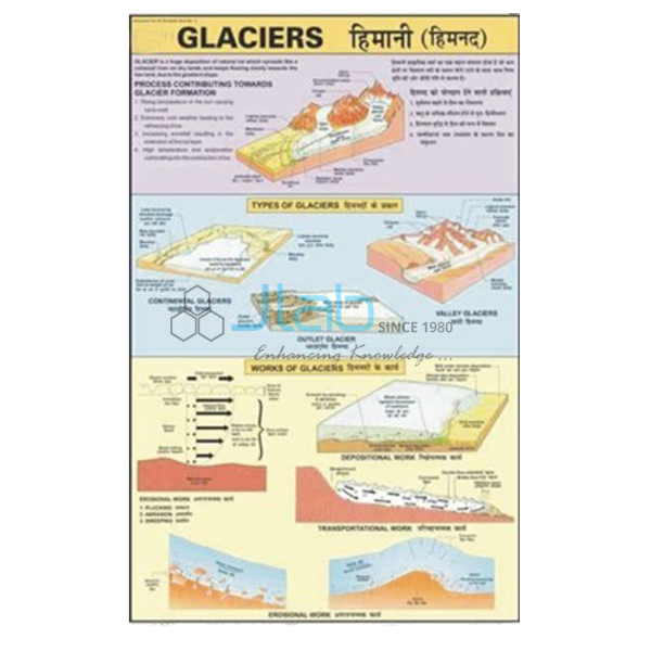
Glaciers Information Chart (code EL-CFOTE-3146) is a geography wall chart that sets out the three kinds of glacier — continental, piedmont and valley glaciers — together with their effects on the land. The 50 x 75 cm sheet is printed in multicolour on 80 gsm map litho paper, laminated on both sides and hung from plastic rollers, with English and Hindi text combined. JLab (Jain Laboratory Instruments Pvt Ltd, Ambala, India) supplies it to schools, colleges and dealers.
Specifications
| Parameter | Detail |
|---|---|
| Content | Continental glacier, piedmont glacier and valley glacier, together with their effects |
| Size | 50 x 75 cm |
| Multicolour on 80 gsm map litho paper | |
| Finish | Laminated with hot-seal polyester film on both sides |
| Rollers | Plastic rollers at top and bottom |
| Language | English and Hindi combined |
| Quality check | Each chart is visually inspected before dispatch |
| Pack quantity | Each (sold individually) |
| Minimum order quantity | 10 units |
| Dispatch time | Usually 7–10 working days |
| Product code | EL-CFOTE-3146 |
| Supplied by | Jain Laboratory Instruments Pvt Ltd (JLab), Ambala, India |
What Is the Glaciers Information Chart Used For?
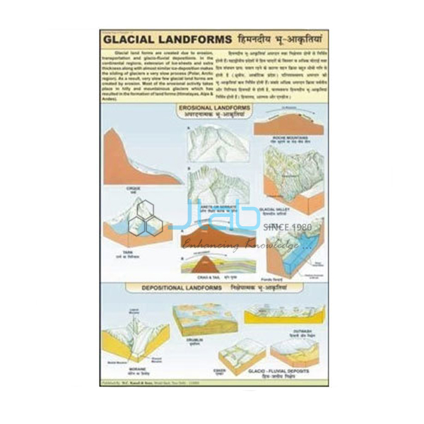
Teachers use it to compare the main kinds of glacier side by side. A continental glacier is an ice sheet that buries a huge area of land, as in Antarctica and Greenland today; a valley glacier is a tongue of ice moving slowly down a mountain valley, like the Gangotri glacier in the Himalaya that feeds the Bhagirathi, a headstream of the Ganga; and a piedmont glacier forms where valley ice spills out onto lower ground at the foot of the mountains and spreads into a broad lobe. As glaciers move they scour U-shaped valleys and cirques and leave ridges of rock debris called moraines.
The chart fits the glacier section of the class 7 NCERT chapter Our Changing Earth, the landforms unit of class 11 physical geography and introductory geomorphology courses in colleges. Display it during the lesson and keep it rolled when not in use; the polyester film can be wiped clean with a damp cloth.
What to Specify When Ordering
- Quantity — minimum 10 charts per order.
- Language — English and Hindi combined is the edition listed here; check with JLab before ordering if you need another language.
- Landform set — pair it with the Glacial Landform Chart and the river, wind and ground water charts if you are building a complete physical geography display.
- Consignee details — delivery address or port, delivery terms and any tender reference.
Frequently Asked Questions
Which types of glacier does the chart cover?
Three: continental glaciers, piedmont glaciers and valley glaciers, each shown together with its effects according to the listing. For the exact drawings, ask JLab for a current image of the chart.
How is this different from the Glacial Landform Chart?
This chart is organised around the types of glacier and their effects. The Glacial Landform Chart is described as explaining how glaciers create landforms through erosion, transportation and deposition, so the two work well as a pair.
What size is the chart?
It is 50 x 75 cm, printed in multicolour on 80 gsm map litho paper and finished with hot-seal polyester lamination on both sides and plastic rollers at top and bottom.
Is it bilingual?
Yes. English and Hindi are printed together on the same sheet.
What details should an export enquiry include?
Quantity, destination country and port or city, delivery terms such as FOB or CIF, packing or labelling requirements and the tender reference if you are buying against a tender.
Who supplies the Glaciers Information Chart?
It is supplied by Jain Laboratory Instruments Pvt Ltd, trading as JLab, of Ambala, Haryana, India, which quotes for it directly.
Supplier
JLab is the trading name of Jain Laboratory Instruments Pvt Ltd, a company incorporated in 2017 with its base on Hargolal Road, Ambala, Haryana. It resells printed teaching charts such as this glacier chart together with the science and laboratory equipment it produces, so geography and science departments can order from one source, and each chart is inspected by eye before dispatch. JLab exports worldwide and can ship to buyers in every region — for example the Netherlands in Western Europe, Sudan in North Africa, Canada in North America, Vanuatu in Oceania and Paraguay in South America. For tender purchases see the JLab lab tenders page.
Related Physical Geography Charts
- Glacial Landform Chart — how glaciers create landforms through erosion, transportation and deposition.
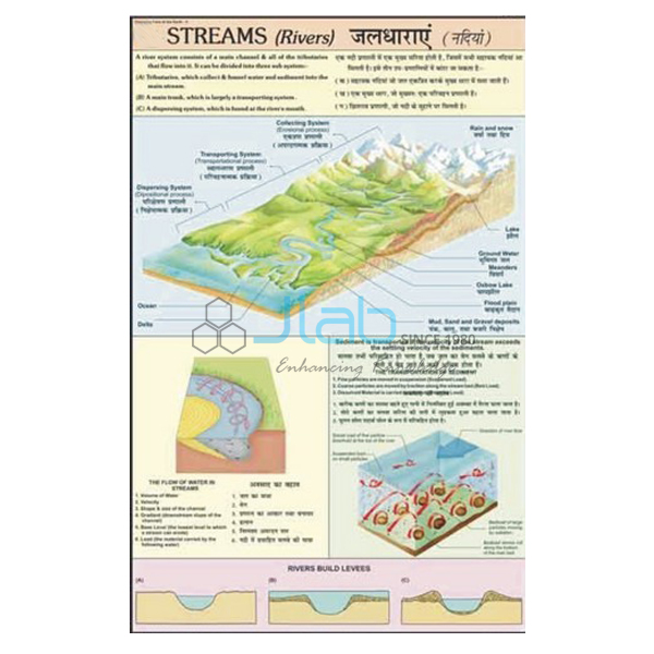
- Streams (Rivers) Charts — how a stream forms and works, from the collecting system to the transporting system.
- Ground Water Information Chart — the zone of aeration, the water table and the zone of saturation.
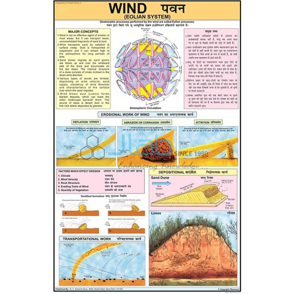
- Wind Eolian System Chart — how wind acts on the Earth’s surface.
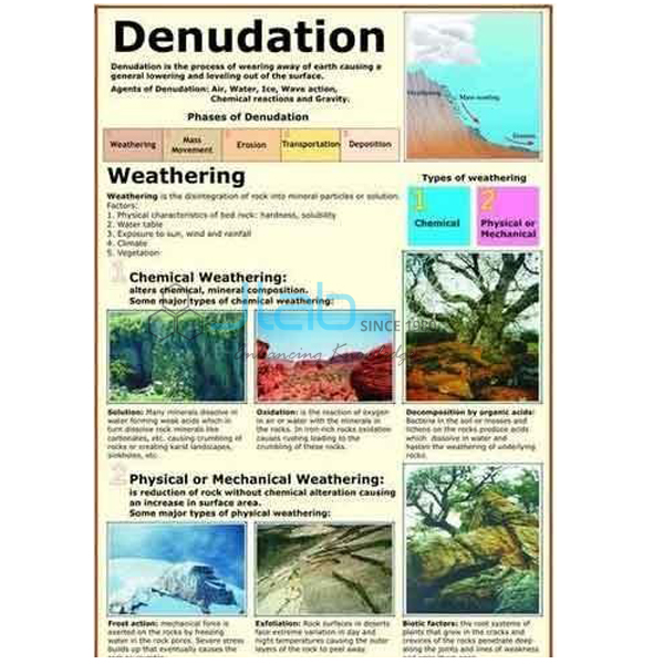
- Denudation Chart — weathering and the effects of erosion.
More titles are in the Changing Face of the Earth range and the Charts section.
Request a Quote
For a quotation direct from JLab, use the Add To Cart enquiry button or the contact page, giving the quantity (minimum 10 units), any companion charts and the delivery destination.
Last updated: 4 October 2026