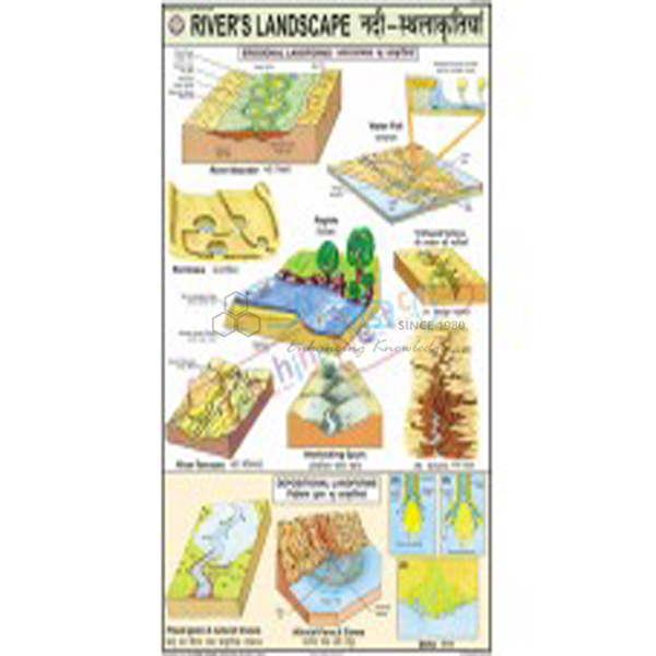
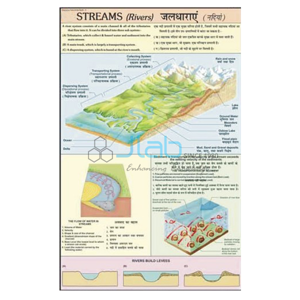
Wind Eolian System Chart Manufacturer,Supplier and Exporter in India
Product Code : EL-CFOTE-3145
Jlab Export is a leading Wind Eolian System Chart Manufacturer,and suppliers in India
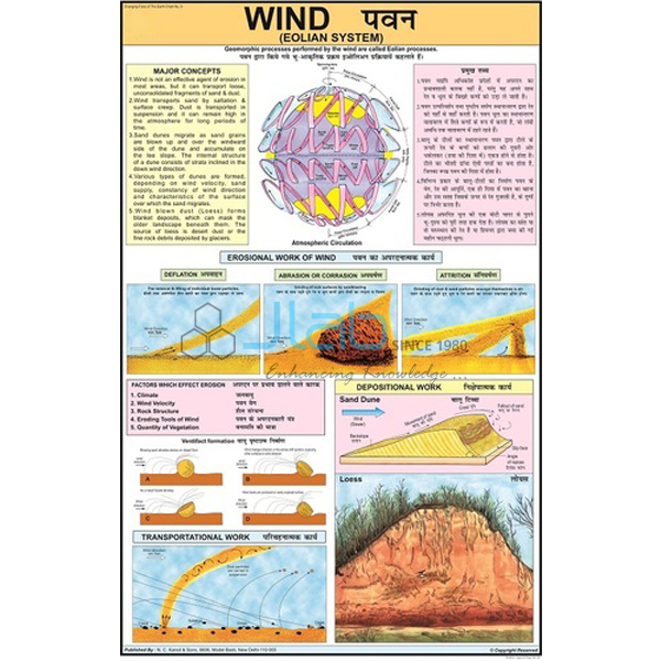
Wind Eolian System Chart (code EL-CFOTE-3145) is a geography wall chart showing how wind acts on the Earth’s surface — the topic geographers call the eolian, or aeolian, system. It measures 50 x 75 cm, is printed in multicolour on 80 gsm map litho paper with English and Hindi text combined, and is laminated on both sides with plastic rollers for hanging. JLab (Jain Laboratory Instruments Pvt Ltd, Ambala, India) supplies it to schools, colleges and dealers.
Specifications
| Parameter | Detail |
|---|---|
| Subject | The parameters of how wind acts on the Earth’s surface |
| Size | 50 x 75 cm |
| Printing | Multicolour on 80 gsm map litho paper |
| Lamination | Hot-seal polyester film on both sides |
| Rollers | Plastic, fitted at top and bottom |
| Language | English and Hindi combined on one sheet |
| Quality check | Each chart is visually inspected before dispatch |
| Pack quantity | Each (sold individually) |
| Minimum order quantity | 10 units |
| Dispatch time | Usually 7–10 working days |
| Product code | EL-CFOTE-3145 |
| Supplied by | Jain Laboratory Instruments Pvt Ltd (JLab), Ambala, India |
What Is the Wind Eolian System Chart Used For?
It is a teaching aid for the work of wind, one of the agents that reshape the land alongside rivers, glaciers and the sea. In dry regions with little plant cover, wind lifts loose dust and sand (deflation) and blasts exposed rock with the grains it carries (abrasion), leaving features such as deflation hollows and mushroom rocks. Fine dust travels in suspension while sand bounces along the ground, and when the wind slows the load is dropped as sand dunes, including crescent-shaped barchans, or as sheets of wind-blown silt called loess.
The topic appears in the class 7 NCERT geography chapter Our Changing Earth and in the landforms unit of class 11 physical geography, and Indian classes often link it to the dunes of the Thar Desert in Rajasthan. Hang the chart in the geography lab during the unit and wipe the laminated face with a damp cloth when it needs cleaning.
What to Specify When Ordering
- Number of charts — at least 10 units per order.
- Language edition — this listing is English and Hindi combined; ask first if you need a different language.
- Related charts — pressure and winds, river, glacier and sea charts can be quoted together for a full landforms set.
- Shipping details — destination, delivery terms and any labelling your institution requires.
Frequently Asked Questions
What does the chart show?
According to the listing it shows the parameters of how wind acts on the Earth’s surface. Those parameters are not itemised in the listing, so ask JLab for a current image if you need to match the chart to a syllabus before ordering.
What does “eolian” mean?
Eolian (also spelt aeolian) means caused by wind. The word comes from Aeolus, the keeper of the winds in Greek myth, and geographers use it for wind erosion, wind transport and wind-made landforms such as dunes.
Does it cover pressure belts and planetary winds?
Its listed subject is how wind acts on the land surface, not the pattern of air pressure. The separate Pressure and Winds Chart, linked below, covers pressure belts and planetary winds.
What size is it and how is it made to last?
The sheet is 50 x 75 cm, printed in multicolour on 80 gsm map litho paper, sealed in hot-seal polyester film on both sides and fitted with plastic rollers top and bottom.
Which languages are on the chart?
English and Hindi, combined on one sheet.
How many must I order, and how soon is it dispatched?
At least 10 units, sold individually. Dispatch is usually within 7–10 working days, after each chart is visually inspected; export transit time is extra and depends on the route.
Who supplies this chart?
JLab — Jain Laboratory Instruments Pvt Ltd of Ambala, Haryana, India — supplies it and quotes directly to schools, colleges, dealers and importers.
Supplier
JLab is the trading name of Jain Laboratory Instruments Pvt Ltd, incorporated in 2017 and based on Hargolal Road, Ambala, Haryana. Besides the laboratory equipment it produces, the company resells printed geography and science charts like this one, which lets a geography department source its wall charts and lab items from a single supplier; every chart is looked over before packing. Its export customers are spread across the world — Belgium in Western Europe, Canada in North America, Japan in East Asia, Cambodia in Southeast Asia and Kenya in East Africa are examples. Schools and colleges buying by tender can find details on the JLab lab tenders page.
Charts on Other Agents of Erosion
- Pressure and Winds Chart — atmospheric pressure belts and the planetary winds they drive.
- Denudation Chart — weathering and the chemical and physical effects of erosion.
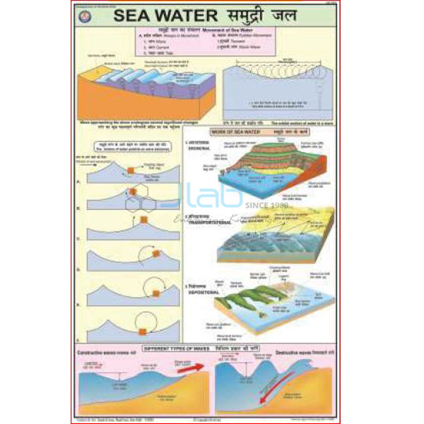
- Sea Water Map — erosion, transportation and deposition by sea water.
- Rivers Landscape Chart — erosion and depositional landforms made by rivers.
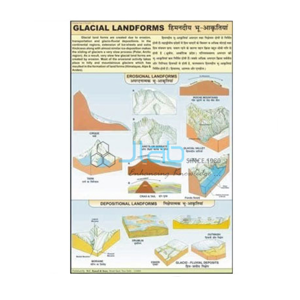
- Glacial Landform Chart — landforms shaped by glacial erosion, transportation and deposition.
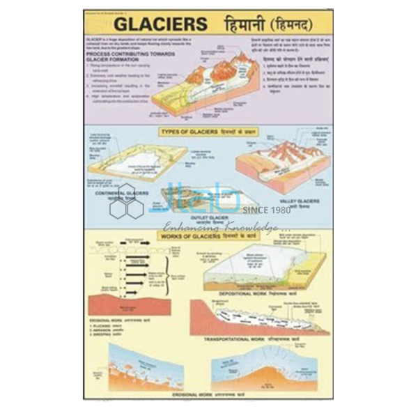
- Glaciers Information Chart — continental, piedmont and valley glaciers and their effects.
See the Changing Face of the Earth range and the wider Charts section.
Request a Quote
JLab quotes directly. Click Add To Cart on this page, or write through the contact page with the number of charts (minimum 10 units), any related charts and where the order should be delivered.
Last updated: 4 October 2026