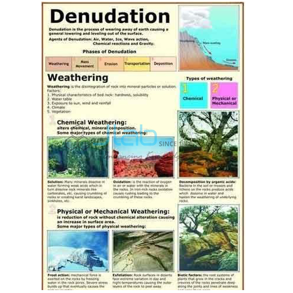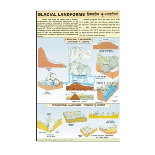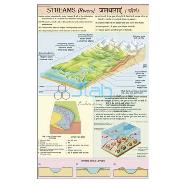

Rivers Landscape Chart Manufacturer,Supplier and Exporter in India
Product Code : EL-CFOTE-3143
Jlab Export is a leading Rivers Landscape Chart Manufacturer,and suppliers in India
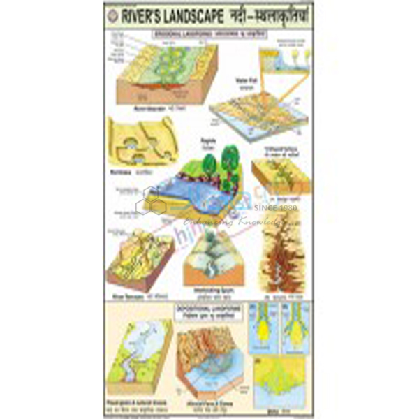
Rivers Landscape Chart (code EL-CFOTE-3143) is a multicolour 50 x 75 cm wall chart on the landscape that rivers create, set out as erosion landforms and depositional landforms. It is used to teach the work of running water in school geography rooms and college physical geography classes. The chart is laminated, hangs on plastic rollers and is printed in English and Hindi together. It is made by Jain Laboratory Instruments Pvt Ltd (JLab) at its works in Ambala, India.
Get a quote: use the Add To Cart enquiry button below, or send your quantity and destination through the contact page.
Specifications
| Parameter | Detail |
|---|---|
| Topic | River landscape — erosion landforms and depositional landforms |
| Printing | Multicolour on 80 gsm map litho paper |
| Size | 50 x 75 cm |
| Lamination | Hot seal polyester film on both sides |
| Rollers | Plastic rollers fitted at top and bottom |
| Language | English and Hindi combined |
| Quality check | Each chart is visually inspected before dispatch |
| Pack quantity | Each (sold individually) |
| Minimum order quantity | 10 units |
| Dispatch time | Usually 7–10 working days |
| Product code | EL-CFOTE-3143 |
| Manufacturer | Jain Laboratory Instruments Pvt Ltd (JLab) — OEM |
| Country of origin | India (made in Ambala, Haryana) |
What Is the Rivers Landscape Chart Used For?
Running water is the most widespread agent shaping the land. A river erodes by the force of its flow, by grinding its load of sand and pebbles against the bed and banks, and by dissolving some rocks. In its steep upper course this cuts V-shaped valleys, gorges, waterfalls, plunge pools and potholes. Where the gradient flattens and the water slows, the river drops its load, building alluvial fans, floodplains, natural levees and, at the mouth, deltas. Meanders combine both processes: the outer bank of each bend is eroded while sand and silt settle on the inner bank, and a cut-off loop becomes an oxbow lake — a common sight on the Ganga plains.
Splitting the chart into erosion and depositional landforms helps students sort these features by process, which is how the topic is usually examined in secondary and senior secondary geography. The individual landforms drawn on the chart are not listed, so request an image of the artwork from JLab if you need to match it to your syllabus.
What to Specify When Ordering
- Quantity — minimum order 10 units.
- Companion items — the meander and oxbow lake model, the delta model or the Streams (Rivers) chart, all linked below.
- Delivery — city and country, delivery terms such as FOB or CIF, and any tender reference.
Frequently Asked Questions
What does the Rivers Landscape Chart cover?
River erosion landforms and river depositional landforms, presented in multicolour on one chart. Ask JLab for an image if you need to confirm a particular feature.
Is a meander an erosional or a depositional feature?
Both. The current is fastest on the outside of a bend, where it cuts into the bank, and slowest on the inside, where it deposits sediment, so the bend slowly migrates and grows; an oxbow lake forms when the river cuts across the neck of the loop.
What are the chart’s size and material?
50 x 75 cm, printed on 80 gsm map litho paper and laminated with hot seal polyester film on both sides, with plastic rollers at the top and bottom.
Can it be used in Hindi-medium classes?
Yes. The text is in English and Hindi combined on the same chart.
What is the minimum order and how quickly is it dispatched?
10 units, supplied individually. Dispatch usually takes 7–10 working days, every chart is visually inspected first, and export transit time depends on the destination.
Who makes this chart?
JLab (Jain Laboratory Instruments Pvt Ltd) manufactures it at its works in Ambala, Haryana, India.
OEM Manufacturer
Jain Laboratory Instruments Pvt Ltd, trading as JLab, manufactures teaching charts, geography models and laboratory equipment in India; the company was incorporated in 2017 and works from Hargolal Road, Ambala, Haryana. The Rivers Landscape Chart is produced at JLab’s own works rather than resold from a trader, so buyers — schools, colleges, dealers and importers — deal with the manufacturer, every chart is inspected by eye before packing, and repeat orders come back to the same source. JLab exports worldwide and can deliver to buyers in every region, such as Gambia in West Africa, Samoa in Oceania, Gabon in Central Africa, Kazakhstan in Central Asia and Cambodia in Southeast Asia. Tender buyers can refer to the JLab lab tenders page.
River Models and Related Charts
- River Meander and Ox Bow Lake Model — a bend in a winding river and the U-shaped oxbow lake left when it is cut off.
- Delta Model — the landform built at a river mouth from deposited sediment.
- Cycle of Erosion 3D Model — a rigid PVC model with a markable, washable surface, hard backing, aluminium frame and hooks.
- Streams (Rivers) Charts — how a stream forms and works through its collecting, transporting and dispersing systems.
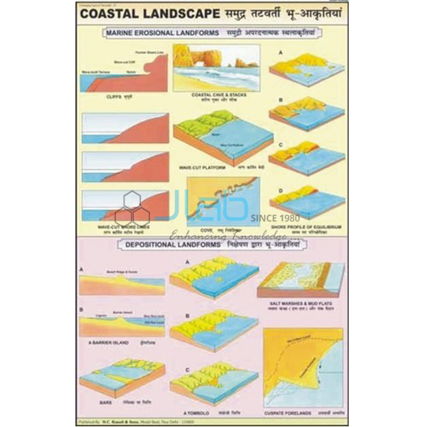
- Coastal Landscape Chart — the coastal landscape made by sea water.
See the rest of the Changing Face of the Earth series or the full Charts catalogue.
Request a Quote
Ask the manufacturer directly: press Add To Cart on this page or use the contact page, giving the number of charts (minimum 10 units), any models to add, and the delivery address or port.
Last updated: 3 October 2026