Coastal Landscape Chart Manufacturer,Supplier and Exporter in India
Product Code : EL-CFOTE-3141
Jlab Export is a leading Coastal Landscape Chart Manufacturer,and suppliers in India
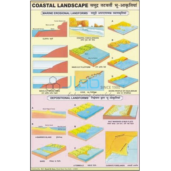
Coastal Landscape Chart (code EL-CFOTE-3141) is a laminated 50 x 75 cm geography chart with figures and diagrams of the coastal features made by sea water, used to teach how waves wear away and build up shorelines. Printed in multicolour on 80 gsm map litho paper, it hangs from plastic rollers and carries English and Hindi on the same sheet. JLab (Jain Laboratory Instruments Pvt Ltd, Ambala, India) supplies it to schools, colleges and dealers.
Specifications
| Parameter | Detail |
|---|---|
| Subject | Figures and diagrams of the landscape made by sea water |
| Size | 50 x 75 cm |
| Printing | Multicolour on 80 gsm map litho paper |
| Lamination | Hot-seal polyester film on both sides |
| Hanging | Plastic rollers at top and bottom |
| Language | English and Hindi combined |
| Figures shown | Not itemised in the listing; a preview image is available on request |
| Quality check | Each chart is visually inspected before dispatch |
| Pack quantity | Each (sold individually) |
| Minimum order quantity | 10 units |
| Dispatch time | Usually 7–10 working days |
| Product code | EL-CFOTE-3141 |
| Supplied by | Jain Laboratory Instruments Pvt Ltd (JLab), Ambala, India |
What Is the Coastal Landscape Chart Used For?
Sea waves are one of the agents that shape the land, and their work is easiest to explain with drawings. Waves break against the coast, forcing water and air into cracks and hurling sand and pebbles at the rock, so the shore is cut back into steep sea cliffs with flat wave-cut platforms at their foot. Weak points are hollowed into sea caves; when a cave cuts right through a headland it becomes an arch, and when the roof of the arch falls, a pillar of rock called a stack is left standing in the sea.
Where the water is calmer, the waves drop the sand and shingle they carry, building beaches, spits and bars, sometimes with a lagoon trapped behind. Pupils meet sea caves, arches, stacks and beaches in the middle-school lessons on how the Earth’s surface changes, and class 11 physical geography returns to coastal landforms in more depth. Ask for a preview image if the figures must match your textbook.
What to Specify When Ordering
- Quantity — minimum 10 units, sold individually.
- Preview — request an image of the chart before ordering for a particular syllabus.
- Companion charts — the sea water, ocean currents, river and glacial charts linked below.
Frequently Asked Questions
What does the Coastal Landscape Chart show?
Different figures and diagrams of the features made by sea water along the coast, as described in its listing.
What size is the chart and what is it printed on?
It is 50 x 75 cm, printed in multicolour on 80 gsm map litho paper and laminated with hot-seal polyester film on both sides.
Does it come ready to hang?
Yes. Plastic rollers are fitted at the top and bottom.
Which language is used on the chart?
English and Hindi, printed together on the same chart.
How does a sea stack form?
Waves enlarge cracks in a headland into caves; caves on either side meet to form an arch, and when the arch collapses the outer part is left as a stack.
Who supplies this chart?
JLab, the trading name of Jain Laboratory Instruments Pvt Ltd of Ambala, Haryana, India, supplies it and quotes directly.
Supplier
JLab is the trading name of Jain Laboratory Instruments Pvt Ltd, a company incorporated in 2017 and based on Hargolal Road, Ambala, Haryana. Besides the laboratory and teaching equipment in its own range, JLab supplies physical geography wall charts like this one, so that schools, colleges and dealers can source a geography room’s charts and instruments together; each chart is visually checked before it is packed. JLab exports worldwide and ships to buyers in every region — for example Slovenia in Southern Europe, Uruguay in South America, Botswana in Southern Africa, Canada in North America and Gabon in Central Africa. Tender buyers can consult the JLab lab tenders page.
Related Sea and Landform Charts
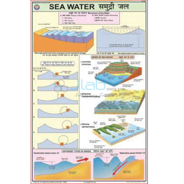
- Sea Water Map — the work of the sea: erosion, transportation of particles and deposition of the eroded material.
- Ocean Currents Chart — the great streams of warm and cold water that circulate through the seas.
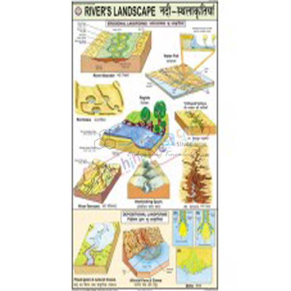
- Rivers Landscape Chart — the erosion and depositional landforms made by rivers.
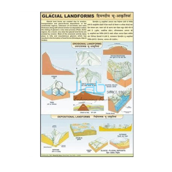
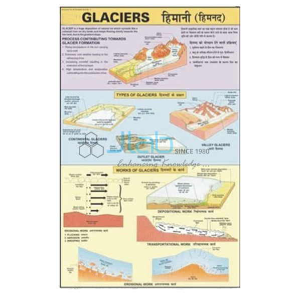
- Glacial Landform Chart — landforms created by glacial erosion, transportation and deposition.
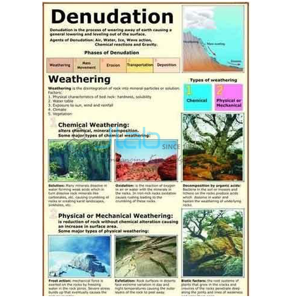
- Denudation Chart — weathering and the chemical and physical effects of erosion.
More titles are in Changing Face of the Earth and the wider Charts range.
Request a Quote
JLab quotes directly. Use the Add To Cart enquiry button or the contact page to send the quantity (minimum 10 units), the delivery destination and any companion charts you want quoted.
Last updated: 4 October 2026