Glacial Landform Chart Manufacturer,Supplier and Exporter in India
Product Code : EL-CFOTE-3140
Jlab Export is a leading Glacial Landform Chart Manufacturer,and suppliers in India
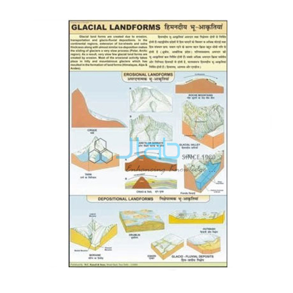
Glacial Landform Chart (code EL-CFOTE-3140) is a 50 x 75 cm laminated wall chart on the creation of landforms by glaciers through erosion, transportation and deposition, for physical geography and earth science lessons in schools and colleges. It is printed in multicolour on 80 gsm map litho paper, hangs from plastic rollers and carries English and Hindi together. JLab (Jain Laboratory Instruments Pvt Ltd, Ambala, India) supplies it to schools, colleges and dealers.
Specifications
| Parameter | Detail |
|---|---|
| Subject | Creation of glacial landforms by erosion, transportation and deposition |
| Size | 50 x 75 cm |
| Printing | Multicolour on 80 gsm map litho paper |
| Lamination | Hot-seal polyester film on both sides |
| Hanging | Plastic rollers at top and bottom |
| Language | English and Hindi combined |
| Labels and diagrams | Not itemised in the listing; ask JLab for a preview image |
| Quality check | Each chart is visually inspected before dispatch |
| Pack quantity | Each (sold individually) |
| Minimum order quantity | 10 units |
| Dispatch time | Usually 7–10 working days |
| Product code | EL-CFOTE-3140 |
| Supplied by | Jain Laboratory Instruments Pvt Ltd (JLab), Ambala, India |
What Is the Glacial Landform Chart Used For?
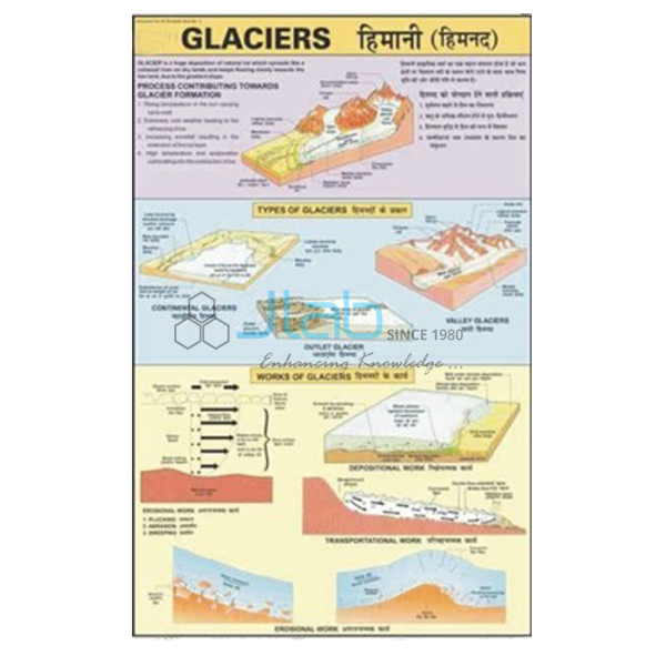
A glacier is a slow-moving mass of ice, and the chart follows the three stages of its work named in the listing. As it moves, the ice erodes the land by plucking loose blocks of rock and grinding the valley floor with the debris it carries, carving armchair-shaped hollows called cirques, knife-edged ridges called arêtes, pyramidal peaks or horns, and deep U-shaped valleys with hanging valleys high on their sides. The rock debris it carries along is called moraine.
Where the ice melts, that load is deposited as terminal, lateral and medial moraines, rounded drumlins, winding eskers and broad outwash plains. Middle-school geography introduces glaciers and U-shaped valleys in the lessons on how the Earth’s surface changes, and class 11 physical geography treats glacial landforms in detail, so the chart is useful from school geography rooms to college physical geography labs. Request a preview if the labels have to match your textbook.
What to Specify When Ordering
- Quantity — the minimum order is 10 units, sold individually.
- Preview — ask for an image of the chart to check its labels against your syllabus.
- Landform series — the river, wind, coastal and denudation charts complete the set on the agents of erosion.
Frequently Asked Questions
What does the Glacial Landform Chart show?
The creation of landforms by glaciers through erosion, transportation and deposition.
What size is it and how is it finished?
It is 50 x 75 cm, printed in multicolour on 80 gsm map litho paper, laminated with hot-seal polyester film on both sides and fitted with plastic rollers at top and bottom.
Which language is it printed in?
English and Hindi, combined on one chart.
What is a moraine?
Moraine is the rock debris that a glacier carries and later drops. Ridges of it form along the sides of the ice (lateral moraines), where two glaciers meet (medial moraines) and at the farthest point the ice reaches (terminal moraines).
How is this chart different from the Glaciers Information Chart?
This chart concentrates on the landforms that glacial erosion, transportation and deposition create; the Glaciers Information Chart, according to its own listing, sets out the three kinds of glacier — continental, piedmont and valley — and their effects on the land.
Who supplies this chart?
JLab, the trading name of Jain Laboratory Instruments Pvt Ltd of Ambala, Haryana, India, supplies it and quotes directly.
Supplier
JLab is the trading name of Jain Laboratory Instruments Pvt Ltd, incorporated in 2017 and based on Hargolal Road, Ambala, Haryana. Alongside the laboratory and teaching equipment in its own range, it supplies physical geography charts such as this one, which lets schools, colleges and dealers furnish a geography room through a single supplier; every chart is checked visually before dispatch. JLab is registered for GST as GSTIN 06AADCJ9848D1ZE and holds Legal Entity Identifier 549300DTGS77DGYD6N03. It exports worldwide and ships to buyers in every region — for example Serbia in Southern Europe, Nepal in South Asia, Paraguay in South America, South Africa in Southern Africa and Cambodia in Southeast Asia. Tender buyers can see the JLab lab tenders page.
Related Landform Charts and Models
- Glaciers Information Chart — the three kinds of glacier and their effects on the land.
- Glacier Model — a model of a glacier, the large persistent body of ice that shapes these landforms.
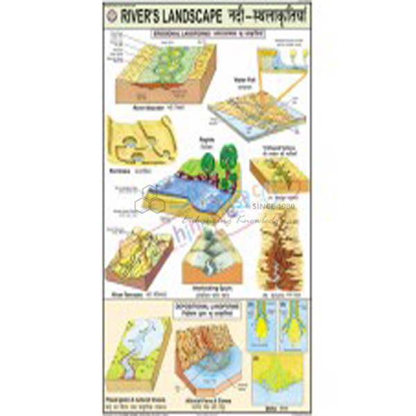
- Rivers Landscape Chart — the erosion and depositional landforms made by rivers.
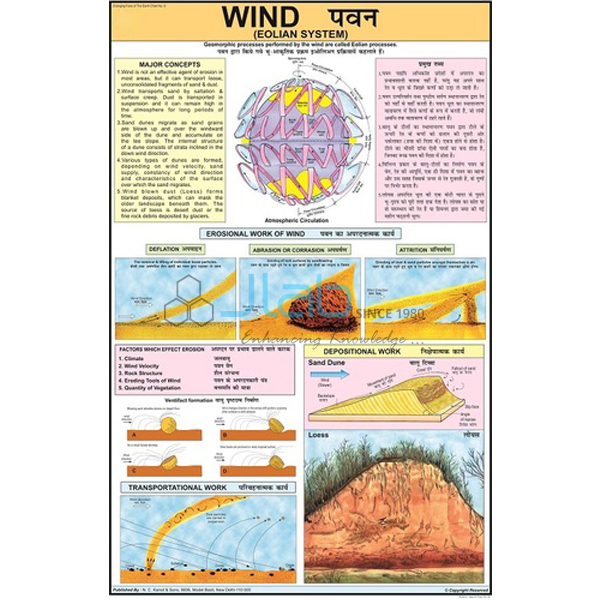
- Wind Eolian System Chart — how wind acts on the Earth’s surface.
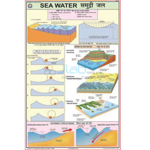
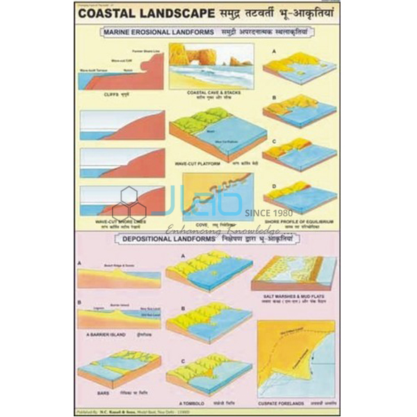
- Coastal Landscape Chart — the figures and diagrams made by sea water along the coast.
- Denudation Chart — weathering and the chemical and physical effects of erosion.
See all titles in Changing Face of the Earth or the full Charts range.
Request a Quote
JLab quotes directly. Send the quantity (minimum 10 units), the delivery destination and any other landform charts you need through the Add To Cart enquiry button or the contact page.
Last updated: 4 October 2026