Ground Water Information Chart Manufacturer,Supplier and Exporter in India

Product Code : EL-CFOTE-3147
Jlab Export is a leading Ground Water Information Chart Manufacturer,and suppliers in India
Ground Water Information Chart (code EL-CFOTE-3147) is a geography and environmental science wall chart on the water held beneath the ground, covering the zone of aeration, the water table and the zone of saturation. It is a 50 x 75 cm multicolour print on 80 gsm map litho paper, laminated on both sides, with plastic rollers and English and Hindi text combined. JLab (Jain Laboratory Instruments Pvt Ltd, Ambala, India) supplies it to schools, colleges and dealers.
Specifications
| Parameter | Detail |
|---|---|
| Topics | Zone of aeration, water table, zone of saturation |
| Size | 50 x 75 cm |
| Printing | Multicolour on 80 gsm map litho paper |
| Lamination | Hot-seal polyester film, both sides |
| Rollers | Plastic, top and bottom |
| Language | English and Hindi combined |
| Quality check | Each chart is visually inspected before dispatch |
| Pack quantity | Each (sold individually) |
| Minimum order quantity | 10 units |
| Dispatch time | Usually 7–10 working days |
| Product code | EL-CFOTE-3147 |
| Supplied by | Jain Laboratory Instruments Pvt Ltd (JLab), Ambala, India |
What Is the Ground Water Information Chart Used For?
The chart helps students picture what happens to rain after it soaks into the ground. Water seeping down first passes through the zone of aeration, where the spaces in soil and rock hold both air and water. Deeper down is the zone of saturation, where every pore and crack is filled with water, and the top of that zone is the water table. The water table rises after rain and falls in dry seasons or where wells pump out more than is replaced, which is why a well gives water only when it reaches below it, and why springs appear where the water table meets the land surface.
These ideas come up in school science and geography lessons on water resources, in environmental studies on groundwater depletion and recharge, and in introductory hydrology and civil engineering courses. Hang the chart beside a river or water pollution chart to show the whole water story, and clean the laminated surface with a damp cloth.
What to Specify When Ordering
- Order size — 10 charts is the minimum.
- Language — the listed edition combines English and Hindi; confirm with JLab before ordering any other language.
- Teaching set — add the stream, glacier or water pollution charts, or a drinking water test kit, for a complete water unit.
- Delivery — destination, delivery terms and labelling or tender requirements.
Frequently Asked Questions
What does the Ground Water Information Chart cover?
The zone of aeration, the water table and the zone of saturation, as stated in the listing. If you need to see how they are drawn, ask JLab for a current image.
What is the difference between the zone of aeration and the zone of saturation?
In the zone of aeration the gaps in soil and rock contain both air and water; in the zone of saturation below it they are completely filled with water. The water table is the boundary between the two.
How large is the chart and how is it finished?
50 x 75 cm, printed in multicolour on 80 gsm map litho paper, laminated with hot-seal polyester film on both sides and fitted with plastic rollers at top and bottom.
What language is it in?
English and Hindi together on one sheet.
What should I send for an export quotation?
The quantity, destination country and port or city, preferred delivery terms (for example FOB or CIF), any packing or labelling needs and a tender reference if applicable.
Who supplies this chart?
JLab, the trading name of Jain Laboratory Instruments Pvt Ltd in Ambala, Haryana, India, supplies it and quotes directly.
Supplier
JLab is the trading name of Jain Laboratory Instruments Pvt Ltd, incorporated in 2017 and located on Hargolal Road, Ambala, Haryana. Alongside the laboratory equipment it produces, JLab supplies printed geography and environmental science charts like this one, so schools, colleges, dealers and importers can combine charts and lab items in one consignment; each chart is visually checked before it is packed. JLab sells to buyers worldwide, in every region — France in Western Europe, Hungary in Eastern Europe, Australia in Oceania, South Korea in East Asia and Liberia in West Africa among them. Tender buyers can refer to the JLab lab tenders page.
Charts and Kits for a Water Unit
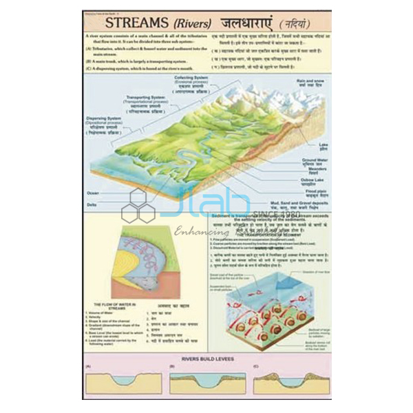
- Streams (Rivers) Charts — how a stream forms and functions, from its collecting system to its transporting system.
- Water Pollution Chart — industrial effluents mixing with river water and the neglect of safe drinking-water supply.
- Testing Drinking Water — a lesson kit for testing drinking water for pH, hardness, alkalinity, fluoride and chlorine.
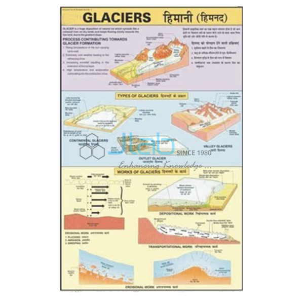
- Glaciers Information Chart — continental, piedmont and valley glaciers and their effects.
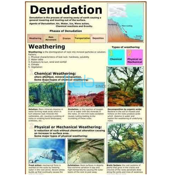
- Denudation Chart — weathering and the chemical and physical effects of erosion.
Find more in the Changing Face of the Earth range and across all Charts.
Request a Quote
JLab replies with its own quotation. Use Add To Cart on this page or the contact page, and include the quantity (minimum 10 units), any other charts or kits and the delivery location.
Last updated: 4 October 2026