Estuary Model Manufacturer,Supplier and Exporter in India

Product Code : EL-ERAM-4427
Jlab Export is a leading Estuary Model Manufacturer,and suppliers in India
Estuary Model (code EL-ERAM-4427) is a 35 x 40 cm geography teaching model of an estuary — an arm of the sea that extends inland to meet the mouth of a river. It helps students picture the meeting zone where river water and sea water mix, and why some rivers end in an open, funnel-like mouth rather than a delta. JLab (Jain Laboratory Instruments Pvt Ltd) manufactures it at its works in Ambala, India.
Specifications
| Parameter | Detail |
|---|---|
| Landform | Estuary — an arm of the sea that extends inland to meet the mouth of a river |
| Size | 35 x 40 cm (about 13.8 x 15.7 in) |
| Quality check | Each model is visually inspected before dispatch |
| Pack quantity | Each (sold individually) |
| Minimum order quantity | 10 units |
| Dispatch time | Usually 7–10 working days |
| Product code | EL-ERAM-4427 |
| Manufacturer | Jain Laboratory Instruments Pvt Ltd (JLab) — OEM |
| Country of origin | India (made in Ambala, Haryana) |
What Is the Estuary Model Used For?
In an estuary, fresh river water meets salt sea water and the two mix into brackish water. Tides push the sea in and draw it out again, and these tidal currents carry away much of the sediment the river brings, so instead of building a delta the river mouth stays open. The sheltered, nutrient-rich water supports mudflats, salt marshes and mangroves and serves as a nursery for many fish, and many port cities, London on the Thames among them, grew up on estuaries.
The model fits the class 9 drainage chapter, which notes that the west-flowing Narmada and Tapi form estuaries while the main east-flowing rivers build deltas, and environmental science lessons on wetlands. It is listed at the same dimensions as the Bay, Cape and Confluence models in this range.
Frequently Asked Questions
What is an estuary?
An arm of the sea that extends inland to meet the mouth of a river, where fresh and salt water mix.
Why do some rivers form estuaries instead of deltas?
Where tides and currents are strong enough to carry the river’s sediment away, the mouth stays open as an estuary; where sediment settles faster than it is removed, a delta builds up.
What are the size and material?
The listed size is 35 x 40 cm (about 13.8 x 15.7 in); the material is not stated, so ask JLab.
Who manufactures it?
JLab — Jain Laboratory Instruments Pvt Ltd — at its works in Ambala, Haryana.
OEM Manufacturer
JLab is the trading name of Jain Laboratory Instruments Pvt Ltd, an Indian manufacturer of geography lab equipment and science teaching models, incorporated in 2017 and based on Hargolal Road, Ambala, Haryana. Each model is built in JLab’s own works instead of being bought from traders, so schools, colleges, dealers and importers order directly from the producer. JLab exports worldwide and ships to buyers in every region — for example the Gambia in West Africa, the UK in Western Europe, Mongolia in East Asia, Iceland in Northern Europe and Qatar in the Middle East.
Related River-Mouth and Coast Models
- Delta Model — the other way a river can end: new land built from deposited sediment.
- Bay Model — an area of sea water mostly surrounded by land.
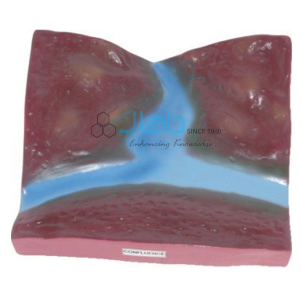
- Confluence Model — the point where two streams merge into one.
- Rivers Landscape Chart — a wall chart of erosion and depositional river landforms.
More in Educational Rock and Minerals and Rocks and Minerals.
Request a Quote
Quotes come straight from the manufacturer. Use Add To Cart, or send the quantity (minimum 10 units) and destination through the contact page.
Last updated: 9 October 2026