Haryana Map Chart Manufacturer,Supplier and Exporter in India
Product Code : EL-SMP-3311
Jlab Export is a leading Haryana Map Chart Manufacturer,and suppliers in India
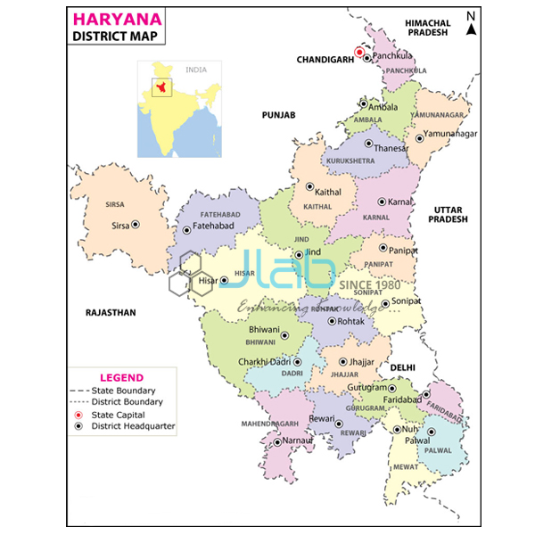
Haryana Map Chart (code EL-SMP-3311) is a 70 x 100 cm political wall map of Haryana showing the latest boundaries, capital cities, important towns and political features, used for home-state social science and geography lessons. The multicolour print on 80 gsm map litho paper is laminated with hot-seal polyester film on both sides and hangs from plastic rollers; it comes in Hindi or English. It is made by Jain Laboratory Instruments Pvt Ltd (JLab) at its works in Ambala, India.
Specifications
| Parameter | Detail |
|---|---|
| Coverage | Haryana, political map |
| Map content | Latest boundaries; capital cities and important towns; political features |
| Size | 70 x 100 cm |
| Paper and print | Multicolour on 80 gsm map litho paper |
| Lamination | Hot-seal polyester film on both sides |
| Rollers | Plastic rollers at top and bottom |
| Language | Hindi or English |
| Quality check | Each chart is visually inspected before dispatch |
| Pack quantity | Each (sold individually) |
| Minimum order quantity | 10 units |
| Dispatch time | Usually 7–10 working days |
| Product code | EL-SMP-3311 |
| Manufacturer | Jain Laboratory Instruments Pvt Ltd (JLab) — OEM |
| Country of origin | India (made in Ambala, Haryana) |
What Is the Haryana Map Used For?
Haryana was carved out of Punjab, and the two states still share a capital, Chandigarh, which is itself a union territory. On a political map of Haryana pupils can see how the state surrounds Delhi on three sides, follow its borders with Punjab and Himachal Pradesh to the north, a short stretch with Uttarakhand, Uttar Pradesh to the east along much of the Yamuna, and Rajasthan to the south and south-west. They can then locate important towns along the Grand Trunk Road and beyond — Panchkula, Ambala, Kurukshetra, Karnal, Panipat and Sonipat in the north, Gurugram and Faridabad near Delhi, and Hisar and Rohtak in the west. These are lesson examples; the listing does not itemise the towns or district lines marked, so ask JLab to confirm a specific place if your syllabus needs it.
Haryana schools use the chart in Hindi or English for home-state lessons, and it is a common item in the social science room alongside the India and world maps; colleges and coaching centres in the region use it for map-based questions in state service and other competitive examinations. Wipe the laminated surface with a damp cloth, point with a stick rather than pins so the film stays intact, and roll the map up from the bottom when it is not on the wall.
What to Specify When Ordering
- Language — Hindi or English for each chart.
- Quantity — the minimum is 10 units.
- Neighbouring maps — Punjab, Delhi, Himachal Pradesh, Rajasthan, Uttar Pradesh and Uttarakhand charts for a northern India set.
- Delivery — delivery town or export port, FOB or CIF terms, and any tender reference.
Frequently Asked Questions
Is the Haryana map available in Hindi?
Yes. It is supplied in Hindi or in English; mention the language for each chart in your enquiry.
What does the map show?
The latest boundaries of Haryana, its capital cities and important towns, and political features, printed in multicolour. The towns are not itemised in the listing, so confirm any particular place with JLab.
What are the size and finish?
The chart is 70 x 100 cm on 80 gsm map litho paper, laminated with hot-seal polyester film on both faces, with plastic rollers at the top and bottom for hanging.
Why is Chandigarh shown as the capital of both Haryana and Punjab?
Because it is the shared capital of the two states, while being administered separately as a union territory. Pupils often find this surprising, and a political map is a good way to show where it lies.
How many must I order, and how soon is it dispatched?
The minimum order is 10 units, each supplied as a single chart. Dispatch is usually within 7–10 working days after a visual inspection; delivery time abroad depends on the destination.
Where is this map made?
In Haryana itself — JLab, the trading name of Jain Laboratory Instruments Pvt Ltd, makes it at its works in Ambala and supplies it directly.
OEM Manufacturer
The chart is made by Jain Laboratory Instruments Pvt Ltd, trading as JLab, a Haryana-based manufacturer of teaching charts, wall maps and laboratory equipment, incorporated in 2017 and located on Hargolal Road, Ambala. It comes from JLab’s own works rather than a trader, so schools, colleges, dealers and importers buy direct from the maker, each chart is visually checked before dispatch, and the manufacturer handles any repeat order. JLab exports worldwide and ships to buyers in every region, for example Tonga in Oceania, the Czech Republic in Eastern Europe, Oman in the Middle East, the Maldives in South Asia and El Salvador in Central America and the Caribbean. Tender buyers can find details on the JLab lab tenders page.
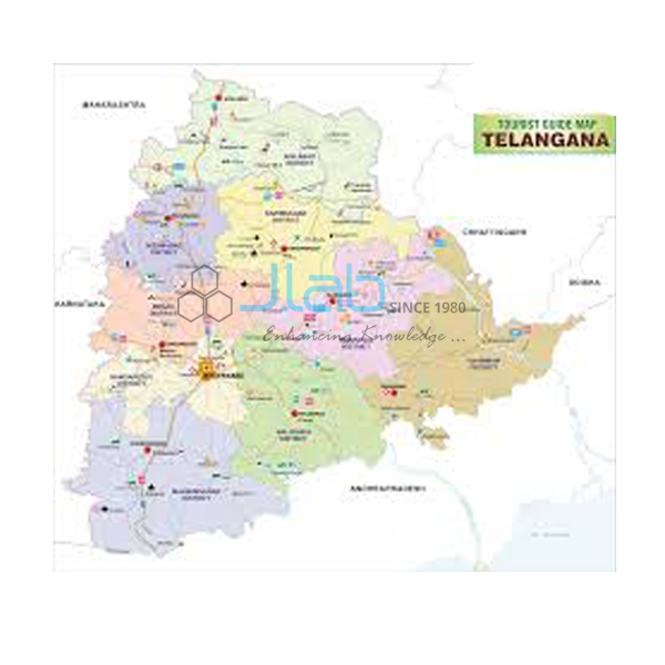
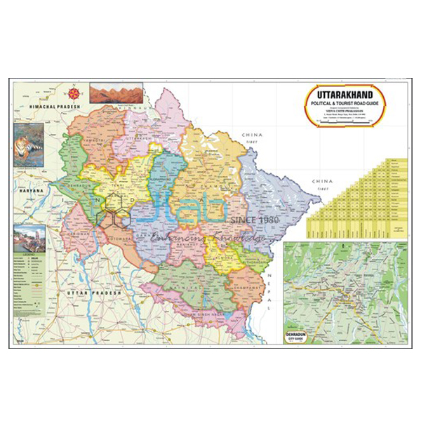
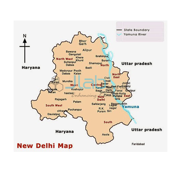
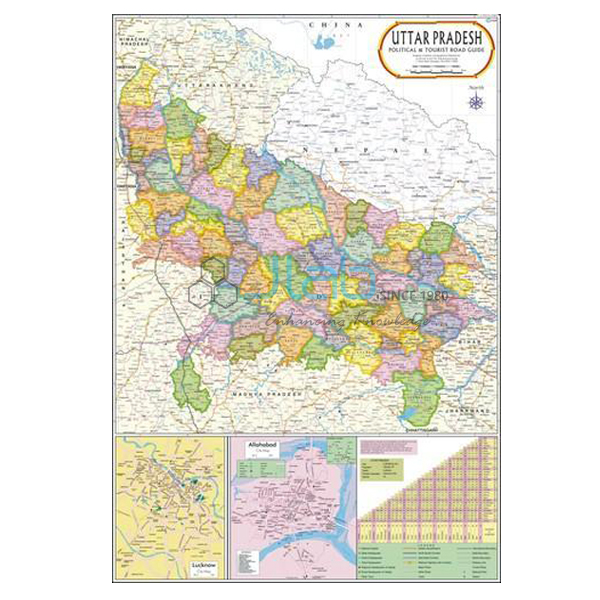
Maps of Haryana’s Neighbours
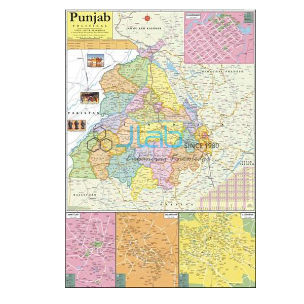
- Punjab Political Map Chart — the state that shares Chandigarh as its capital.
- Delhi Political Chart — the National Capital Territory that Haryana surrounds on three sides.
- Himachal Pradesh Map Chart — the northern neighbour, a 70 x 100 cm laminated map.
- Rajasthan Political Map Chart — the neighbour to the south and south-west.
- Uttar Pradesh Political Map Chart — the eastern neighbour across the Yamuna.
- Uttarakhand Political Map Chart — the Himalayan state touching Haryana’s north-east.
All states are listed under State Maps Political, part of the Charts range.
Request a Quote
Quotes come straight from the manufacturer in Ambala. Use Add To Cart on this page or the contact page, with the quantity (minimum 10 units), Hindi or English edition, any neighbouring state maps, and the delivery location.
Last updated: 3 October 2026