Soil Conservation Chart Manufacturer,Supplier and Exporter in India
Product Code : EL-MAE-3155
Jlab Export is a leading Soil Conservation Chart Manufacturer,and suppliers in India
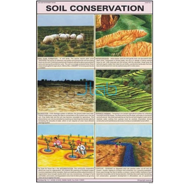
Soil Conservation Chart (code EL-MAE-3155) is a 50 x 75 cm wall chart on protecting soil from being washed or blown away, for geography, science and environmental studies lessons in schools. It is printed in multicolour, in natural colours, on 80 gsm map litho paper with a neat graphic design, and is offered in separate English, Hindi and Marathi editions. JLab (Jain Laboratory Instruments Pvt Ltd, Ambala, India) supplies it to schools, colleges and dealers.
Specifications
| Parameter | Detail |
|---|---|
| Subject | Soil conservation |
| Size | 50 x 75 cm |
| Printing | Multicolour, in natural colours, on 80 gsm map litho paper; neat graphic design |
| Language editions | English, Hindi or Marathi (separate charts) |
| Finish | Lamination and rollers are not stated in this listing; confirm the finish with JLab when you enquire |
| Methods shown | Not itemised in the listing; a preview image is available on request |
| Quality check | Each chart is visually inspected before dispatch |
| Pack quantity | Each (sold individually) |
| Minimum order quantity | 10 units |
| Dispatch time | Usually 7–10 working days |
| Product code | EL-MAE-3155 |
| Supplied by | Jain Laboratory Instruments Pvt Ltd (JLab), Ambala, India |
What Is the Soil Conservation Chart Used For?
Fertile topsoil takes a very long time to form but can be lost in a few heavy storms. Soil erosion — the removal of topsoil by running water and wind — is worst where trees and grass have been cleared or the land is over-grazed, and a chart on the wall helps pupils connect those causes with the remedies farmers and communities use.
The standard list of methods covers planting trees and grass cover (afforestation), cutting terraces into hill slopes, ploughing along the contours instead of up and down the slope, strip cropping and intercropping, rows of trees planted as shelter belts against the wind, small check dams or rock dams in gullies to slow running water, mulching bare soil, and controlled grazing. In NCERT geography these methods appear in the class 8 chapter on land, soil, water, natural vegetation and wildlife resources. Since the panels are not listed, request a preview image if the chart must match your textbook.
What to Specify When Ordering
- Language edition — English, Hindi or Marathi.
- Finish — ask JLab to confirm lamination and rollers, as the listing does not state them.
- Quantity — minimum 10 units, sold individually.
- Soil charts — the soil formation, soil types and soil resource charts linked below complete the topic.
Frequently Asked Questions
What size is the Soil Conservation Chart?
It measures 50 x 75 cm and is printed in multicolour on 80 gsm map litho paper.
Is the chart laminated and fitted with rollers?
The listing does not say. Other charts in the Man and Environment series are laminated and fitted with plastic rollers, but please confirm the finish of this title with JLab before ordering.
Which languages are available?
English, Hindi and Marathi, as separate editions.
What are the main methods of soil conservation?
Afforestation, terrace farming, contour ploughing, strip cropping, shelter belts, check dams, mulching and controlled grazing are the methods most often taught; each either keeps the soil covered or slows the water and wind that carry it away.
Who supplies this chart?
JLab, the trading name of Jain Laboratory Instruments Pvt Ltd, Ambala, Haryana, India, supplies it and quotes directly.
Supplier
JLab is the trading name of Jain Laboratory Instruments Pvt Ltd, incorporated in 2017 and based on Hargolal Road, Ambala, Haryana. JLab resells geography and environment charts such as this title together with the laboratory and teaching equipment in its own range, so schools and dealers can order wall charts and lab items from one supplier, and it checks each chart visually before dispatch. JLab exports worldwide and ships to buyers in every region — for example Kyrgyzstan in Central Asia, Iraq in the Middle East, Lithuania in Northern Europe, the Maldives in South Asia and Japan in East Asia. Tender buyers can use the JLab lab tenders page.
Related Soil and Environment Charts
- How Soil is formed and soil profile — how rock is slowly broken down into soil and how the layers of a soil profile are arranged.
- Types of Soils in India — the major soil types found across India.
- Soil - A Natural Resource — why soil matters, how it is lost and how it can be conserved.
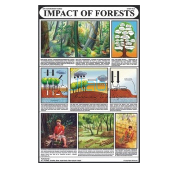
- Impacts of Forests Chart — how destroying forests sets off a vicious circle of loss of flora and fauna.
- Flora and Fauna Chart — how careless use of natural resources makes valuable species disappear.
See the full Man and Environment series or all Charts.
Request a Quote
JLab quotes directly. Use the Add To Cart enquiry button or the contact page to send the edition, the quantity (minimum 10 units), the finish you need and the delivery destination.
Last updated: 4 October 2026