
Earth and Its Motion Chart Manufacturer,Supplier and Exporter in India
Product Code : EL-COG-3108
Jlab Export is a leading Earth and Its Motion Chart Manufacturer,and suppliers in India
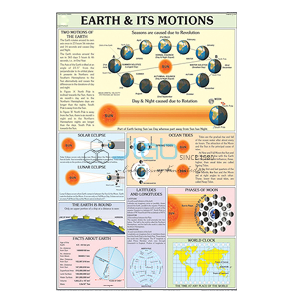
Earth and Its Motion Chart (code EL-COG-3108) is a 70 x 100 cm geography wall chart on the two movements of the Earth — rotation on its axis and revolution around the Sun — and what they cause, from day and night to the seasons. It is listed in English only or as a laminated English and Hindi combined chart. JLab (Jain Laboratory Instruments Pvt Ltd) makes the chart at its Ambala works in India.
Specifications
| Parameter | Detail |
|---|---|
| Topic | The Earth and its motions (Charts on Geography range) |
| Size | 70 x 100 cm |
| Versions | English only; or English and Hindi combined, laminated |
| Diagrams on the chart | Not itemised in the listing; ask for a preview image |
| Quality check | Each chart is visually inspected before dispatch |
| Pack quantity | Each (sold individually) |
| Minimum order quantity | 10 units |
| Dispatch time | Usually 7–10 working days |
| Product code | EL-COG-3108 |
| Manufacturer | Jain Laboratory Instruments Pvt Ltd (JLab) — OEM |
| Country of origin | India (made in Ambala, Haryana) |
What Is the Earth and Its Motion Chart Used For?
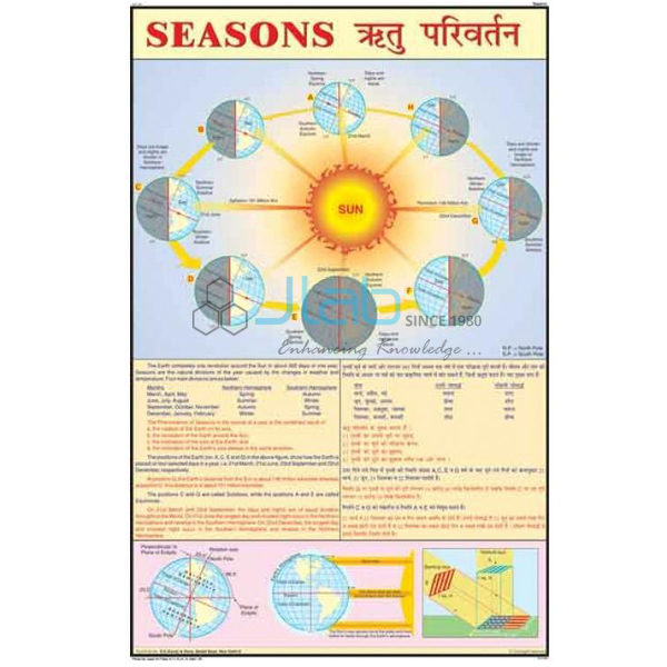
The chart supports the “motions of the Earth” lessons in middle-school geography. The Earth spins on its tilted axis from west to east once a day; this rotation brings day and night and makes the Sun appear to rise in the east and set in the west, with the circle of illumination dividing the lit half from the dark half. At the same time the Earth revolves around the Sun once a year along an elliptical orbit. Because the axis stays tilted in the same direction throughout that journey, each hemisphere receives more or less direct sunlight in turn, which gives the seasons, the changing length of the day, and the equinoxes and solstices.
Teachers often pair the chart with a tellurium or a torch-and-globe demonstration, so pupils can see the motion first and then fix the terms from the chart. The diagrams are not described in the listing, so request a preview image if you need to match a particular textbook.
What to Specify When Ordering
- Which version — English only, or laminated with English and Hindi combined.
- How many — the minimum order is 10 units.
- Related titles — the day and night, season, and latitude and longitude charts, or a tellurium model, if you are equipping a full unit.
Frequently Asked Questions
What does the Earth and Its Motion Chart cover?
Its subject is the Earth’s rotation and revolution. The individual diagrams are not listed, so JLab can share a preview image with your quotation if you ask.
What size is it?
70 x 100 cm.
Is there a Hindi version?
Yes: a laminated chart with English and Hindi combined. There is also an English-only chart, whose finish JLab confirms on request.
What should an export enquiry include?
The quantity, the destination country and port or city, the delivery terms you prefer (for example FOB or CIF), any packing or labelling needs and, for a tender, its reference.
Who makes this chart?
JLab — Jain Laboratory Instruments Pvt Ltd of Ambala, Haryana, India — prints it and quotes directly.
OEM Manufacturer
JLab is the trading name of Jain Laboratory Instruments Pvt Ltd, incorporated in 2017 and based on Hargolal Road, Ambala, Haryana. It prints geography wall charts such as this one alongside the laboratory and teaching equipment of its own range, so geography and science rooms can be equipped through one maker, and it checks each chart visually before dispatch. The company is registered under CIN U29309HR2017PTC069123 and holds GSTIN 06AADCJ9848D1ZE. JLab exports worldwide and ships to buyers in every region — for example the Dominican Republic in Central America and the Caribbean, Slovakia in Eastern Europe, the Netherlands in Western Europe, Morocco in North Africa and Ethiopia in East Africa. See the JLab lab tenders page for tender information.
More on Day, Night and the Seasons
- Day and Night Chart — a laminated chart on how the turning of the Earth gives day and night.
- Season Chart — a laminated chart on the seasons of the year.
- Tellurium Earth Moon Sun Model — shows the relative movements of the Sun, Earth and Moon, including day and night and the seasons.
- Latitude and Longitude Chart — the imaginary grid used to locate any place on Earth.
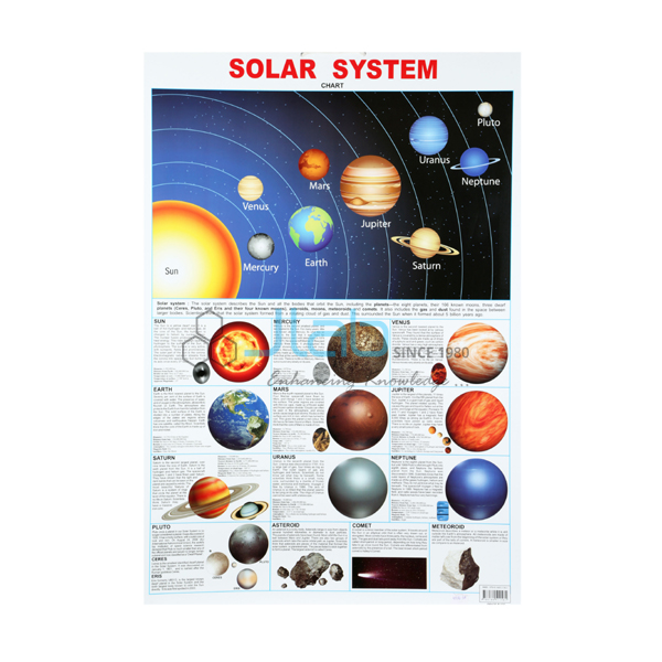
- Solar System Chart — the same size, placing the Earth among the planets.
Other titles are in Charts on Geography and the wider Charts section.
Request a Quote
For a quotation, use the Add To Cart enquiry button or the contact page. Tell JLab which version you need, the quantity (minimum 10 units) and where the charts are to be delivered.
Last updated: 25 October 2026