Latitude and Longitude Chart Manufacturer,Supplier and Exporter in India
Product Code : EL-COG-3132
Jlab Export is a leading Latitude and Longitude Chart Manufacturer,and suppliers in India
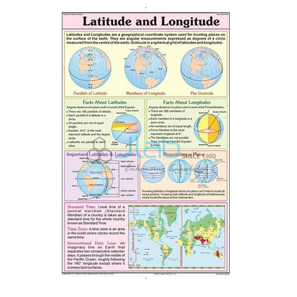
Latitude and Longitude Chart (code EL-COG-3132) is a laminated 50 x 75 cm geography wall chart on the grid of parallels and meridians used to fix the position of any place on Earth, for school map-work lessons and geography rooms. English and Hindi are combined on the sheet, so one chart serves both mediums of instruction. JLab (Jain Laboratory Instruments Pvt Ltd, Ambala, India) supplies it to schools, colleges and dealers.
Specifications
| Parameter | Detail |
|---|---|
| Topic | Latitude and longitude |
| Size | 50 x 75 cm |
| Finish | Laminated |
| Language | English and Hindi combined |
| Artwork | Lines and labels not itemised in the listing; a preview image can be requested |
| This listing covers | One chart; globes are separate catalogue items |
| Quality check | Each chart is visually inspected before dispatch |
| Pack quantity | Each (sold individually) |
| Minimum order quantity | 10 units |
| Dispatch time | Usually 7–10 working days |
| Product code | EL-COG-3132 |
| Supplied by | Jain Laboratory Instruments Pvt Ltd (JLab), Ambala, India |
What Is the Latitude and Longitude Chart Used For?
Parallels of latitude are imaginary circles drawn parallel to the Equator. The latitude of a place is its angular distance north or south of the Equator, from zero at the Equator to ninety degrees at either pole. Besides the Equator, the parallels pupils must know are the Tropic of Cancer, the Tropic of Capricorn and the Arctic and Antarctic Circles, which together mark out the torrid, temperate and frigid heat zones. Meridians of longitude are half-circles running from pole to pole, counted east or west of the Prime Meridian through Greenwich, near London, up to one hundred and eighty degrees. Where a parallel and a meridian cross, a place is pinned down exactly — the idea behind every map reference and every satellite navigation reading.
Longitude also explains time. As the Earth turns, each degree of longitude passes under the Sun in four minutes, so local time changes as you travel east or west; Indian Standard Time is taken from a central meridian passing near Mirzapur in Uttar Pradesh and runs five and a half hours ahead of Greenwich Mean Time. The topic opens in NCERT class 6 geography with the chapter on the globe, latitudes and longitudes, and returns in class 9 when students locate India on the grid. Request a preview image if you need particular lines or labels shown on the chart.
What to Specify When Ordering
- Quantity — minimum 10 charts, each sold individually.
- Preview — an image of the chart to check the lines and labels against your syllabus.
- Globe — a globe with a timescale lets students find the same lines in three dimensions.
- Delivery — town or export destination, with delivery terms such as FOB or CIF.
Frequently Asked Questions
What size is the Latitude and Longitude Chart, and is it laminated?
Yes, it is laminated, and it measures 50 x 75 cm with English and Hindi combined.
What is the difference between latitude and longitude?
Latitude tells you how far north or south of the Equator a place is, along circles parallel to it. Longitude tells you how far east or west of the Prime Meridian it is, along meridians that run from pole to pole.
Why does the Tropic of Cancer matter in Indian geography lessons?
It runs across the middle of India and divides the country into two nearly equal parts, with the southern part in the torrid zone and the northern part in the temperate zone.
How is longitude connected with time?
The Earth turns through every meridian once a day, so each degree of longitude equals four minutes of time. Countries choose a standard meridian for their clocks; India’s gives Indian Standard Time.
Which lines and labels are printed on the chart?
The listing does not describe the artwork in detail. Ask JLab for a preview image before ordering if specific parallels, meridians or labels are needed.
Can a globe be ordered with it?
Yes, as a separate item. The Physical Globe, linked below, is listed with a timescale and a laminated surface that can be marked and wiped clean.
Who supplies the chart?
Jain Laboratory Instruments Pvt Ltd, trading as JLab, of Ambala, Haryana, supplies it and quotes directly.
Supplier
JLab is the trading name of Jain Laboratory Instruments Pvt Ltd, a supplier of school laboratory equipment and geography teaching aids, incorporated in 2017 and based on Hargolal Road, Ambala, Haryana. Next to the equipment in its own catalogue, JLab resells printed wall charts like this one, so schools, dealers and importers can buy charts, globes and lab items together, and each chart is visually checked before it is packed. The company is registered under CIN U29309HR2017PTC069123 and holds GSTIN 06AADCJ9848D1ZE. JLab exports worldwide and ships to buyers in every region — for example Ecuador in South America, Honduras in Central America and the Caribbean, Eswatini in Southern Africa, Tunisia in North Africa and the USA in North America. Tender buyers can refer to the JLab lab tenders page.
Related Map and Globe Teaching Aids
- Physical Globe — a globe with a timescale and a markable, wipe-clean laminated surface.
- Map Projection Chart — how the curved Earth, with its lines of latitude and longitude, is drawn on a flat map.
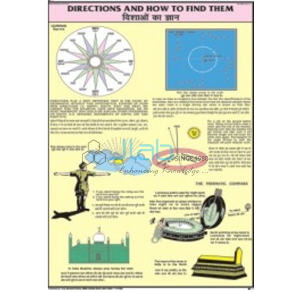
- Directions and How To Find Them Chart — a laminated 50 x 75 cm chart on the cardinal directions.
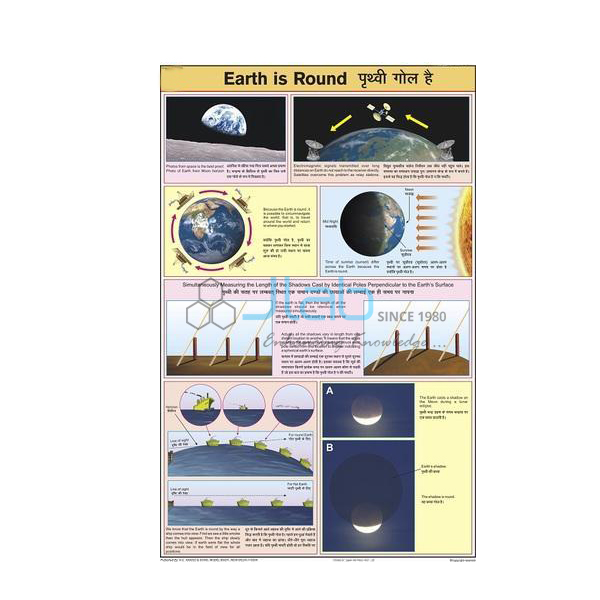
- Earth Is Round Chart — the round Earth on which the grid is drawn.
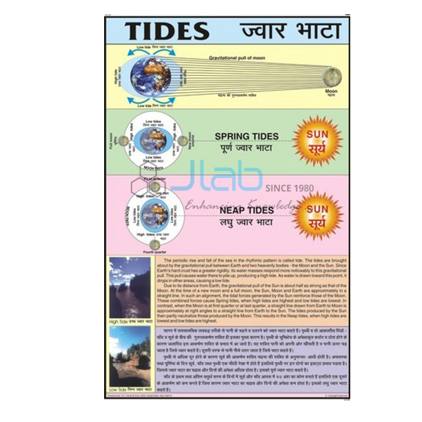
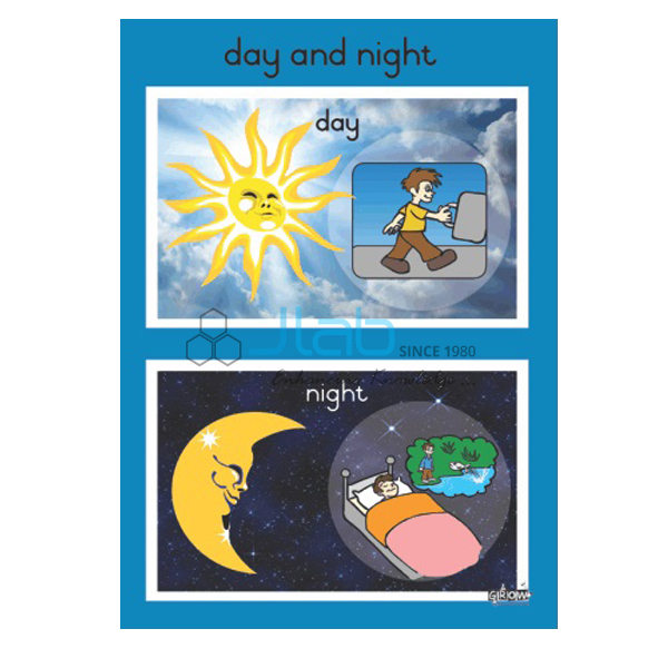
- Day and Night Chart — the rotation that links longitude with time.
- Political Globe — a globe showing the political boundaries of the world’s countries.
Browse more Charts on Geography or the full Charts range.
Request a Quote
Quotes come directly from JLab. Use the Add To Cart button on this page or the contact page and include the quantity (minimum 10 units), any globes or companion charts, and the place of delivery.
Last updated: 4 October 2026