Earth Is Round Chart Manufacturer,Supplier and Exporter in India
Product Code : EL-COG-3128
Jlab Export is a leading Earth Is Round Chart Manufacturer,and suppliers in India
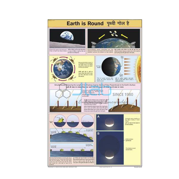
Earth Is Round Chart (code EL-COG-3128) is a laminated 50 x 75 cm geography wall chart on the shape of the Earth and the evidence that it is round, for the opening lessons of school geography and for general science classes. English and Hindi are printed side by side on the same sheet. JLab (Jain Laboratory Instruments Pvt Ltd, Ambala, India) supplies it to schools, colleges and dealers.
Specifications
| Parameter | Detail |
|---|---|
| Subject | The Earth is round — its shape and the evidence for it |
| Size | 50 x 75 cm |
| Finish | Laminated |
| Language | English and Hindi combined |
| Illustrations | Not itemised in the listing; a preview image is available on request |
| Quality check | Each chart is visually inspected before dispatch |
| Pack quantity | Each (sold individually) |
| Minimum order quantity | 10 units |
| Dispatch time | Usually 7–10 working days |
| Product code | EL-COG-3128 |
| Supplied by | Jain Laboratory Instruments Pvt Ltd (JLab), Ambala, India |
What Is the Earth Is Round Chart Used For?
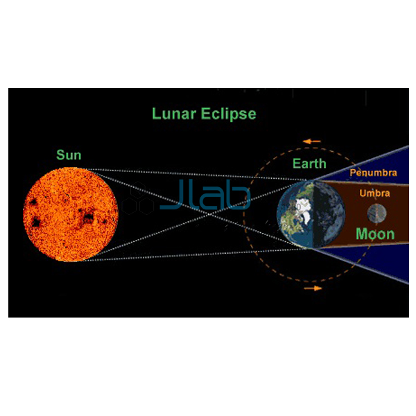
Children accept that the Earth is a ball long before they can say why, and this chart gives the teacher something to point at while the evidence is worked through. The classic observations are easy to follow: a ship sailing away disappears hull first, with the top of the mast the last part to drop below the horizon; during a lunar eclipse the Earth’s shadow on the Moon is always curved; travellers who keep going in one direction eventually come back to where they started; and photographs taken from space show a round planet.
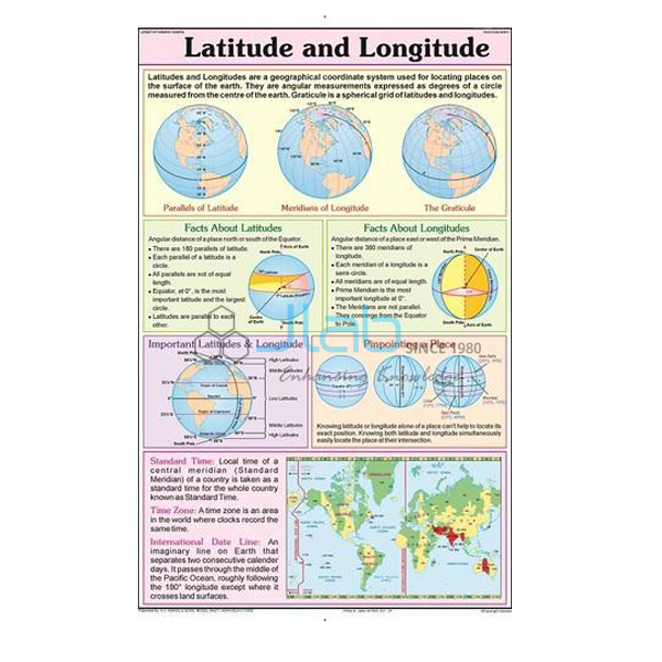
The lesson usually ends with a refinement: the Earth is not a perfect sphere but is slightly flattened at the poles and bulges at the equator, a shape described in NCERT class 6 geography as a geoid. The topic leads naturally to the globe, latitude and longitude, and day and night. Ask for a preview image if the chart has to match the diagrams in your textbook.
What to Specify When Ordering
- Quantity — 10 units minimum, sold individually.
- Preview — request an image of the chart to check it against your syllabus.
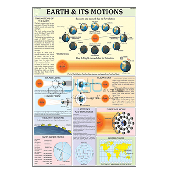
- Companion items — a globe and the day and night or eclipse charts make a complete set for the topic.
Frequently Asked Questions
What size is the Earth Is Round Chart?
It is 50 x 75 cm with a laminated finish.
Is the chart printed in English or Hindi?
Both. English and Hindi are combined on the one chart.
Why does a ship seem to sink as it sails away?
Because the sea surface curves. The hull drops below the horizon first and the mast last, which would not happen on a flat Earth.
Is the Earth a perfect sphere?
No. It is slightly flattened at the poles and bulges a little at the equator, so geographers describe its shape as a geoid.
Who supplies this chart?
JLab — Jain Laboratory Instruments Pvt Ltd of Ambala, Haryana, India — supplies it and sends quotations directly.
Supplier
JLab is the trading name of Jain Laboratory Instruments Pvt Ltd, a teaching and laboratory equipment company incorporated in 2017 with its base on Hargolal Road, Ambala, Haryana. Besides the equipment in its own range, JLab resells printed teaching charts like this one, which lets schools and dealers source geography room charts and lab items from one supplier; every chart is looked over before dispatch. The company is registered for GST under GSTIN 06AADCJ9848D1ZE and holds Legal Entity Identifier 549300DTGS77DGYD6N03. JLab ships worldwide and serves buyers in every region, among them Vanuatu in Oceania, Taiwan in East Asia, Armenia in Eastern Europe, Uzbekistan in Central Asia and Rwanda in East Africa. Information for tenders is on the JLab lab tenders page.
Related Earth and Globe Items
- Physical Globe — a globe, the most direct model of the Earth’s shape.
- Solar and Lunar Eclipse Chart — how eclipses happen, including the one that shows the Earth’s curved shadow.
- Day and Night Chart — how the turning of the Earth gives day and night.
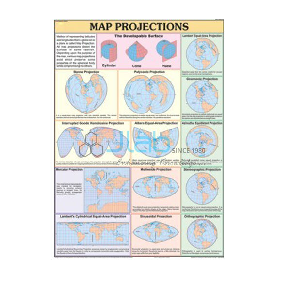
- Map Projection Chart — how the curved surface of the Earth is drawn on a flat map.
- Structure of Earth Chart — the layered interior, from crust and mantle to core.
Browse Charts on Geography or all Charts.
Request a Quote
Quotations come directly from JLab. Send the number of charts (minimum 10 units) and the delivery destination with the Add To Cart enquiry button or through the contact page, and mention any globe or companion charts you want quoted with it.
Last updated: 4 October 2026