Directions and How To Find Them Chart Manufacturer,Supplier and Exporter in India
Product Code : EL-COG-3126
Jlab Export is a leading Directions and How To Find Them Chart Manufacturer,and suppliers in India
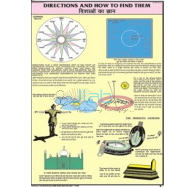
Directions and How To Find Them Chart (code EL-COG-3126) is a laminated 50 x 75 cm wall chart for teaching the cardinal directions and the everyday ways of working them out, used in primary and middle-school geography and map-skills lessons. English and Hindi are printed together on the one chart. JLab (Jain Laboratory Instruments Pvt Ltd, Ambala, India) supplies it to schools, colleges and dealers.
Specifications
| Parameter | Detail |
|---|---|
| Subject | Directions and how to find them |
| Size | 50 x 75 cm |
| Finish | Laminated |
| Language | English and Hindi combined |
| Chart content | The methods illustrated are not itemised in the listing; ask JLab for a preview image |
| Quality check | Each chart is visually inspected before dispatch |
| Pack quantity | Each (sold individually) |
| Minimum order quantity | 10 units |
| Dispatch time | Usually 7–10 working days |
| Product code | EL-COG-3126 |
| Supplied by | Jain Laboratory Instruments Pvt Ltd (JLab), Ambala, India |
What Is the Directions Chart Used For?
Finding direction is one of the first map skills children learn. The chart supports lessons on the four cardinal directions — north, south, east and west — and the intermediate directions between them, and on simple ways of working them out: the Sun rises roughly in the east and sets roughly in the west, the Pole Star marks north on a clear night in the Northern Hemisphere, and a magnetic compass needle settles pointing towards magnetic north. In NCERT geography the topic belongs to the class 6 lessons on maps, and it comes back whenever students set a map or take a bearing during fieldwork.
Hung at eye level in a classroom or geography lab, the chart works well as the introduction to an outdoor exercise in which students note where the Sun rises or check north with a compass. Because the methods drawn on it are not listed, ask for a preview image if it has to match a particular textbook.
What to Specify When Ordering
- Quantity — the minimum order is 10 charts, sold individually.
- Preview — ask for an image of the chart if it must follow your syllabus or textbook.
- Compasses — add field or prismatic compasses to the same enquiry if students will practise finding north outdoors.
- Companion map-skills charts — conventional signs, latitude and longitude, and contours complete the topic.
Frequently Asked Questions
What size is the Directions and How To Find Them Chart?
It measures 50 x 75 cm and is laminated.
Which languages are printed on it?
English and Hindi, combined on the same chart, so one sheet serves both languages of instruction.
What are the cardinal and intermediate directions?
The cardinal directions are north, south, east and west. Halfway between them lie the intermediate directions: north-east, south-east, south-west and north-west.
How can students find north without a compass?
At night in the Northern Hemisphere, the Pole Star stays almost fixed above the northern horizon. By day, a student who faces the rising Sun is looking roughly east, so north is on the left.
Are compasses included with the chart?
No. This listing covers the chart only; the field and prismatic compasses linked below are separate items that can go on the same enquiry.
Who supplies this chart?
JLab, the trading name of Jain Laboratory Instruments Pvt Ltd of Ambala, Haryana, India, supplies it and quotes for it directly.
Supplier
JLab is the trading name of Jain Laboratory Instruments Pvt Ltd, a laboratory and teaching-equipment company incorporated in 2017 and based on Hargolal Road, Ambala, Haryana. Alongside the equipment in its own range, JLab supplies wall charts such as this one, so a school or dealer can order geography teaching aids and laboratory items in a single enquiry, and each chart is checked visually before it is packed. JLab exports worldwide and ships to buyers in every region — for example Sweden in Northern Europe, Libya in North Africa, Angola in Central Africa, Laos in Southeast Asia and Uruguay in South America. Tender buyers can find details on the JLab lab tenders page.
Map-Skills Charts and Compasses
- Field Orienting Map Compass — a liquid-filled compass whose chamber steadies the needle quickly for fast readings.
- Prismatic Compass — a compass in a brass or aluminium circular box for taking bearings.
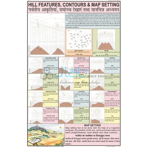
- Hill Features, Contours and Map Setting Chart — a laminated 50 x 75 cm chart on how relief is drawn with contour lines.
- Latitude and Longitude Chart — the imaginary grid used to locate any place on Earth.
- Conventional Signs Chart — the agreed symbols maps use for roads, rivers and settlements.
More in Charts on Geography and all Charts.
Request a Quote
JLab quotes directly for this chart. Use the Add To Cart enquiry button or the contact page to send the quantity (minimum 10 units), the delivery city or port, and any companion charts or compasses you need.
Last updated: 4 October 2026