Volcano Chart Manufacturer,Supplier and Exporter in India
Product Code : EL-COG-3137
Jlab Export is a leading Volcano Chart Manufacturer,and suppliers in India
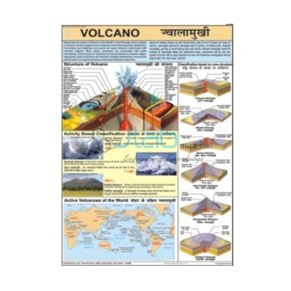
Volcano Chart (code EL-COG-3137) is a laminated 50 x 75 cm geography wall chart on volcanoes — how molten rock rises to the surface and builds the landforms around a vent — for earth science and physical geography lessons in schools and junior colleges. It carries English and Hindi together, so one copy serves both mediums of instruction. JLab (Jain Laboratory Instruments Pvt Ltd, Ambala, India) supplies it to schools, colleges and dealers.
Specifications
| Parameter | Detail |
|---|---|
| Topic | Volcanoes |
| Size | 50 x 75 cm |
| Finish | Laminated |
| Language | English and Hindi combined |
| Diagrams | Not itemised in the listing; a preview image can be requested |
| This listing covers | One chart; volcano models are separate catalogue items |
| Quality check | Each chart is visually inspected before dispatch |
| Pack quantity | Each (sold individually) |
| Minimum order quantity | 10 units |
| Dispatch time | Usually 7–10 working days |
| Product code | EL-COG-3137 |
| Supplied by | Jain Laboratory Instruments Pvt Ltd (JLab), Ambala, India |
What Is the Volcano Chart Used For?
Molten rock below the surface is called magma; once it erupts it is lava. A volcano is fed from a magma chamber through a vent, and repeated eruptions of lava, ash and rock fragments build a cone with a crater at the top. Volcanoes are grouped as active, dormant or extinct, and by shape: shield volcanoes, like those of Hawaii, are broad with gentle slopes because their runny basaltic lava flows a long way, while composite volcanoes such as Mount Fuji are steep cones of alternating lava and ash. Most volcanoes lie along the edges of the Earth’s plates, especially around the Pacific Ring of Fire, and a few, such as Hawaii, sit above hotspots. India’s only active volcano is Barren Island in the Andaman Sea, and the Deccan Traps of the peninsula were built up by vast flows of basalt lava long ago.
Teachers use the chart in middle-school chapters on the changing Earth and in the class 11 physical geography chapter on the interior of the Earth, which covers volcanoes and volcanic landforms. It also supports discussion of why farmers settle on fertile volcanic slopes despite the danger, and how volcanic heat can be tapped as geothermal energy. The diagrams are not itemised in the listing, so ask for a preview image if your lesson depends on a particular cross-section or volcano type.
What to Specify When Ordering
- Number of charts — minimum order 10 units.
- A three-dimensional model — the cutaway volcano model or the working volcano activity model makes the chart’s ideas tangible.
- Rock titles — the rocks and minerals chart or the rocks and volcanoes relief model extends the lesson to igneous rocks.
- Consignment details — delivery city and country, FOB or CIF terms for export, and tender reference if any.
Frequently Asked Questions
What is the difference between magma and lava?
Where the molten rock is. Magma is still underground, usually in a magma chamber; once it reaches the surface through a vent it is called lava.
Why do some volcanoes have gentle slopes and others steep cones?
Mainly because of the lava. Runny basaltic lava spreads far and builds broad shield volcanoes, while thicker lava and explosive ash eruptions pile up into steep composite cones.
Does India have an active volcano?
Yes — Barren Island in the Andaman Sea. Far older volcanic activity formed the basalt layers of the Deccan Traps.
How large is the chart and what language is it in?
It measures 50 x 75 cm, is laminated, and carries English and Hindi together.
Can I order a volcano model with it?
Yes. The models are separate listings, linked below, and can be quoted together with the chart in one enquiry.
Who supplies the Volcano Chart?
Jain Laboratory Instruments Pvt Ltd (JLab) of Ambala, Haryana, supplies it and quotes directly.
Supplier
JLab is the trading name of Jain Laboratory Instruments Pvt Ltd, a company incorporated in 2017 and based on Hargolal Road, Ambala, Haryana, that supplies school laboratory equipment, earth science models and teaching aids. Printed charts such as this one are resold by JLab next to the models and lab items in its own range, so an earth science room can be furnished from a single source, and every chart is visually inspected before dispatch. JLab exports worldwide and ships to buyers in every region — for example Vietnam in Southeast Asia, Senegal in West Africa, Hungary in Eastern Europe, Egypt in North Africa and Switzerland in Western Europe. Tender information is available on the JLab lab tenders page.
Volcano Models and Earth Science Charts
- Volcano Model — a hand-painted cutaway showing the inside of a volcano.
- Volcano Activity Model — a working model that erupts internally, with illustrated teacher and student literature.
- Rocks and Volcanoes 3D Model — a rigid PVC relief model of the rock types and volcanoes.
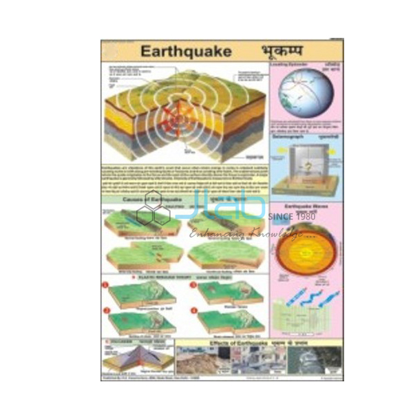
- Earthquake Chart — the companion laminated 50 x 75 cm chart on why the ground shakes.
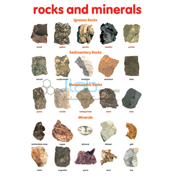
- Rocks and Minerals Chart — how the main rock types, including igneous rocks, form.
- Structure of Earth Chart — the crust, mantle and core beneath the volcano.
Browse more Charts on Geography or the full Charts range.
Request a Quote
JLab handles quotations directly. Use the Add To Cart enquiry button on this page or the contact page, and include the number of charts (minimum 10 units), any models you would like quoted, and the delivery location.
Last updated: 4 October 2026