Conventional Signs Chart Manufacturer,Supplier and Exporter in India

Product Code : EL-COG-3116
Jlab Export is a leading Conventional Signs Chart Manufacturer,and suppliers in India
Conventional Signs Chart (code EL-COG-3116) is a 70 x 100 cm geography wall chart on conventional signs — the agreed symbols, letters and colours that maps use for roads, rivers, settlements and other features — for map-reading lessons in schools and practical geography classes. It comes in English only or laminated with English and Hindi combined. JLab (Jain Laboratory Instruments Pvt Ltd, Ambala, India) supplies it to schools, colleges and dealers.
Specifications
| Parameter | Detail |
|---|---|
| Subject | Conventional signs and symbols used on maps |
| Chart size | 70 x 100 cm |
| Versions | English only; or English and Hindi combined, laminated |
| English-only version | Finish not stated in the listing; confirm with JLab |
| Quality check | Each chart is visually inspected before dispatch |
| Pack quantity | Each (sold individually) |
| Minimum order quantity | 10 units |
| Dispatch time | Usually 7–10 working days |
| Product code | EL-COG-3116 |
| Supplied by | Jain Laboratory Instruments Pvt Ltd (JLab), Ambala, India |
What Is the Conventional Signs Chart Used For?
Maps would be unreadable if every feature were drawn as it looks, so map-makers use conventional signs: small symbols, letters and colours that stand for roads, railways, rivers, wells, bridges, settlements, places of worship, contours and vegetation. On Survey of India topographical sheets, for example, water features are shown in blue, contours in brown and vegetation in green. Students meet these signs in the first map lessons of middle school — the class 6 chapter on maps introduces them — and use them constantly when they read topographical sheets in senior-secondary practical geography.
With the chart on the wall, students can decode a toposheet without stopping to look each sign up in a book, and teachers can quiz the class from it. The listing does not reproduce the signs, so ask for a preview image if the chart must follow a particular map series.
What to Specify When Ordering
- Version — English only, or English and Hindi combined (laminated).
- Quantity — 10 units or more.
- Map-work set — the hill features and contours, surveying and latitude and longitude charts make a practical geography set.
Frequently Asked Questions
Which signs are on the Conventional Signs Chart?
The individual signs are not listed. Its subject is the conventional signs and symbols used on maps; ask JLab for a preview image to compare it with the toposheets you use.
How large is the chart and which languages does it come in?
It is 70 x 100 cm, in English only or laminated with English and Hindi combined.
Is it the same as the Weather Map Symbols Chart?
No. This chart covers signs for features on general and topographical maps; the Weather Map Symbols Chart covers the symbols on weather maps, such as isobars and fronts.
Who supplies this chart?
JLab, the trading name of Jain Laboratory Instruments Pvt Ltd, Ambala, Haryana, India, supplies it and quotes directly.
Supplier
JLab is the trading name of Jain Laboratory Instruments Pvt Ltd, incorporated in 2017 and based on Hargolal Road, Ambala, Haryana. Together with the lab and teaching equipment in its own range, the company supplies map-reading and geography charts like this one, so a geography department can buy through one supplier; each chart is visually inspected before dispatch. JLab holds GSTIN 06AADCJ9848D1ZE and the Legal Entity Identifier 549300DTGS77DGYD6N03. JLab exports worldwide and ships to buyers in every region — for example Japan in East Asia, Gambia in West Africa, Spain in Southern Europe, Bolivia in South America and Lithuania in Northern Europe. Tender details are on the JLab lab tenders page.
Map-Reading Charts
- Hill Features, Contours and Map Setting Chart — how relief is drawn with contour lines and how a map is set.
- Surveying Chart — the same size, on measuring the ground to make maps.
- Map Projection Chart — the same size, on drawing the curved Earth on a flat map.
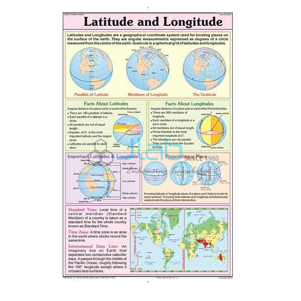
- Latitude and Longitude Chart — the grid used to locate any place on Earth.
- Weather Map Symbols Chart — the same size, on the symbols of weather maps.
See all of Charts on Geography or the wider Charts range.
Request a Quote
Quotations come directly from JLab. Use the Add To Cart enquiry button or the contact page, and state the version, the quantity (minimum 10 units) and the delivery destination.
Last updated: 4 October 2026