July Map Manufacturer,Supplier and Exporter in India

Product Code : EL-WMOI-3167
Jlab Export is a leading July Map Manufacturer,and suppliers in India
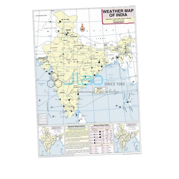
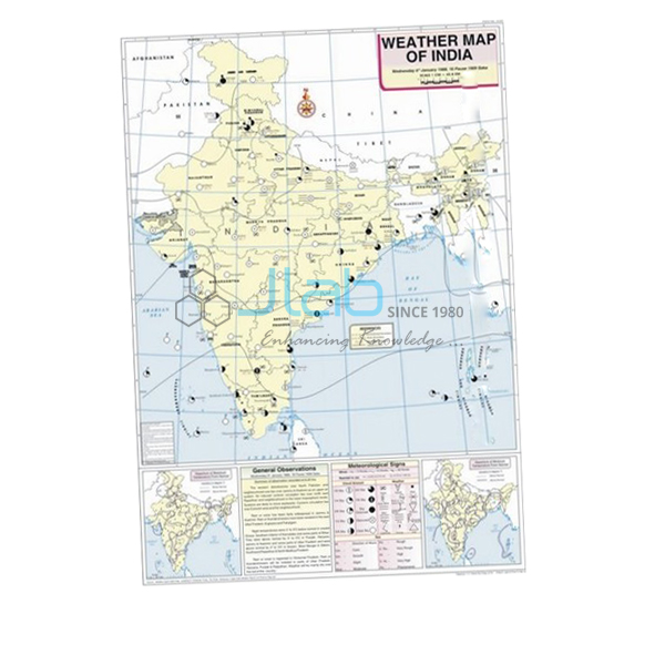
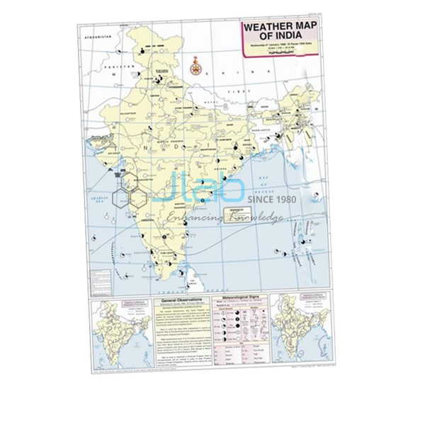
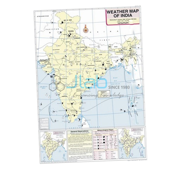
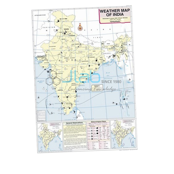
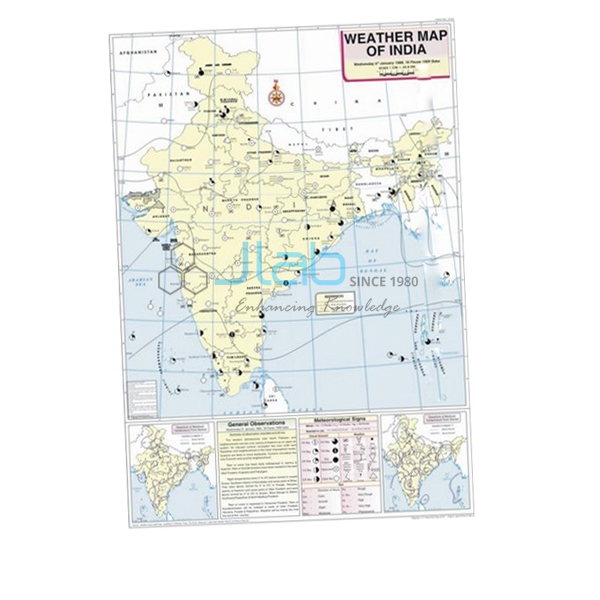
July Map (code EL-WMOI-3167) is a 70 x 100 cm wall map of India’s weather in July, used in geography lessons and labs to teach how daily weather is observed, recorded and mapped. It carries the locations of important meteorological stations, maximum and minimum temperatures, isobars and meteorological signs in English, printed in multiple colours on white synthetic polyart sheet with plastic rollers. It is made by Jain Laboratory Instruments Pvt Ltd (JLab) at its works in Ambala, India.
Specifications
| Parameter | Detail |
|---|---|
| Map | Weather map of India for July |
| Details on the map | Important meteorological stations in the country; weather conditions of the day and how to record and depict them; maximum and minimum temperature; isobars and meteorological signs |
| Printing | Multiple colours on white synthetic polyart sheet |
| Rollers | Plastic rollers for hanging |
| Size | 70 x 100 cm |
| Language | English |
| Quality check | Each map is visually inspected before dispatch |
| Pack quantity | Each (sold individually) |
| Minimum order quantity | 10 units |
| Dispatch time | Usually 7–10 working days |
| Product code | EL-WMOI-3167 |
| Manufacturer | Jain Laboratory Instruments Pvt Ltd (JLab) — OEM |
| Country of origin | India (made in Ambala, Haryana) |
What Is the July Weather Map Used For?
By July the south-west monsoon normally covers the whole of India, and July and August are the wettest months for most of the country. Where the rain falls depends largely on the monsoon trough, a belt of low pressure stretching from north-west India towards the head of the Bay of Bengal. When the trough shifts north to the Himalayan foothills, much of the plains gets a dry spell — a “break” in the monsoon — while the foothills receive heavy rain. The windward Western Ghats and the north-east are among the wettest areas, whereas the Thar Desert receives little.
In class, students use the July map to compare temperatures across stations, trace the isobars that outline areas of low and high pressure, and decode the meteorological signs into a written weather report. The map’s explanation of how a day’s weather is recorded and depicted is the pattern they follow in the weather maps and charts work of class 11 geography and in college practicals.
What to Specify When Ordering
- July maps — quantity required; the minimum is 10 units.
- Other months — June and August continue the monsoon story and are ordered as separate listings.
- Field equipment — a rain gauge or a maximum–minimum thermometer for the school weather station.
- Delivery — destination country or city, delivery terms and any tender reference.
Frequently Asked Questions
What can be read from the July Map?
The positions of India’s important meteorological stations, the maximum and minimum temperature at each, the isobars and the meteorological signs, plus how the day’s weather conditions are recorded and depicted.
What is a break in the monsoon?
A spell of several days with little rain over much of India during the monsoon, which happens when the monsoon trough moves north towards the Himalayan foothills.
Which other months should be shown with it?
The June map shows the monsoon advancing and the August map its continuation, so the three together cover the main rainy season. Each month is a separate listing.
What material is the map, and how is it hung?
It is printed in multiple colours on white synthetic polyart sheet and hangs from plastic rollers. It measures 70 x 100 cm, with English text.
How many must I order and when will they ship?
The minimum order is 10 units, supplied individually, and dispatch is usually within 7–10 working days after each map is visually inspected. Export transit depends on the destination.
Who manufactures the July Map?
JLab — Jain Laboratory Instruments Pvt Ltd — at its works in Ambala, Haryana, India.
OEM Manufacturer
The July map is made by Jain Laboratory Instruments Pvt Ltd, which trades as JLab and manufactures geography maps, wall charts and school laboratory equipment in India. Incorporated in 2017 and based on Hargolal Road, Ambala, Haryana, the company produces the map at its own works instead of buying it from a trader, so schools, colleges, dealers and importers order from the manufacturer itself; each map gets a visual inspection before packing, and the same works supplies repeat orders. JLab exports worldwide and serves every region — Morocco in North Africa, Canada in North America, the UK in Western Europe, Uzbekistan in Central Asia and Sierra Leone in West Africa, for instance. Tender buyers will find details on the JLab lab tenders page.
Related Monsoon Maps and Equipment
- June Map — the month the monsoon sets in and advances north.
- August Map — the next month of the rainy season.
- Rain Gauge — lets students compare rainfall between seasons.
- Thermometer Maximum Minimum Indoor or Outdoor — records daily maximum and minimum temperature.
- Weather Map Symbols Chart — explains the signs used on weather maps.
See the full Weather Maps of India range or all Charts.
Request a Quote
JLab quotes as the manufacturer. Use the Add To Cart enquiry button on this page, or send the months and quantities (minimum 10 units each) with your delivery location through the contact page.
Last updated: 4 October 2026